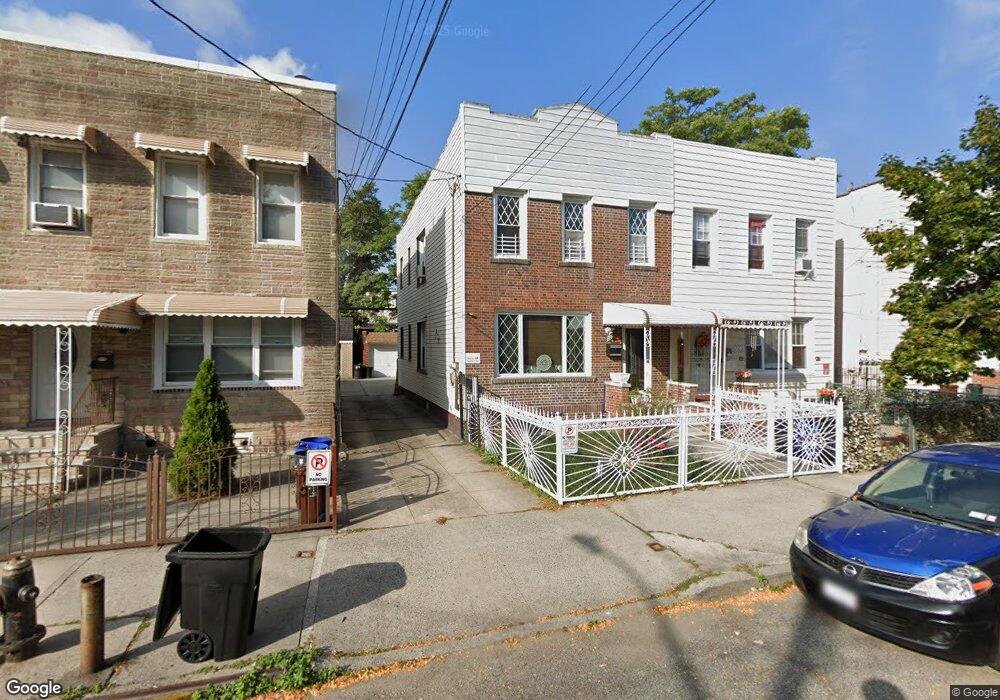
721 Calhoun Ave Bronx, NY 10465
Throgs Neck-Edgewater Park NeighborhoodEstimated Value: $695,059 - $821,000
Studio
--
Bath
1,600
Sq Ft
$473/Sq Ft
Est. Value
About This Home
This home is located at 721 Calhoun Ave, Bronx, NY 10465 and is currently estimated at $757,015, approximately $473 per square foot. 721 Calhoun Ave is a home located in Bronx County with nearby schools including P.S. 14 Senator John Calandra, Herbert H Lehman High School, and St Benedict School.
Ownership History
Date
Name
Owned For
Owner Type
Purchase Details
Closed on
Feb 12, 1996
Sold by
Goetze Paul A
Bought by
Mercado Nelson and Mercado Annette
Current Estimated Value
Home Financials for this Owner
Home Financials are based on the most recent Mortgage that was taken out on this home.
Original Mortgage
$139,650
Outstanding Balance
$4,552
Interest Rate
6.97%
Estimated Equity
$752,463
Create a Home Valuation Report for This Property
The Home Valuation Report is an in-depth analysis detailing your home's value as well as a comparison with similar homes in the area
Home Values in the Area
Average Home Value in this Area
Purchase History
| Date | Buyer | Sale Price | Title Company |
|---|---|---|---|
| Mercado Nelson | $147,000 | Commonwealth Land Title Ins |
Source: Public Records
Mortgage History
| Date | Status | Borrower | Loan Amount |
|---|---|---|---|
| Open | Mercado Nelson | $139,650 |
Source: Public Records
Tax History
| Year | Tax Paid | Tax Assessment Tax Assessment Total Assessment is a certain percentage of the fair market value that is determined by local assessors to be the total taxable value of land and additions on the property. | Land | Improvement |
|---|---|---|---|---|
| 2025 | $5,931 | $32,786 | $7,164 | $25,622 |
| 2024 | $5,931 | $30,931 | $6,493 | $24,438 |
| 2023 | $5,997 | $30,931 | $6,531 | $24,400 |
| 2022 | $5,841 | $36,600 | $8,640 | $27,960 |
| 2021 | $5,792 | $35,100 | $8,640 | $26,460 |
| 2020 | $5,487 | $34,140 | $8,640 | $25,500 |
| 2019 | $5,099 | $35,220 | $8,640 | $26,580 |
| 2018 | $4,957 | $25,776 | $6,836 | $18,940 |
| 2017 | $4,915 | $25,582 | $7,427 | $18,155 |
| 2016 | $4,515 | $24,134 | $7,555 | $16,579 |
| 2015 | $2,932 | $22,768 | $9,293 | $13,475 |
| 2014 | $2,932 | $21,480 | $9,600 | $11,880 |
Source: Public Records
Map
Nearby Homes
- 755 Quincy Ave
- 750 Swinton Ave
- 710 Revere Ave
- 815 Quincy Ave
- 815 Swinton Ave
- 2886 Randall Ave
- 836 Revere Ave
- 2887 Lamport Place
- 725 Logan Ave
- 755 Logan Ave
- 836 Edison Ave
- 730 Logan Ave
- 707 Hollywood Ave
- 941 Revere Ave
- 820 Hollywood Ave
- 945 Swinton Ave
- 822 Hollywood Ave
- 541 Edison Ave
- 541 Logan Ave
- 1003 Huntington Ave
- 723 Calhoun Ave
- 719 Calhoun Ave
- 727 Calhoun Ave
- 717 Calhoun Ave
- 729 Calhoun Ave
- 713 Calhoun Ave
- 711 Calhoun Ave
- 731 Calhoun Ave
- 720 Quincy Ave
- 722 Quincy Ave
- 718 Quincy Ave
- 726 Quincy Ave
- 726 Quincy Ave Unit 2
- 716 Quincy Ave
- 728 Quincy Ave
- 733 Calhoun Ave
- 712 Quincy Ave
- 730 Quincy Ave
- 722 Calhoun Ave Unit 2
- 722 Calhoun Ave
Your Personal Tour Guide
Ask me questions while you tour the home.