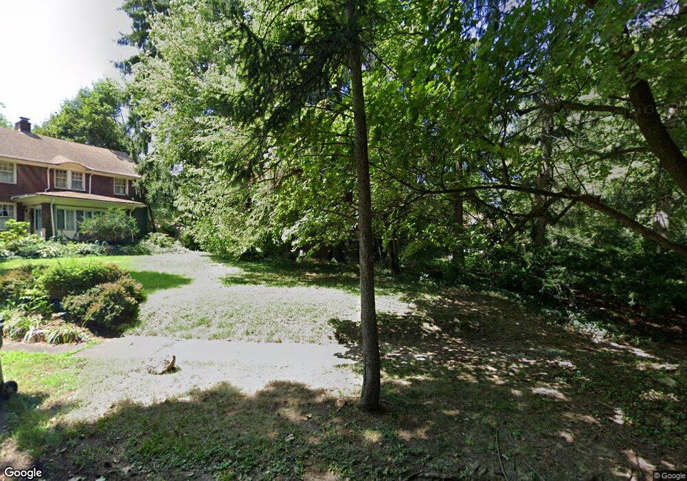
721 Cohasset Dr Youngstown, OH 44511
Idora NeighborhoodEstimated Value: $201,000
5
Beds
3
Baths
2,597
Sq Ft
$77/Sq Ft
Est. Value
About This Home
This home is located at 721 Cohasset Dr, Youngstown, OH 44511 and is currently estimated at $201,000, approximately $77 per square foot. 721 Cohasset Dr is a home located in Mahoning County with nearby schools including Kirkmere Elementary School, Chaney High School, and South Side Academy.
Ownership History
Date
Name
Owned For
Owner Type
Purchase Details
Closed on
May 27, 2004
Sold by
Investors Financial Intl Llc
Bought by
Taylor Allan D
Current Estimated Value
Purchase Details
Closed on
May 11, 2004
Sold by
Tcif Reo1 Llc
Bought by
Investors Financial Intl Llc
Purchase Details
Closed on
Feb 19, 2003
Sold by
Sheila Janutolo
Bought by
Tcip Reoi Llc
Purchase Details
Closed on
Dec 30, 1999
Sold by
Rafidi George and Rafidi Renee
Bought by
Janutolo Sheila
Purchase Details
Closed on
Dec 27, 1994
Sold by
Depizzo John A
Bought by
Rafidi George
Purchase Details
Closed on
Dec 29, 1982
Bought by
Dipizzo John A
Create a Home Valuation Report for This Property
The Home Valuation Report is an in-depth analysis detailing your home's value as well as a comparison with similar homes in the area
Home Values in the Area
Average Home Value in this Area
Purchase History
| Date | Buyer | Sale Price | Title Company |
|---|---|---|---|
| Taylor Allan D | $24,400 | Sovereign Title Agency Llc | |
| Investors Financial Intl Llc | $5,000 | Sovereign Title Agency Llc | |
| Tcip Reoi Llc | $26,000 | -- | |
| Janutolo Sheila | $85,900 | -- | |
| Rafidi George | $30,000 | -- | |
| Dipizzo John A | -- | -- |
Source: Public Records
Tax History Compared to Growth
Tax History
| Year | Tax Paid | Tax Assessment Tax Assessment Total Assessment is a certain percentage of the fair market value that is determined by local assessors to be the total taxable value of land and additions on the property. | Land | Improvement |
|---|---|---|---|---|
| 2024 | $1,290 | $26,390 | $2,380 | $24,010 |
| 2023 | $1,281 | $26,390 | $2,380 | $24,010 |
| 2022 | $885 | $14,030 | $2,380 | $11,650 |
| 2021 | $885 | $14,030 | $2,380 | $11,650 |
| 2020 | $890 | $14,030 | $2,380 | $11,650 |
| 2019 | $842 | $11,890 | $2,020 | $9,870 |
| 2018 | $873 | $11,890 | $2,020 | $9,870 |
| 2017 | $732 | $11,890 | $2,020 | $9,870 |
| 2016 | $617 | $9,300 | $2,020 | $7,280 |
| 2015 | $635 | $9,300 | $2,020 | $7,280 |
| 2014 | $630 | $9,300 | $2,020 | $7,280 |
| 2013 | $592 | $9,300 | $2,020 | $7,280 |
Source: Public Records
Map
Nearby Homes
- 738 Mineral Springs Ave
- 723 Mineral Springs Ave
- 725 Mineral Springs Ave
- 527 W Chalmers Ave
- 520 Kenmore Ave
- 408 W Earle Ave
- 401 Chicago Ave
- 411 Saint Louis Ave
- 196 W Delason Ave
- 406 Breaden St
- 1835 Mccollum Rd
- 1723 Overlook Ave
- 152 Regent St
- 153 W Warren Ave
- 148 Saint Louis Ave
- 1916 Comanche Trail
- 199 W Princeton Ave
- 804 S Belle Vista Ave
- 2615 Hillman St
- 1944 Overlook Ave
- 715 Cohasset Dr
- 709 Cohasset Dr
- 728 W Warren Ave
- 739 Cohasset Dr
- 720 W Warren Ave
- 734 Cohasset Dr
- 1823 Volney Rd
- 705 Cohasset Dr
- 712 W Warren Ave
- 740 Cohasset Dr
- 1730 Glenwood Ave
- 1823 Glenwood Ave
- 1724 Glenwood Ave
- 1647 Volney Rd
- 727 W Warren Ave
- 721 W Warren Ave
- 1905 Volney Rd
- 711 W Warren Ave
- 1720 Glenwood Ave
- 648 Cohasset Dr