721 Darrow Rd Akron, OH 44305
Goodyear Heights NeighborhoodEstimated Value: $124,000 - $159,000
2
Beds
1
Bath
968
Sq Ft
$146/Sq Ft
Est. Value
About This Home
This home is located at 721 Darrow Rd, Akron, OH 44305 and is currently estimated at $141,556, approximately $146 per square foot. 721 Darrow Rd is a home located in Summit County with nearby schools including Ellet High School, Summit Academy Akron Elementary School, and Cornerstone Community School.
Ownership History
Date
Name
Owned For
Owner Type
Purchase Details
Closed on
Jun 2, 1995
Sold by
C K R Properties
Bought by
Pudloski Jason J
Current Estimated Value
Home Financials for this Owner
Home Financials are based on the most recent Mortgage that was taken out on this home.
Original Mortgage
$46,300
Interest Rate
8.26%
Mortgage Type
New Conventional
Purchase Details
Closed on
Nov 23, 1994
Sold by
Akron Baptist Temple Inc
Bought by
C K R Properties Inc
Create a Home Valuation Report for This Property
The Home Valuation Report is an in-depth analysis detailing your home's value as well as a comparison with similar homes in the area
Home Values in the Area
Average Home Value in this Area
Purchase History
| Date | Buyer | Sale Price | Title Company |
|---|---|---|---|
| Pudloski Jason J | $54,500 | -- | |
| C K R Properties Inc | $22,000 | -- |
Source: Public Records
Mortgage History
| Date | Status | Borrower | Loan Amount |
|---|---|---|---|
| Closed | Pudloski Jason J | $46,300 |
Source: Public Records
Tax History
| Year | Tax Paid | Tax Assessment Tax Assessment Total Assessment is a certain percentage of the fair market value that is determined by local assessors to be the total taxable value of land and additions on the property. | Land | Improvement |
|---|---|---|---|---|
| 2025 | $2,814 | $41,062 | $7,875 | $33,187 |
| 2024 | $2,325 | $41,062 | $7,875 | $33,187 |
| 2023 | $2,814 | $41,062 | $7,875 | $33,187 |
| 2022 | $2,040 | $28,014 | $5,285 | $22,729 |
| 2021 | $2,042 | $28,014 | $5,285 | $22,729 |
| 2020 | $1,966 | $28,020 | $5,290 | $22,730 |
| 2019 | $1,697 | $21,740 | $5,290 | $16,450 |
| 2018 | $1,675 | $21,740 | $5,290 | $16,450 |
| 2017 | $1,701 | $21,740 | $5,290 | $16,450 |
| 2016 | $1,702 | $21,740 | $5,290 | $16,450 |
| 2015 | $1,701 | $21,740 | $5,290 | $16,450 |
| 2014 | $1,688 | $21,740 | $5,290 | $16,450 |
| 2013 | $1,822 | $21,020 | $5,290 | $15,730 |
Source: Public Records
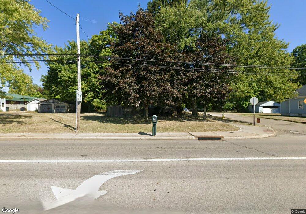
Map
Nearby Homes
- 517 Parkside Ln Unit H22
- 155 Waterford Way Unit 45
- 159 Waterford Way Unit 44
- 2360 Savoy Ave
- 434 Carruthers Rd
- 462 Pickwick Ln
- 565 Teddy Ave
- 420 Tammery Dr
- 0 Burbank Ave
- 449 Southeast Ave
- 425 Frazier Ave
- 1725 Olalla Ave
- 353 Southeast Ave
- 439 Larkin Ave
- 313 Southeast Ave
- 1183 Eastland Ave
- 1585 Norledge Rd
- 1605 Multnoma Ave
- 349/351, 353/355 Cluster Ave
- 365 Larkin Ave
- 725 Darrow Rd
- 709 Darrow Rd
- 731 Darrow Rd
- 703 Darrow Rd
- 737 Darrow Rd
- 697 Darrow Rd
- 2148 Eastwood Ave
- 693 Darrow Rd
- 2160 Eastwood Ave
- 2149 Savoy Ave
- 2139 Savoy Ave
- 2168 Eastwood Ave
- 2161 Savoy Ave
- 2176 Eastwood Ave
- 671 Darrow Rd
- 2184 Eastwood Ave
- 2173 Savoy Ave
- 2146 Savoy Ave
- 2152 Savoy Ave
- 2181 Savoy Ave
Your Personal Tour Guide
Ask me questions while you tour the home.