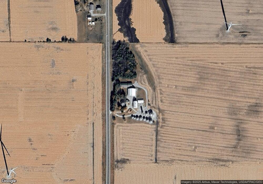
721 Highway 65 Hampton, IA 50441
Estimated Value: $328,000 - $838,070
5
Beds
2
Baths
2,702
Sq Ft
$216/Sq Ft
Est. Value
About This Home
This home is located at 721 Highway 65, Hampton, IA 50441 and is currently estimated at $583,035, approximately $215 per square foot. 721 Highway 65 is a home located in Franklin County with nearby schools including North Side Elementary School, South Side Elementary School, and Hampton-Dumont Middle School.
Create a Home Valuation Report for This Property
The Home Valuation Report is an in-depth analysis detailing your home's value as well as a comparison with similar homes in the area
Tax History
| Year | Tax Paid | Tax Assessment Tax Assessment Total Assessment is a certain percentage of the fair market value that is determined by local assessors to be the total taxable value of land and additions on the property. | Land | Improvement |
|---|---|---|---|---|
| 2025 | $10,210 | $803,200 | $17,100 | $786,100 |
| 2024 | $10,210 | $732,800 | $12,400 | $720,400 |
| 2023 | $5,930 | $740,100 | $12,400 | $727,700 |
| 2022 | $5,720 | $311,500 | $9,500 | $302,000 |
| 2021 | $5,720 | $301,600 | $10,300 | $291,300 |
| 2020 | $3,558 | $237,900 | $9,900 | $228,000 |
| 2019 | $3,150 | $207,600 | $0 | $0 |
| 2018 | $2,918 | $192,100 | $0 | $0 |
| 2017 | $2,844 | $188,100 | $0 | $0 |
| 2016 | $2,540 | $173,400 | $0 | $0 |
| 2015 | $2,540 | $176,200 | $0 | $0 |
| 2014 | $2,570 | $181,300 | $0 | $0 |
Source: Public Records
Map
Nearby Homes
Your Personal Tour Guide
Ask me questions while you tour the home.