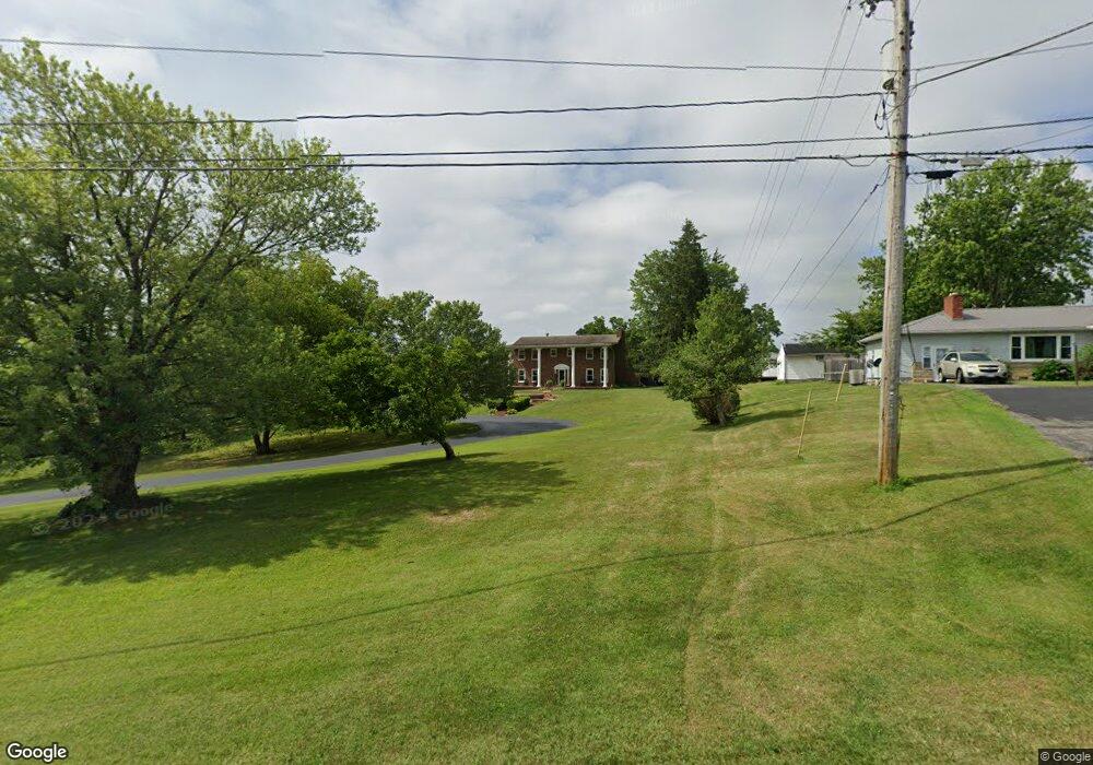
721 Panhandle Ave West Union, OH 45693
Estimated Value: $358,000 - $465,538
4
Beds
5
Baths
2,784
Sq Ft
$142/Sq Ft
Est. Value
About This Home
This home is located at 721 Panhandle Ave, West Union, OH 45693 and is currently estimated at $395,135, approximately $141 per square foot. 721 Panhandle Ave is a home located in Adams County with nearby schools including West Union Elementary School, West Union High School, and Adams County Christian School.
Ownership History
Date
Name
Owned For
Owner Type
Purchase Details
Closed on
Apr 1, 2019
Sold by
Stevens Saundra J
Bought by
Bailey Kenton and Bailey Tasha
Current Estimated Value
Home Financials for this Owner
Home Financials are based on the most recent Mortgage that was taken out on this home.
Original Mortgage
$224,100
Outstanding Balance
$197,024
Interest Rate
4.3%
Mortgage Type
New Conventional
Estimated Equity
$198,111
Purchase Details
Closed on
Dec 13, 2017
Sold by
Stevens Francis L and Stevens Saundra J
Bought by
Stevens Francis L and Stevens Saundra J
Purchase Details
Closed on
Jan 1, 1990
Bought by
Stevens Francis L
Create a Home Valuation Report for This Property
The Home Valuation Report is an in-depth analysis detailing your home's value as well as a comparison with similar homes in the area
Home Values in the Area
Average Home Value in this Area
Purchase History
| Date | Buyer | Sale Price | Title Company |
|---|---|---|---|
| Bailey Kenton | $249,000 | None Available | |
| Stevens Francis L | -- | None Available | |
| Stevens Francis L | -- | -- |
Source: Public Records
Mortgage History
| Date | Status | Borrower | Loan Amount |
|---|---|---|---|
| Open | Bailey Kenton | $224,100 |
Source: Public Records
Tax History Compared to Growth
Tax History
| Year | Tax Paid | Tax Assessment Tax Assessment Total Assessment is a certain percentage of the fair market value that is determined by local assessors to be the total taxable value of land and additions on the property. | Land | Improvement |
|---|---|---|---|---|
| 2024 | $4,142 | $122,020 | $15,720 | $106,300 |
| 2023 | $4,138 | $122,020 | $15,720 | $106,300 |
| 2022 | $4,138 | $101,680 | $13,830 | $87,850 |
| 2021 | $3,737 | $101,680 | $13,830 | $87,850 |
| 2020 | $3,821 | $102,340 | $14,490 | $87,850 |
| 2019 | $3,442 | $102,340 | $14,490 | $87,850 |
| 2018 | $2,962 | $90,900 | $14,490 | $76,410 |
| 2017 | $2,911 | $90,900 | $14,490 | $76,410 |
| 2016 | $2,906 | $90,900 | $14,490 | $76,410 |
| 2015 | $2,756 | $89,460 | $13,090 | $76,370 |
| 2014 | $2,757 | $89,460 | $13,090 | $76,370 |
Source: Public Records
Map
Nearby Homes
- 714 Panhandle Ave
- 0 State Route 41 1 Acre Lot
- 0 Cic Blvd
- 408 W South St
- 101 S Mound St
- 305 W Walnut St
- 302 W Main St
- 216 S Market St
- 286 & 290 S Market St
- 12196 State Route 41
- 204 E North St
- 4700 Ohio 247
- 144 ac Pumpkin Ridge Rd
- 104 N Washington St
- 70 Logans Ln
- 501 E Mulberry St
- 537 1st St
- 585 High St
- 526 E Walnut St
- 4423 Pumpkin Ridge Rd
- 729 Panhandle Ave
- 8059 State Route 125
- 737 Panhandle Ave
- 718 Panhandle Ave
- 726 State Route 125
- 8043 State Route 125
- 8025 State Route 125
- 702 Panhandle Ave
- 754 Panhandle Ave
- 703 Panhandle Ave
- 8037 State Route 125
- 684 Panhandle Ave
- 675 Panhandle Ave
- 664 Panhandle Ave
- 656 Panhandle Ave
- 655 Panhandle Ave
- 652 Panhandle Ave
- 649 Panhandle Ave
- 9639 State Route 125
- 9657 State Route 125