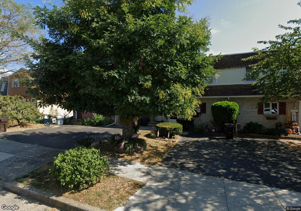
721 Pershing St Bridgeport, PA 19405
Estimated Value: $320,000 - $367,000
3
Beds
3
Baths
1,404
Sq Ft
$247/Sq Ft
Est. Value
About This Home
This home is located at 721 Pershing St, Bridgeport, PA 19405 and is currently estimated at $346,283, approximately $246 per square foot. 721 Pershing St is a home located in Montgomery County with nearby schools including Bridgeport Elementary School, Upper Merion Middle School, and Upper Merion High School.
Ownership History
Date
Name
Owned For
Owner Type
Purchase Details
Closed on
Sep 9, 2022
Sold by
Binder Heidi
Bought by
Binder Adelheid E
Current Estimated Value
Purchase Details
Closed on
Sep 22, 1999
Sold by
Toth Thomas A and Toth Linda S
Bought by
Binder Heidi
Purchase Details
Closed on
Dec 21, 1995
Sold by
Toth Thomas A
Bought by
Toth Thomas A and Toth Linda S
Create a Home Valuation Report for This Property
The Home Valuation Report is an in-depth analysis detailing your home's value as well as a comparison with similar homes in the area
Home Values in the Area
Average Home Value in this Area
Purchase History
| Date | Buyer | Sale Price | Title Company |
|---|---|---|---|
| Binder Adelheid E | $98,000 | -- | |
| Binder Heidi | $98,000 | -- | |
| Toth Thomas A | -- | -- |
Source: Public Records
Tax History Compared to Growth
Tax History
| Year | Tax Paid | Tax Assessment Tax Assessment Total Assessment is a certain percentage of the fair market value that is determined by local assessors to be the total taxable value of land and additions on the property. | Land | Improvement |
|---|---|---|---|---|
| 2025 | $2,891 | $93,800 | $22,080 | $71,720 |
| 2024 | $2,891 | $93,800 | $22,080 | $71,720 |
| 2023 | $2,788 | $93,800 | $22,080 | $71,720 |
| 2022 | $2,669 | $93,800 | $22,080 | $71,720 |
| 2021 | $2,586 | $93,800 | $22,080 | $71,720 |
| 2020 | $2,471 | $93,800 | $22,080 | $71,720 |
| 2019 | $2,429 | $93,800 | $22,080 | $71,720 |
| 2018 | $2,430 | $93,800 | $22,080 | $71,720 |
| 2017 | $2,342 | $93,800 | $22,080 | $71,720 |
| 2016 | $2,305 | $93,800 | $22,080 | $71,720 |
| 2015 | $2,221 | $93,800 | $22,080 | $71,720 |
| 2014 | $2,221 | $93,800 | $22,080 | $71,720 |
Source: Public Records
Map
Nearby Homes
- 823 Coates St
- 504 Holstein St
- 407 Holstein St
- 715 Bradley St Unit 21
- 314 Grove St
- 425 Grove St
- 18 Coates St
- 947 Coates St Unit 19 COATES ST
- 530 Grove St
- 532 Bush St
- 13 Ford St Unit A
- 13 Ford St Unit B
- 19 E Front St
- 22 Anderson Dr
- 9 Barbine Way
- 3 Barbine Way
- 7 Ford St Unit A
- 27 Atkins Dr
- 16 Anderson Dr
- 14 Anderson Dr
- 719 Pershing St
- 723 Pershing St
- 717 Pershing St
- 725 Pershing St
- 715 Pershing St
- 713 Pershing St
- 727 Pershing St
- 729 Pershing St
- 711 Pershing St
- 731 Pershing St
- 709 Pershing St
- 730 Pershing St
- 733 Pershing St
- 707 Pershing St
- 735 Pershing St
- 705 Pershing St
- 734 Pershing St
- 703 Pershing St
- 329 Pershing St
- 737 Pershing St