721 Piper Rd Haslett, MI 48840
Estimated Value: $325,098 - $422,000
3
Beds
2
Baths
3,023
Sq Ft
$126/Sq Ft
Est. Value
About This Home
This home is located at 721 Piper Rd, Haslett, MI 48840 and is currently estimated at $380,275, approximately $125 per square foot. 721 Piper Rd is a home located in Ingham County with nearby schools including Haslett High School and St. Martha School.
Ownership History
Date
Name
Owned For
Owner Type
Purchase Details
Closed on
Apr 20, 2005
Sold by
Green Richard L and Green Jennifer J
Bought by
Green Richard L and Juers Green Jennifer
Current Estimated Value
Home Financials for this Owner
Home Financials are based on the most recent Mortgage that was taken out on this home.
Original Mortgage
$161,450
Outstanding Balance
$78,345
Interest Rate
4.87%
Mortgage Type
Stand Alone Refi Refinance Of Original Loan
Estimated Equity
$301,930
Purchase Details
Closed on
Jul 8, 1999
Sold by
Lindberg Leslie J and Lindberg Nadia
Bought by
Green Richard L
Home Financials for this Owner
Home Financials are based on the most recent Mortgage that was taken out on this home.
Original Mortgage
$95,000
Interest Rate
7.43%
Mortgage Type
Purchase Money Mortgage
Purchase Details
Closed on
May 1, 1991
Bought by
Lindberg
Purchase Details
Closed on
Dec 1, 1989
Bought by
Hildenbrand
Purchase Details
Closed on
Jun 1, 1988
Bought by
Close
Create a Home Valuation Report for This Property
The Home Valuation Report is an in-depth analysis detailing your home's value as well as a comparison with similar homes in the area
Home Values in the Area
Average Home Value in this Area
Purchase History
| Date | Buyer | Sale Price | Title Company |
|---|---|---|---|
| Green Richard L | -- | Devon Title | |
| Green Richard L | $100,000 | -- | |
| Lindberg | $81,000 | -- | |
| Hildenbrand | $83,000 | -- | |
| Close | $74,900 | -- |
Source: Public Records
Mortgage History
| Date | Status | Borrower | Loan Amount |
|---|---|---|---|
| Open | Green Richard L | $161,450 | |
| Closed | Green Richard L | $95,000 |
Source: Public Records
Tax History
| Year | Tax Paid | Tax Assessment Tax Assessment Total Assessment is a certain percentage of the fair market value that is determined by local assessors to be the total taxable value of land and additions on the property. | Land | Improvement |
|---|---|---|---|---|
| 2025 | $5,312 | $145,000 | $30,900 | $114,100 |
| 2024 | $5,050 | $133,700 | $25,400 | $108,300 |
| 2023 | $5,050 | $122,800 | $23,000 | $99,800 |
| 2022 | $4,890 | $113,200 | $18,200 | $95,000 |
| 2021 | $4,660 | $106,100 | $17,500 | $88,600 |
| 2020 | $4,598 | $100,300 | $17,500 | $82,800 |
| 2019 | $4,420 | $95,800 | $14,000 | $81,800 |
| 2018 | $4,229 | $91,400 | $14,300 | $77,100 |
| 2017 | $4,007 | $90,400 | $14,300 | $76,100 |
| 2016 | $1,805 | $88,000 | $14,300 | $73,700 |
| 2015 | $1,805 | $82,800 | $27,704 | $55,096 |
| 2014 | $1,805 | $76,100 | $26,734 | $49,366 |
Source: Public Records
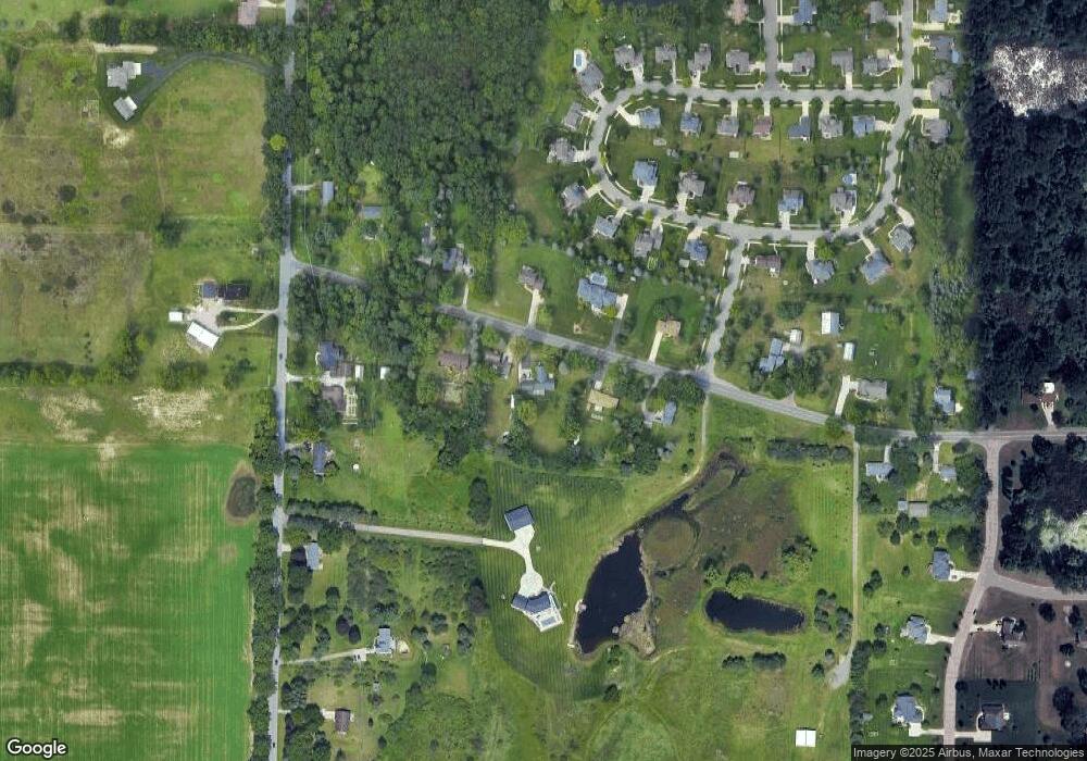
Map
Nearby Homes
- 5384 van Atta Rd
- 575 Piper Rd
- 5614 Copper Creek Dr
- 5603 Copper Creek Dr
- 5669 Copper Creek Dr
- 0 van Atta Rd
- 1171 Teakwood Cir
- 161 Germany Rd
- 5837 Carlton St
- 1153 Woodwind Trail
- 6101 Oak Park Trail
- 1235 Woodwind Trail
- 5684 Shaw St
- 6046 Oakpark Trail
- 5828 Lake Dr
- 4552 van Atta Rd
- 1488 Silverstone Way
- 725 W Grand River Ave
- 1830 Nemoke Trail
- 6299 Quail St
Your Personal Tour Guide
Ask me questions while you tour the home.