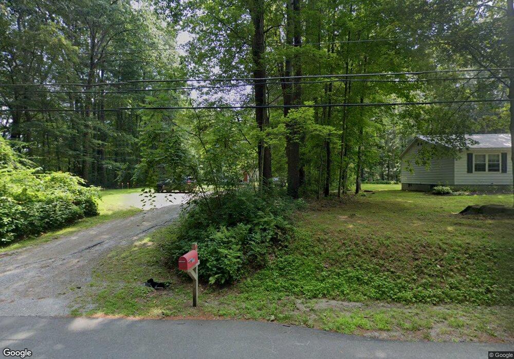
721 Salisbury Rd Sheffield, MA 01257
Estimated Value: $463,000 - $578,097
3
Beds
2
Baths
1,848
Sq Ft
$278/Sq Ft
Est. Value
About This Home
This home is located at 721 Salisbury Rd, Sheffield, MA 01257 and is currently estimated at $514,274, approximately $278 per square foot. 721 Salisbury Rd is a home located in Berkshire County with nearby schools including Mt. Everett High School.
Ownership History
Date
Name
Owned For
Owner Type
Purchase Details
Closed on
Apr 30, 2025
Sold by
Reeves Dylan and Wilkinson Cari
Bought by
D Reeves & C Wilkinson Ft and Reeves
Current Estimated Value
Purchase Details
Closed on
Mar 22, 2011
Sold by
Fnma
Bought by
Wadia Sorab N
Home Financials for this Owner
Home Financials are based on the most recent Mortgage that was taken out on this home.
Original Mortgage
$125,000
Interest Rate
5%
Mortgage Type
Purchase Money Mortgage
Purchase Details
Closed on
Mar 22, 2010
Sold by
Johnston Christine and Mers
Bought by
Federal National Mortgage Association
Purchase Details
Closed on
Mar 12, 1999
Sold by
Wilkinson Joe
Bought by
Johnston Christopher C and Johnston Christine
Create a Home Valuation Report for This Property
The Home Valuation Report is an in-depth analysis detailing your home's value as well as a comparison with similar homes in the area
Home Values in the Area
Average Home Value in this Area
Purchase History
| Date | Buyer | Sale Price | Title Company |
|---|---|---|---|
| D Reeves & C Wilkinson Ft | -- | None Available | |
| D Reeves & C Wilkinson Ft | -- | None Available | |
| Wadia Sorab N | $205,000 | -- | |
| Wadia Sorab N | $205,000 | -- | |
| Federal National Mortgage Association | $252,144 | -- | |
| Federal National Mortgage Association | $252,144 | -- | |
| Johnston Christopher C | $27,500 | -- |
Source: Public Records
Mortgage History
| Date | Status | Borrower | Loan Amount |
|---|---|---|---|
| Previous Owner | Wadia Sorab N | $125,000 | |
| Previous Owner | Johnston Christopher C | $173,000 | |
| Previous Owner | Johnston Christopher C | $40,000 |
Source: Public Records
Tax History Compared to Growth
Tax History
| Year | Tax Paid | Tax Assessment Tax Assessment Total Assessment is a certain percentage of the fair market value that is determined by local assessors to be the total taxable value of land and additions on the property. | Land | Improvement |
|---|---|---|---|---|
| 2025 | $4,507 | $372,200 | $87,400 | $284,800 |
| 2024 | $4,373 | $372,200 | $87,400 | $284,800 |
| 2023 | $4,055 | $372,200 | $87,400 | $284,800 |
| 2022 | $4,055 | $326,000 | $87,400 | $238,600 |
| 2021 | $4,040 | $291,100 | $84,200 | $206,900 |
| 2020 | $4,031 | $287,900 | $84,200 | $203,700 |
| 2019 | $3,940 | $254,200 | $71,400 | $182,800 |
| 2018 | $3,747 | $254,200 | $71,400 | $182,800 |
| 2017 | $3,732 | $254,200 | $71,400 | $182,800 |
| 2016 | $3,882 | $270,700 | $87,900 | $182,800 |
| 2015 | $3,922 | $270,700 | $87,900 | $182,800 |
Source: Public Records
Map
Nearby Homes
- 321 Salisbury Rd
- 412 Berkshire School Rd
- 166 Berkshire School Rd
- 16 Lilac Ln
- 856 Barnum St
- 119 S Main St
- 232 Giberson Rd
- 414 S Undermountain Rd
- 60 Parsley Ln
- 86 Main St
- 175 Main St
- 168 Main St
- 254 Main St
- 454 Sheffield Plain
- 604 Sheffield Plain
- 95 Water Farm Rd
- 381 Sheffield-Egremont Rd
- 1669 Silver St
- 649 Hewins St
- 1786 S Undermountain Rd
- 735 Salisbury Rd
- 751 Salisbury Rd
- 775 Salisbury Rd
- 675 Salisbury Rd
- 776 Salisbury Rd
- 660 Salisbury Rd
- 793 Salisbury Rd
- Lot 18 Salisbury Rd
- Lot #1 Salisbury Rd
- 820 Salisbury Rd
- 811 Salisbury Rd
- 644 Salisbury Rd
- 828 Salisbury Rd
- 828 Salisbury Rd
- 825 Salisbury Rd
- 626 Salisbury Rd
- 585 Salisbury Rd
- 600 Salisbury Rd
- 608 Salisbury Rd