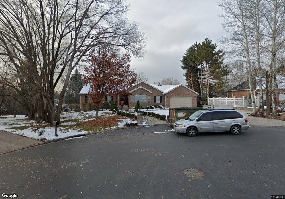
721 Stamford Ct Alpine, UT 84004
Estimated Value: $1,052,000
5
Beds
3
Baths
3,586
Sq Ft
$293/Sq Ft
Est. Value
About This Home
This home is located at 721 Stamford Ct, Alpine, UT 84004 and is currently priced at $1,052,000, approximately $293 per square foot. 721 Stamford Ct is a home located in Utah County with nearby schools including Alpine School, Timberline Middle School, and Lone Peak High School.
Ownership History
Date
Name
Owned For
Owner Type
Purchase Details
Closed on
Sep 20, 2023
Sold by
Jones Myron R and Jones Jolene
Bought by
Jensen Family Trust and Jensen
Current Estimated Value
Purchase Details
Closed on
Jun 20, 2003
Sold by
Allen Charles and Allen Laura
Bought by
Jones Myron R and Jones Jolene
Purchase Details
Closed on
May 25, 1999
Sold by
Sainsbury Clifford Thomas and Sainsbury Deborah Ann
Bought by
Allen Charles and Allen Laura
Home Financials for this Owner
Home Financials are based on the most recent Mortgage that was taken out on this home.
Original Mortgage
$180,000
Interest Rate
6.86%
Create a Home Valuation Report for This Property
The Home Valuation Report is an in-depth analysis detailing your home's value as well as a comparison with similar homes in the area
Home Values in the Area
Average Home Value in this Area
Purchase History
| Date | Buyer | Sale Price | Title Company |
|---|---|---|---|
| Jensen Family Trust | -- | None Listed On Document | |
| Jones Myron R | -- | Title West Title Company | |
| Allen Charles | -- | Timp Title Insurance Agency |
Source: Public Records
Mortgage History
| Date | Status | Borrower | Loan Amount |
|---|---|---|---|
| Previous Owner | Allen Charles | $180,000 |
Source: Public Records
Tax History Compared to Growth
Tax History
| Year | Tax Paid | Tax Assessment Tax Assessment Total Assessment is a certain percentage of the fair market value that is determined by local assessors to be the total taxable value of land and additions on the property. | Land | Improvement |
|---|---|---|---|---|
| 2023 | $3,647 | $458,535 | $0 | $0 |
| 2022 | $3,647 | $443,190 | $0 | $0 |
| 2021 | $3,215 | $606,900 | $407,800 | $199,100 |
| 2020 | $2,976 | $549,800 | $354,600 | $195,200 |
| 2019 | $2,719 | $524,300 | $354,600 | $169,700 |
| 2018 | $2,549 | $485,700 | $319,100 | $166,600 |
| 2017 | $2,421 | $245,465 | $0 | $0 |
| 2016 | $2,560 | $242,055 | $0 | $0 |
Source: Public Records
Map
Nearby Homes
- 653 Hampton Ct
- 667 E 770 N
- 870 Quail Hollow Cir
- 1116 Birch Cir
- 1131 E Fox Meadow Ln Unit 5
- 381 E Watkins Cir Unit 28
- 475 Grove Dr
- 659 E Pioneer Rd
- 1249 E Pioneer Rd
- 382 E Heritage Hills Dr
- 287 E Heritage Hills Dr
- 35 Sledhill Cir Unit 2
- 1319 N Eastview Ln Unit 214
- 1333 N Eastview Ln
- Finale Plan at The Ridge at Alpine
- Harvard Plan at The Ridge at Alpine
- Timpani Plan at The Ridge at Alpine
- Forte Plan at The Ridge at Alpine
- Anthem Plan at The Ridge at Alpine
- Fortissimo Plan at The Ridge at Alpine
- 721 Stamford Ct Unit 11
- 722 Coventry Ln
- 705 Stamford Ct
- 762 E Coventry Ln
- 736 N 610 E
- 762 Coventry Ln
- 708 Stamford Ct
- 739 Coventry Ln
- 739 E Coventry Ln
- 706 N 610 E
- 663 Hampton Ct
- 667 E 770 N
- 775 E Coventry Ln
- 775 Coventry Ln
- 778 E Coventry Ln
- 778 Coventry Ln
- 670 N 610 E
- 670 N 610 E
- 610 E 770 N
- 651 E 770 N