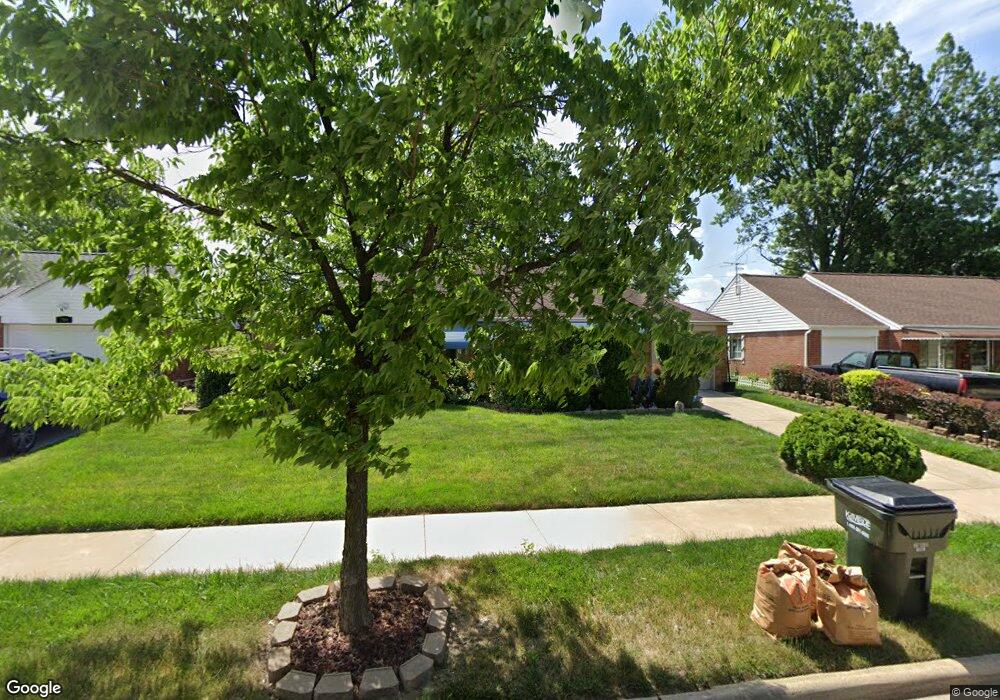
721 Walnut Dr Euclid, OH 44132
Estimated Value: $159,043 - $192,000
3
Beds
2
Baths
1,401
Sq Ft
$125/Sq Ft
Est. Value
About This Home
This home is located at 721 Walnut Dr, Euclid, OH 44132 and is currently estimated at $175,511, approximately $125 per square foot. 721 Walnut Dr is a home located in Cuyahoga County with nearby schools including Shoreview Elementary School, Euclid High School, and Ss. Robert & William Catholic School.
Ownership History
Date
Name
Owned For
Owner Type
Purchase Details
Closed on
Feb 10, 2006
Sold by
Deas Michelle R
Bought by
Redrick Bertha L
Current Estimated Value
Home Financials for this Owner
Home Financials are based on the most recent Mortgage that was taken out on this home.
Original Mortgage
$102,600
Outstanding Balance
$64,503
Interest Rate
8.25%
Mortgage Type
New Conventional
Estimated Equity
$111,008
Purchase Details
Closed on
Jun 24, 2000
Sold by
Agatha Dexter and Gessic Agatha R
Bought by
Deas Michelle R
Home Financials for this Owner
Home Financials are based on the most recent Mortgage that was taken out on this home.
Original Mortgage
$88,420
Interest Rate
8.55%
Purchase Details
Closed on
Sep 10, 1987
Sold by
Agatha R Gessic
Bought by
Dexter Agatha
Purchase Details
Closed on
Oct 1, 1976
Sold by
Gessic James J and Gessic Agatha R
Bought by
Agatha R Gessic
Purchase Details
Closed on
Jan 1, 1975
Bought by
Gessic James J and Gessic Agatha R
Create a Home Valuation Report for This Property
The Home Valuation Report is an in-depth analysis detailing your home's value as well as a comparison with similar homes in the area
Home Values in the Area
Average Home Value in this Area
Purchase History
| Date | Buyer | Sale Price | Title Company |
|---|---|---|---|
| Redrick Bertha L | $114,000 | Real Estate Title Service C | |
| Deas Michelle R | $95,000 | -- | |
| Dexter Agatha | -- | -- | |
| Agatha R Gessic | -- | -- | |
| Gessic James J | -- | -- |
Source: Public Records
Mortgage History
| Date | Status | Borrower | Loan Amount |
|---|---|---|---|
| Open | Redrick Bertha L | $102,600 | |
| Previous Owner | Deas Michelle R | $88,420 |
Source: Public Records
Tax History Compared to Growth
Tax History
| Year | Tax Paid | Tax Assessment Tax Assessment Total Assessment is a certain percentage of the fair market value that is determined by local assessors to be the total taxable value of land and additions on the property. | Land | Improvement |
|---|---|---|---|---|
| 2024 | $3,657 | $53,375 | $9,100 | $44,275 |
| 2023 | $3,348 | $38,960 | $8,050 | $30,910 |
| 2022 | $3,271 | $38,960 | $8,050 | $30,910 |
| 2021 | $3,641 | $38,960 | $8,050 | $30,910 |
| 2020 | $3,054 | $29,510 | $6,090 | $23,420 |
| 2019 | $2,746 | $84,300 | $17,400 | $66,900 |
| 2018 | $2,751 | $29,510 | $6,090 | $23,420 |
| 2017 | $2,959 | $26,330 | $4,870 | $21,460 |
| 2016 | $2,966 | $26,330 | $4,870 | $21,460 |
| 2015 | $2,699 | $26,330 | $4,870 | $21,460 |
| 2014 | $2,699 | $26,330 | $4,870 | $21,460 |
Source: Public Records
Map
Nearby Homes
- 29038 Fuller Ave
- 577 Sycamore Dr
- 27190 Shoreview Ave
- 27101 Zeman Ave
- 559 Sycamore Dr
- 546 Walnut Dr
- 712 E 266th St
- 780 E 266th St
- 970 Bryn Mawr Ave
- 26471 Farringdon Ave
- 26430 Drakefield Ave
- 461 E 271st St
- 26351 Farringdon Ave
- 26471 Shoreview Ave
- 635 E 261st St
- 440 E 271st St
- 640 E 261st St
- 445 E 275th St
- 26268 Leslie Ave
- 857 Bryn Mawr Ave