Estimated Value: $298,426 - $318,000
2
Beds
2
Baths
1,522
Sq Ft
$205/Sq Ft
Est. Value
About This Home
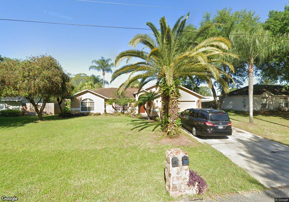
This home is located at 7210 Bevil Ave Unit 7, Cocoa, FL 32927 and is currently estimated at $312,357, approximately $205 per square foot. 7210 Bevil Ave Unit 7 is a home located in Brevard County with nearby schools including Enterprise Elementary School, Space Coast Junior/Senior High School, and Sculptor Charter School.
Ownership History
Date
Name
Owned For
Owner Type
Purchase Details
Closed on
Oct 11, 2023
Sold by
Owens Chrissie A
Bought by
Owens Melissa and Bean James
Current Estimated Value
Home Financials for this Owner
Home Financials are based on the most recent Mortgage that was taken out on this home.
Original Mortgage
$332,977
Outstanding Balance
$325,284
Interest Rate
7.18%
Mortgage Type
FHA
Estimated Equity
-$12,927
Create a Home Valuation Report for This Property
The Home Valuation Report is an in-depth analysis detailing your home's value as well as a comparison with similar homes in the area
Home Values in the Area
Average Home Value in this Area
Purchase History
| Date | Buyer | Sale Price | Title Company |
|---|---|---|---|
| Owens Melissa | $266,400 | First Class Title |
Source: Public Records
Mortgage History
| Date | Status | Borrower | Loan Amount |
|---|---|---|---|
| Open | Owens Melissa | $332,977 |
Source: Public Records
Tax History
| Year | Tax Paid | Tax Assessment Tax Assessment Total Assessment is a certain percentage of the fair market value that is determined by local assessors to be the total taxable value of land and additions on the property. | Land | Improvement |
|---|---|---|---|---|
| 2025 | $3,800 | $250,790 | -- | -- |
| 2024 | $3,415 | $253,250 | -- | -- |
| 2023 | $3,415 | $246,470 | $52,000 | $194,470 |
| 2022 | $3,080 | $233,070 | $0 | $0 |
| 2021 | $2,822 | $180,520 | $42,000 | $138,520 |
| 2020 | $2,594 | $161,870 | $40,000 | $121,870 |
| 2019 | $2,459 | $155,400 | $35,000 | $120,400 |
| 2018 | $2,331 | $141,730 | $27,000 | $114,730 |
| 2017 | $2,221 | $128,140 | $24,000 | $104,140 |
| 2016 | $2,090 | $110,940 | $18,000 | $92,940 |
| 2015 | $1,992 | $88,890 | $15,000 | $73,890 |
| 2014 | $1,823 | $80,810 | $11,000 | $69,810 |
Source: Public Records
Map
Nearby Homes
- 7200 Oakwood Ave
- 7368 Crepe Myrtle Ct
- 7230 Venus Ave
- 7419 Hackberry Rd
- 7429 Hackberry Rd
- 7635 Fringe Place
- 7606 Fringe Place
- 5680 Brandon St
- 7065 Hundred Acre Dr
- 6990 Bryant Rd
- 5555 Brandon St
- 5303 Yaupon Holly Dr
- 5242 Yaupon Holly Dr
- 5165 Patricia St
- 5150 Melody St
- 5155 Mayflower St
- 6815 Bryant Rd
- 5200 Frisco St
- 5080 Mayflower St
- 6760 Cairo Rd
- 7210 Bevil Ave
- 7220 Bevil Ave
- 7200 Bevil Ave
- 7215 Milton Ave
- 7205 Milton Ave
- 7230 Bevil Ave
- 7190 Bevil Ave
- 7215 Bevil Ave
- 7235 Milton Ave Unit 7
- 7235 Milton Ave
- 7225 Bevil Ave
- 7235 Bevil Ave
- 7180 Bevil Ave
- 7195 Bevil Ave
- 5645 Friendly St
- 7150 Milton Ave
- 5655 Friendly
- 5655 Friendly St
- 5665 Friendly St
- 7210 Oakwood Ave
Your Personal Tour Guide
Ask me questions while you tour the home.