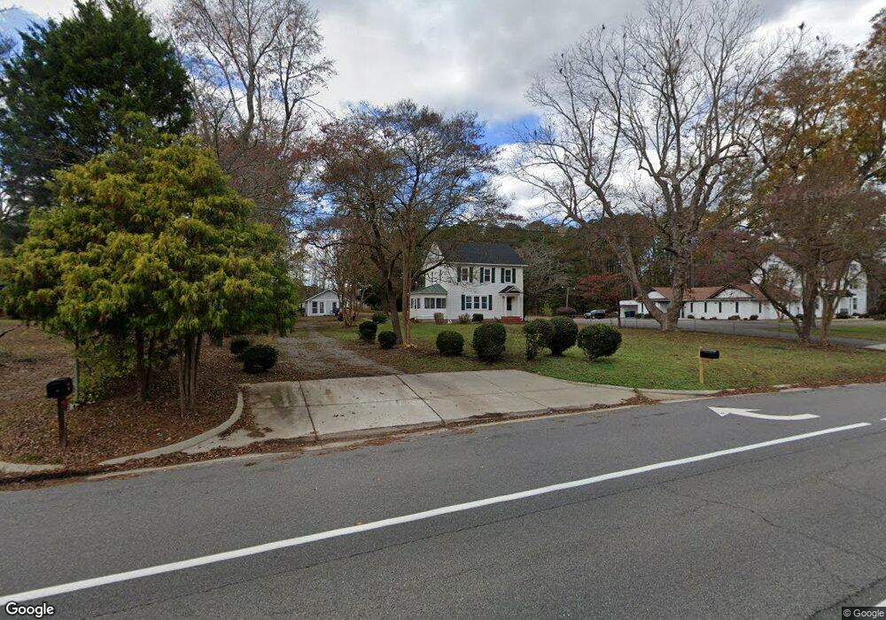
7210 Main St Gloucester, VA 23061
Estimated Value: $281,000 - $393,000
4
Beds
2
Baths
1,680
Sq Ft
$204/Sq Ft
Est. Value
About This Home
This home is located at 7210 Main St, Gloucester, VA 23061 and is currently estimated at $343,255, approximately $204 per square foot. 7210 Main St is a home located in Gloucester County with nearby schools including Botetourt Elementary School, Page Middle School, and Gloucester High School.
Ownership History
Date
Name
Owned For
Owner Type
Purchase Details
Closed on
Sep 4, 2024
Sold by
William D Fary Revocable Living Trust and Fary Timothy C
Bought by
Beckley David L and Beckley Carolyn B
Current Estimated Value
Home Financials for this Owner
Home Financials are based on the most recent Mortgage that was taken out on this home.
Original Mortgage
$261,000
Outstanding Balance
$257,182
Interest Rate
5.5%
Mortgage Type
New Conventional
Estimated Equity
$86,073
Create a Home Valuation Report for This Property
The Home Valuation Report is an in-depth analysis detailing your home's value as well as a comparison with similar homes in the area
Home Values in the Area
Average Home Value in this Area
Purchase History
| Date | Buyer | Sale Price | Title Company |
|---|---|---|---|
| Beckley David L | $290,000 | Old Republic National Title In |
Source: Public Records
Mortgage History
| Date | Status | Borrower | Loan Amount |
|---|---|---|---|
| Open | Beckley David L | $261,000 |
Source: Public Records
Tax History
| Year | Tax Paid | Tax Assessment Tax Assessment Total Assessment is a certain percentage of the fair market value that is determined by local assessors to be the total taxable value of land and additions on the property. | Land | Improvement |
|---|---|---|---|---|
| 2025 | $2,109 | $343,520 | $108,000 | $235,520 |
| 2024 | $2,109 | $322,290 | $131,250 | $191,040 |
| 2023 | $1,879 | $322,290 | $131,250 | $191,040 |
| 2022 | $1,872 | $258,240 | $138,850 | $119,390 |
| 2021 | $1,795 | $258,240 | $138,850 | $119,390 |
| 2020 | $1,795 | $258,240 | $138,850 | $119,390 |
| 2019 | $1,795 | $258,320 | $144,710 | $113,610 |
| 2017 | $1,795 | $258,320 | $144,710 | $113,610 |
| 2016 | $1,846 | $265,640 | $144,710 | $120,930 |
| 2015 | $1,806 | $227,400 | $88,800 | $138,600 |
| 2014 | $1,478 | $227,400 | $88,800 | $138,600 |
Source: Public Records
Map
Nearby Homes
- 6887 Healy Ave
- 6915 Healy Ave
- 6876 Motley Landing Dr
- 00 Mill Ln
- 1.97ac Mill Ln
- 7218 Clements Ave
- 6754 Mann Ave
- 0.28AC Oak St
- 13+ac George Washington Memorial Hwy
- 6392 Main St
- 6223 Ruth Dr
- 6330 Kelly's Place
- 6274 Old Gloucester Way
- Lot 12 Kelly's Place
- Lot 8 Kelly's Place
- 0000 T C Walker Rd
- 6319 Kellys Place
- LOT 12 Kellys Place
- Lot 14 Gary Ct
- 6467 Fleming Rilee Ln
- LOT 8 Healy Ave
- LOT 20 Healy Ave
- 7226 Main St
- 6891 Healy Ave
- 6895 Healy Ave
- 6899 Healy Ave
- 7176 Main St
- 6907 Healy Ave
- 6886 Healy Ave
- 6909 Healy Ave
- 6890 Healy Ave
- 6896 Healy Ave
- 6900 Healy Ave
- 7166 Main St
- 6906 Healy Ave
- 6790 Wood Ridge Dr
- 6887 Enfield Rd
- 6910 Healy Ave
- 6817 Enfield Rd
- 6927 Healy Ave
Your Personal Tour Guide
Ask me questions while you tour the home.