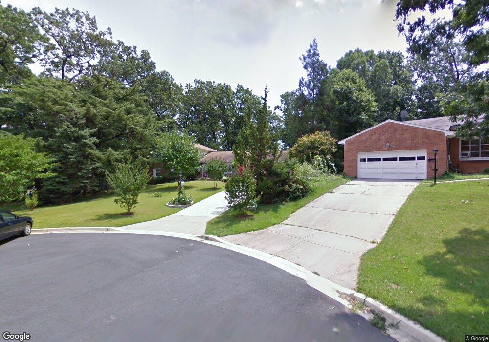
7210 Martins Ct Lanham, MD 20706
Estimated Value: $495,074 - $547,000
Studio
3
Baths
2,198
Sq Ft
$233/Sq Ft
Est. Value
About This Home
This home is located at 7210 Martins Ct, Lanham, MD 20706 and is currently estimated at $511,519, approximately $232 per square foot. 7210 Martins Ct is a home located in Prince George's County with nearby schools including Glenridge Elementary School, Charles Carroll Middle School, and Parkdale High School.
Ownership History
Date
Name
Owned For
Owner Type
Purchase Details
Closed on
Dec 5, 2005
Sold by
Froe Arthur J
Bought by
Fuentes Arnulfo A and Fuentes Edith D
Current Estimated Value
Home Financials for this Owner
Home Financials are based on the most recent Mortgage that was taken out on this home.
Original Mortgage
$345,345
Outstanding Balance
$185,077
Interest Rate
5.78%
Mortgage Type
New Conventional
Estimated Equity
$326,442
Purchase Details
Closed on
Apr 28, 1989
Sold by
Lynch Isidore E
Bought by
Froe Arthur J and Froe Anita T
Create a Home Valuation Report for This Property
The Home Valuation Report is an in-depth analysis detailing your home's value as well as a comparison with similar homes in the area
Home Values in the Area
Average Home Value in this Area
Purchase History
| Date | Buyer | Sale Price | Title Company |
|---|---|---|---|
| Fuentes Arnulfo A | $448,500 | -- | |
| Froe Arthur J | $170,000 | -- |
Source: Public Records
Mortgage History
| Date | Status | Borrower | Loan Amount |
|---|---|---|---|
| Open | Fuentes Arnulfo A | $345,345 | |
| Closed | Fuentes Arnulfo A | $44,850 |
Source: Public Records
Tax History
| Year | Tax Paid | Tax Assessment Tax Assessment Total Assessment is a certain percentage of the fair market value that is determined by local assessors to be the total taxable value of land and additions on the property. | Land | Improvement |
|---|---|---|---|---|
| 2025 | $6,378 | $405,667 | -- | -- |
| 2024 | $6,378 | $402,333 | -- | -- |
| 2023 | $6,327 | $399,000 | $73,000 | $326,000 |
| 2022 | $6,132 | $385,900 | $0 | $0 |
| 2021 | $5,938 | $372,800 | $0 | $0 |
| 2020 | $5,743 | $359,700 | $71,500 | $288,200 |
| 2019 | $5,358 | $333,767 | $0 | $0 |
| 2018 | $4,972 | $307,833 | $0 | $0 |
| 2017 | $4,587 | $281,900 | $0 | $0 |
| 2016 | -- | $272,667 | $0 | $0 |
| 2015 | $5,317 | $263,433 | $0 | $0 |
| 2014 | $5,317 | $254,200 | $0 | $0 |
Source: Public Records
Map
Nearby Homes
- 7303 Lois Ln
- 7109 Lois Ln
- 5821 Mentana St
- 5808 Nystrom St
- 8124 Gavin St
- 6241 Westbrook Dr
- 7609 Powhatan St
- 7314 Powhatan St
- 8345 Verona Dr
- 8300 Larchwood St
- 6804 Zook Place
- 6508 Jodie St
- 5540 Karen Elaine Dr Unit 1641
- 6700 6700 1st St
- 7404 Jodie Ct
- 7421 Hendricks Dr
- 6511 Rosalie Ln
- 6702 1st St
- 7510 Ingraham St
- 8314 Nicholson St
Your Personal Tour Guide
Ask me questions while you tour the home.