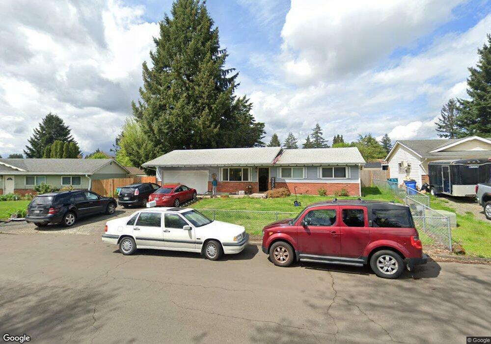
7210 NE 129th Ave Vancouver, WA 98682
Orchards Area NeighborhoodEstimated Value: $410,859 - $420,000
3
Beds
2
Baths
988
Sq Ft
$420/Sq Ft
Est. Value
About This Home
This home is located at 7210 NE 129th Ave, Vancouver, WA 98682 and is currently estimated at $414,965, approximately $420 per square foot. 7210 NE 129th Ave is a home located in Clark County with nearby schools including Sifton Elementary School, Covington Middle School, and Heritage High School.
Ownership History
Date
Name
Owned For
Owner Type
Purchase Details
Closed on
Mar 15, 2005
Sold by
Strode Geraldine L
Bought by
Allred Strode Crystal R
Current Estimated Value
Home Financials for this Owner
Home Financials are based on the most recent Mortgage that was taken out on this home.
Original Mortgage
$120,000
Interest Rate
5.53%
Mortgage Type
New Conventional
Create a Home Valuation Report for This Property
The Home Valuation Report is an in-depth analysis detailing your home's value as well as a comparison with similar homes in the area
Home Values in the Area
Average Home Value in this Area
Purchase History
| Date | Buyer | Sale Price | Title Company |
|---|---|---|---|
| Allred Strode Crystal R | -- | Chicago Title Insurance |
Source: Public Records
Mortgage History
| Date | Status | Borrower | Loan Amount |
|---|---|---|---|
| Closed | Allred Strode Crystal R | $120,000 |
Source: Public Records
Tax History Compared to Growth
Tax History
| Year | Tax Paid | Tax Assessment Tax Assessment Total Assessment is a certain percentage of the fair market value that is determined by local assessors to be the total taxable value of land and additions on the property. | Land | Improvement |
|---|---|---|---|---|
| 2025 | $3,580 | $360,946 | $188,500 | $172,446 |
| 2024 | $3,583 | $350,438 | $188,500 | $161,938 |
| 2023 | $3,554 | $369,182 | $194,300 | $174,882 |
| 2022 | $3,243 | $360,625 | $194,300 | $166,325 |
| 2021 | $3,006 | $306,361 | $165,300 | $141,061 |
| 2020 | $2,818 | $267,004 | $145,000 | $122,004 |
| 2019 | $2,509 | $251,116 | $128,700 | $122,416 |
| 2018 | $2,733 | $241,020 | $0 | $0 |
| 2017 | $2,352 | $211,505 | $0 | $0 |
| 2016 | $2,241 | $189,362 | $0 | $0 |
| 2015 | $2,130 | $167,935 | $0 | $0 |
| 2014 | -- | $151,722 | $0 | $0 |
| 2013 | -- | $129,148 | $0 | $0 |
Source: Public Records
Map
Nearby Homes
- 6912 NE 131st Ave Unit 10
- 12707 NE 76th St
- 13012 NE 76th St
- 13605 NE 72nd St
- 11025 NE 137th Ave
- 0 NE 137th Ave
- 13001 NE 83rd St
- 12801 NE 83rd St
- 13713 NE 64th Cir
- 8605 NE 136th Ave Unit 135
- 13329 NE 83rd Way
- 13216 NE 59th St Unit 25
- 13216 NE 59th St Unit 34
- 13216 NE 59th St Unit 24
- The 2038 Plan at Stone's Throw
- The 1520 Plan at Stone's Throw
- The 2260 Plan at Stone's Throw
- The 1594 Plan at Stone's Throw
- The 1315 Plan at Stone's Throw
- The 1670 Plan at Stone's Throw
- 7216 NE 129th Ave
- 12814 NE 71st St
- 7204 NE 129th Ave
- 7213 NE 128th Ave
- 7217 NE 128th Ave
- 7222 NE 129th Ave
- 7205 NE 128th Ave
- 7221 NE 128th Ave
- 7209 NE 129th Ave
- 7215 NE 129th Ave
- 7221 NE 129th Ave
- 7226 NE 129th Ave
- 12900 NE 71st St
- 7225 NE 128th Ave
- 7225 NE 129th Ave
- 12815 NE 71st St
- 7210 NE 128th Ave
- 7216 NE 128th Ave
- 7018 NE 129th Ave
- 7220 NE 130th Ave