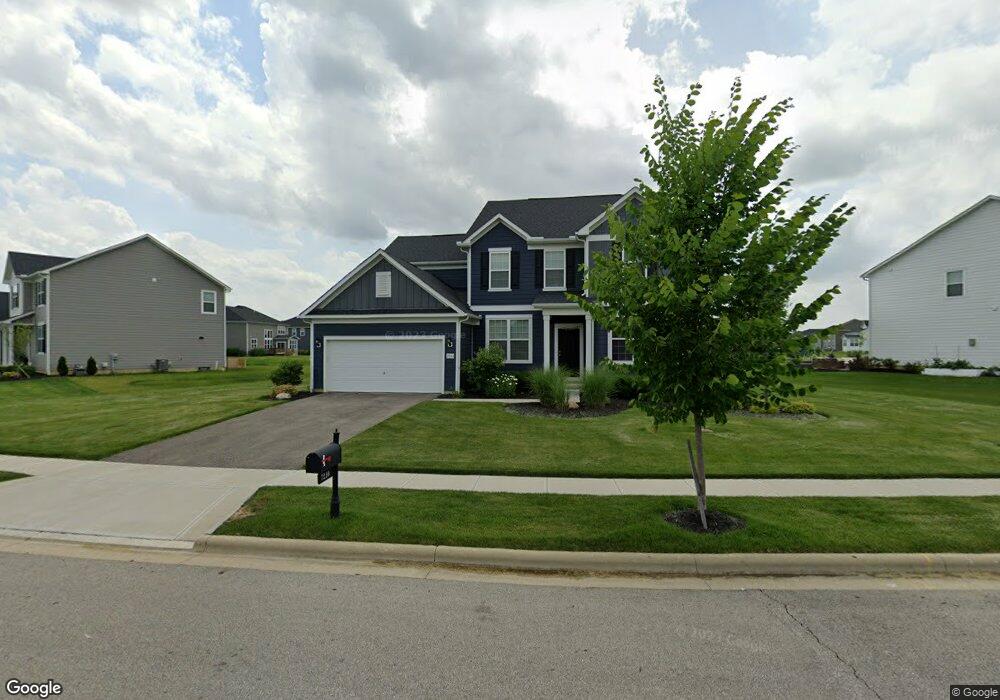
7210 White Cap Dr Powell, OH 43065
Liberty Township NeighborhoodEstimated Value: $703,728 - $772,000
5
Beds
4
Baths
3,312
Sq Ft
$219/Sq Ft
Est. Value
About This Home
This home is located at 7210 White Cap Dr, Powell, OH 43065 and is currently estimated at $726,432, approximately $219 per square foot. 7210 White Cap Dr is a home with nearby schools including Liberty Tree Elementary School, Hyatts Middle School, and Olentangy Berlin High School.
Ownership History
Date
Name
Owned For
Owner Type
Purchase Details
Closed on
Feb 22, 2019
Sold by
Pulte Homes Of Ohio Llc
Bought by
Kallambettu Veena and Bhat Rohit
Current Estimated Value
Home Financials for this Owner
Home Financials are based on the most recent Mortgage that was taken out on this home.
Original Mortgage
$352,690
Outstanding Balance
$309,445
Interest Rate
4.4%
Mortgage Type
New Conventional
Estimated Equity
$416,987
Create a Home Valuation Report for This Property
The Home Valuation Report is an in-depth analysis detailing your home's value as well as a comparison with similar homes in the area
Home Values in the Area
Average Home Value in this Area
Purchase History
| Date | Buyer | Sale Price | Title Company |
|---|---|---|---|
| Kallambettu Veena | $415,000 | Pgp Title |
Source: Public Records
Mortgage History
| Date | Status | Borrower | Loan Amount |
|---|---|---|---|
| Open | Kallambettu Veena | $352,690 |
Source: Public Records
Tax History Compared to Growth
Tax History
| Year | Tax Paid | Tax Assessment Tax Assessment Total Assessment is a certain percentage of the fair market value that is determined by local assessors to be the total taxable value of land and additions on the property. | Land | Improvement |
|---|---|---|---|---|
| 2024 | $10,606 | $196,630 | $39,900 | $156,730 |
| 2023 | $10,646 | $196,630 | $39,900 | $156,730 |
| 2022 | $9,521 | $138,950 | $29,750 | $109,200 |
| 2021 | $9,578 | $138,950 | $29,750 | $109,200 |
| 2020 | $9,735 | $138,950 | $29,750 | $109,200 |
| 2019 | $8,367 | $120,750 | $29,750 | $91,000 |
| 2018 | $2,078 | $26,780 | $26,780 | $0 |
| 2017 | $1,030 | $7,530 | $7,530 | $0 |
| 2016 | $834 | $7,530 | $7,530 | $0 |
Source: Public Records
Map
Nearby Homes
- 0 Home Rd Unit 224041180
- 2377 Home Rd
- 3143 Rossmore Cir
- 3296 Home Rd
- 6505 Longview Dr
- 2497 Nelson Ln
- 7495 Bridlespur Ln
- 7030 Kinsale Ln
- 2000 Forestview Ln
- Castleton Plan at Nelson Farms
- Allison II Plan at Nelson Farms
- Deer Valley Plan at Nelson Farms
- Woodside Plan at Nelson Farms
- Melrose Plan at Nelson Farms
- Willwood Plan at Nelson Farms
- Maple Valley Plan at Nelson Farms
- 1998 Shale Run Dr
- 2521 Rangeland Dr Unit Lot 7090
- 2537 Rangeland Dr Unit Lot 7091
- 0 Home Rd Unit 225042181
- 5784 Whitecap Dr
- 5788 Whitecap Dr
- 7234 Whitecap Dr
- Lot 5680 Schoen Lake Dr
- 2575 Schoen Lake Dr
- 7205 Roche Ct
- 7256 White Cap Dr
- 2603 Schoen Lake Dr
- 2578 Schoen Lake Dr
- 7272 Whitecap Dr Unit Lot 5676
- 7272 Whitecap Dr
- 7217 Roche Ct
- 2590 Schoen Lake Dr
- 2625 Schoen Lake Dr
- 7290 Whitecap Dr Unit Lot 5675
- 2600 Schoen Lake Dr
- 2620 Schoen Lake Dr
- 7210 Roche Ct
- 7308 Whitecap Dr
- 7200 Roche Ct