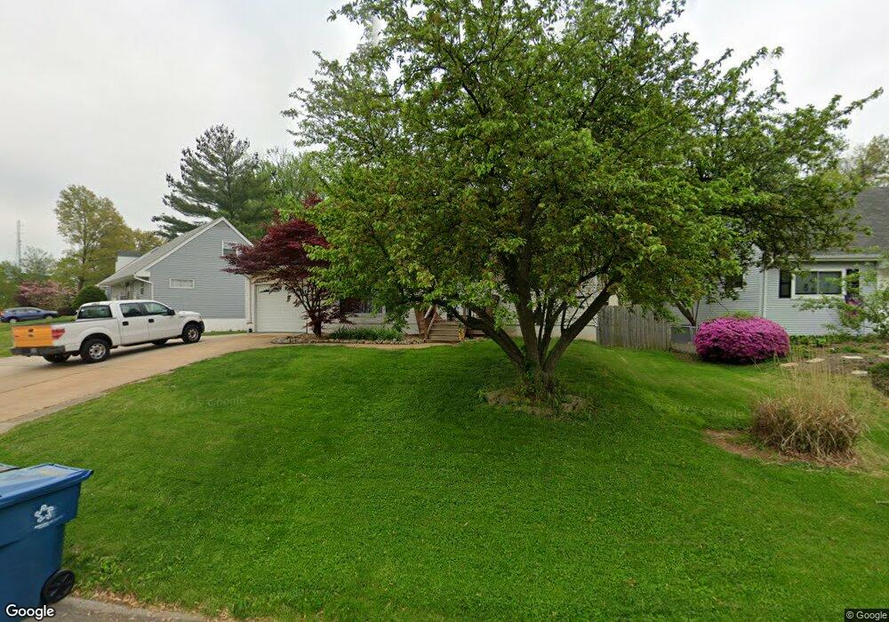
7212 General Sherman Ln Saint Louis, MO 63123
Estimated Value: $295,000 - $375,000
3
Beds
4
Baths
1,603
Sq Ft
$199/Sq Ft
Est. Value
About This Home
This home is located at 7212 General Sherman Ln, Saint Louis, MO 63123 and is currently estimated at $319,008, approximately $199 per square foot. 7212 General Sherman Ln is a home located in St. Louis County with nearby schools including Mesnier Primary School, Gotsch Intermediate School, and Rogers Middle School.
Ownership History
Date
Name
Owned For
Owner Type
Purchase Details
Closed on
Jun 18, 1999
Sold by
Morton Sharon
Bought by
Jochens Richard D and Jochens Jennifer A
Current Estimated Value
Home Financials for this Owner
Home Financials are based on the most recent Mortgage that was taken out on this home.
Original Mortgage
$117,650
Outstanding Balance
$31,540
Interest Rate
7.25%
Estimated Equity
$287,468
Purchase Details
Closed on
Jun 10, 1999
Sold by
Sims Michael E
Bought by
Sims Ltd Partnership
Home Financials for this Owner
Home Financials are based on the most recent Mortgage that was taken out on this home.
Original Mortgage
$117,650
Outstanding Balance
$31,540
Interest Rate
7.25%
Estimated Equity
$287,468
Purchase Details
Closed on
Oct 3, 1997
Sold by
Grein John L and Grein Kathleen
Bought by
Morton Sharon
Create a Home Valuation Report for This Property
The Home Valuation Report is an in-depth analysis detailing your home's value as well as a comparison with similar homes in the area
Home Values in the Area
Average Home Value in this Area
Purchase History
| Date | Buyer | Sale Price | Title Company |
|---|---|---|---|
| Jochens Richard D | $116,300 | -- | |
| Sims Ltd Partnership | -- | -- | |
| Morton Sharon | -- | -- |
Source: Public Records
Mortgage History
| Date | Status | Borrower | Loan Amount |
|---|---|---|---|
| Open | Jochens Richard D | $117,650 |
Source: Public Records
Tax History Compared to Growth
Tax History
| Year | Tax Paid | Tax Assessment Tax Assessment Total Assessment is a certain percentage of the fair market value that is determined by local assessors to be the total taxable value of land and additions on the property. | Land | Improvement |
|---|---|---|---|---|
| 2025 | $3,816 | $51,410 | $15,180 | $36,230 |
| 2024 | $3,816 | $47,120 | $10,130 | $36,990 |
| 2023 | $3,690 | $47,120 | $10,130 | $36,990 |
| 2022 | $3,188 | $37,050 | $11,130 | $25,920 |
| 2021 | $3,115 | $39,990 | $11,130 | $28,860 |
| 2020 | $3,212 | $35,660 | $9,800 | $25,860 |
| 2019 | $3,185 | $35,660 | $9,800 | $25,860 |
| 2018 | $2,882 | $28,500 | $6,840 | $21,660 |
| 2017 | $2,864 | $28,500 | $6,840 | $21,660 |
| 2016 | $2,672 | $28,270 | $5,130 | $23,140 |
| 2015 | $2,680 | $28,270 | $5,130 | $23,140 |
| 2014 | -- | $26,560 | $6,630 | $19,930 |
Source: Public Records
Map
Nearby Homes
- 7243 General Sherman Ln
- 7101 Fernbrook Dr
- 7123 Craighill Dr
- 8405 Rockhaven Ln
- 8415 Rockhaven Ln
- 7452 Rockwood Dr
- 1405 Culverhill Dr
- 1118 S Laclede Station Rd
- 7936 Radnor Dr
- 8261 Watson Rd
- 739 Hurstgreen Rd
- 430 Cannonbury Dr
- 6540 Lawnside Dr
- 8853 Raleigh Dr
- 6843 Preservation Pkwy
- 6819 Preservation Pkwy
- 8875 Rock Forest Dr
- 6804 Snowy Owl Ln
- 7369 Whitehaven Dr
- 6738 Snowy Owl Ln
- 7206 General Sherman Ln
- 7220 General Sherman Ln
- 7200 General Sherman Ln
- 7235 Marlton Ln
- 7231 Marlton Ln
- 7226 General Sherman Ln
- 7221 General Sherman Ln
- 7239 Marlton Ln
- 7213 General Sherman Ln
- 7207 General Sherman Ln
- 7225 Marlton Ln
- 7217 General Sherman Ln
- 7150 General Sherman Ln
- 7232 General Sherman Ln
- 7225 General Sherman Ln
- 7231 General Sherman Ln
- 7201 General Sherman Ln
- 7243 Marlton Ln
- 7219 Marlton Ln
- 7237 General Sherman Ln