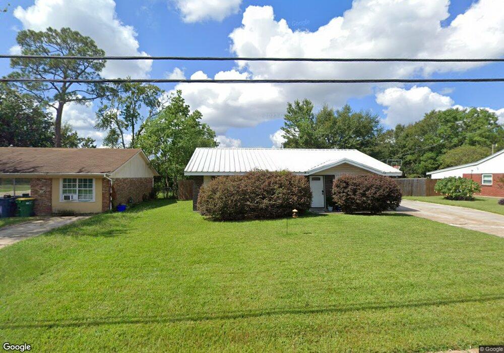
7213 Denver Dr Biloxi, MS 39532
Estimated Value: $146,241 - $163,000
--
Bed
2
Baths
1,200
Sq Ft
$129/Sq Ft
Est. Value
About This Home
This home is located at 7213 Denver Dr, Biloxi, MS 39532 and is currently estimated at $155,310, approximately $129 per square foot. 7213 Denver Dr is a home located in Jackson County with nearby schools including St Martin North Elementary School, St Martin East Elementary School, and St Martin Upper Elementary School.
Ownership History
Date
Name
Owned For
Owner Type
Purchase Details
Closed on
Jul 16, 2025
Sold by
Oaks Brandon J and Oaks Amanda F
Bought by
Martin Barbara Anne
Current Estimated Value
Home Financials for this Owner
Home Financials are based on the most recent Mortgage that was taken out on this home.
Original Mortgage
$10,000
Outstanding Balance
$8,068
Interest Rate
6.85%
Mortgage Type
New Conventional
Estimated Equity
$147,242
Purchase Details
Closed on
Nov 30, 2009
Sold by
Oaks Billy M
Bought by
Oaks Brandon J and Oaks Amanda F
Home Financials for this Owner
Home Financials are based on the most recent Mortgage that was taken out on this home.
Original Mortgage
$50,111
Interest Rate
5.01%
Mortgage Type
Purchase Money Mortgage
Create a Home Valuation Report for This Property
The Home Valuation Report is an in-depth analysis detailing your home's value as well as a comparison with similar homes in the area
Home Values in the Area
Average Home Value in this Area
Purchase History
| Date | Buyer | Sale Price | Title Company |
|---|---|---|---|
| Martin Barbara Anne | -- | None Listed On Document | |
| Oaks Brandon J | -- | -- |
Source: Public Records
Mortgage History
| Date | Status | Borrower | Loan Amount |
|---|---|---|---|
| Open | Martin Barbara Anne | $10,000 | |
| Open | Martin Barbara Anne | $150,228 | |
| Previous Owner | Oaks Brandon J | $50,111 |
Source: Public Records
Tax History Compared to Growth
Tax History
| Year | Tax Paid | Tax Assessment Tax Assessment Total Assessment is a certain percentage of the fair market value that is determined by local assessors to be the total taxable value of land and additions on the property. | Land | Improvement |
|---|---|---|---|---|
| 2024 | $1,137 | $9,329 | $2,237 | $7,092 |
| 2023 | $1,137 | $9,329 | $2,237 | $7,092 |
| 2022 | $1,106 | $9,329 | $2,237 | $7,092 |
| 2021 | $1,117 | $9,418 | $2,237 | $7,181 |
| 2020 | $963 | $7,814 | $2,237 | $5,577 |
| 2019 | $953 | $7,814 | $2,237 | $5,577 |
| 2018 | $971 | $7,814 | $2,237 | $5,577 |
| 2017 | $987 | $7,814 | $2,237 | $5,577 |
| 2016 | $949 | $7,814 | $2,237 | $5,577 |
| 2015 | $881 | $48,100 | $14,910 | $33,190 |
| 2014 | $379 | $4,810 | $1,491 | $3,319 |
| 2013 | $360 | $4,810 | $1,491 | $3,319 |
Source: Public Records
Map
Nearby Homes
- 7204 Hampton Dr
- 7112 Melon Dr
- 15917 Big Ridge Rd
- 15601 Big Ridge Rd
- 15905 Waycross Dr
- 16029 Cherry Dr
- 7646 Madison Dr
- 7650 Lexington Dr
- 7116 Knollwood Dr
- 0 Yuma Ave
- 16205 Waycross Dr
- 6611 Omaha St
- 6720 Tunica Rd
- 15409 Sequoia Ave
- 7400 Kentwood Dr
- 16005 Lemoyne Blvd
- Nhn Lemoyne Blvd
- 16317 Lemoyne Blvd
- 16301 Trenton Dr
- 16005 Peach Tree Dr
- 7209 Denver Dr
- 7217 Denver Dr
- 7205 Denver Dr
- 7221 Denver Dr
- 7417 Oak Cove Dr
- 7208 Denver Dr
- 7212 Denver Dr
- 7204 Denver Dr
- 7216 Denver Dr
- 7201 Denver Dr
- 7413 Oak Cove Dr
- 15803 Belmont Dr
- 7501 Oak Cove Dr
- 7409 Oak Cove Dr
- 7220 Denver Dr
- 15708 Kingston Dr
- 15801 Belmont Dr
- 15805 Belmont Dr
- 7224 Denver Dr
- 7505 Oak Cove Dr