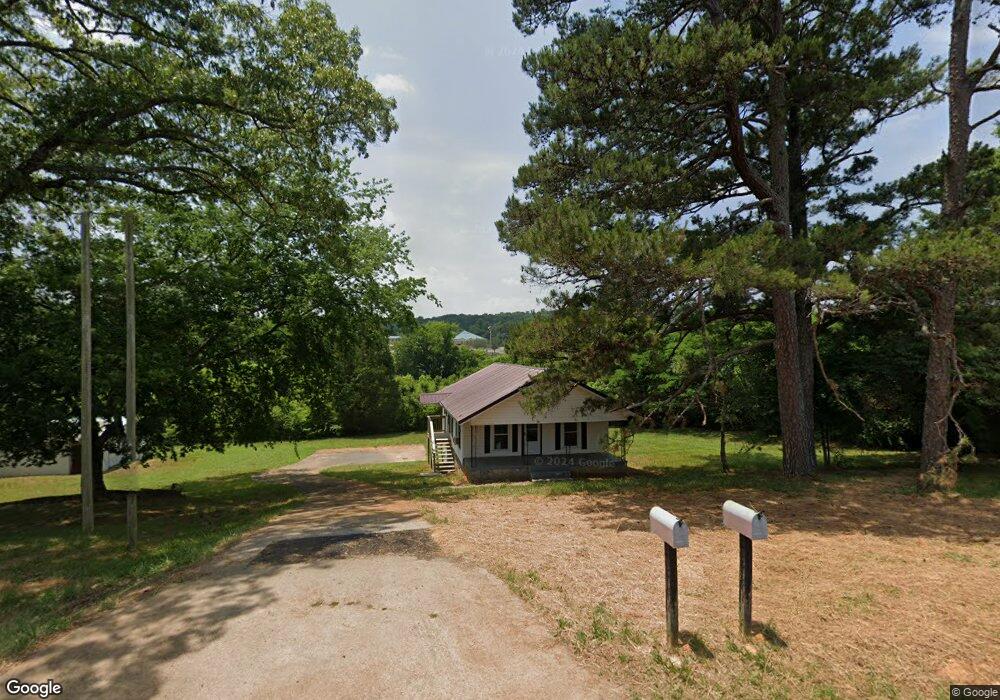
7215 N Highway 27 Rock Spring, GA 30739
Rock Spring NeighborhoodEstimated Value: $120,000 - $194,000
--
Bed
1
Bath
884
Sq Ft
$182/Sq Ft
Est. Value
About This Home
This home is located at 7215 N Highway 27, Rock Spring, GA 30739 and is currently estimated at $160,461, approximately $181 per square foot. 7215 N Highway 27 is a home located in Walker County with nearby schools including Rock Spring Elementary School, Lafayette High School, and Alice M Daley Adventist School.
Ownership History
Date
Name
Owned For
Owner Type
Purchase Details
Closed on
Dec 28, 2006
Sold by
Peters Judith Gayle
Bought by
Parker Anita L
Current Estimated Value
Purchase Details
Closed on
Sep 18, 1998
Sold by
Cheek Cheek J and Cheek Opal
Bought by
Peters Judith Gayle
Purchase Details
Closed on
Mar 18, 1988
Sold by
Wells Emma B Mrs
Bought by
Cheek Cheek J and Cheek Opal
Purchase Details
Closed on
Oct 20, 1975
Sold by
Chapman Joe
Bought by
Wells Emma B Mrs
Purchase Details
Closed on
Jan 1, 1972
Bought by
Hershel T Bowman
Create a Home Valuation Report for This Property
The Home Valuation Report is an in-depth analysis detailing your home's value as well as a comparison with similar homes in the area
Home Values in the Area
Average Home Value in this Area
Purchase History
| Date | Buyer | Sale Price | Title Company |
|---|---|---|---|
| Parker Anita L | -- | -- | |
| Peters Judith Gayle | -- | -- | |
| Cheek Cheek J | $25,000 | -- | |
| Wells Emma B Mrs | -- | -- | |
| Hershel T Bowman | -- | -- | |
| Chapman Joe | -- | -- |
Source: Public Records
Tax History Compared to Growth
Tax History
| Year | Tax Paid | Tax Assessment Tax Assessment Total Assessment is a certain percentage of the fair market value that is determined by local assessors to be the total taxable value of land and additions on the property. | Land | Improvement |
|---|---|---|---|---|
| 2024 | $909 | $38,622 | $6,858 | $31,764 |
| 2023 | $865 | $35,733 | $5,443 | $30,290 |
| 2022 | $784 | $29,882 | $3,982 | $25,900 |
| 2021 | $605 | $20,026 | $3,982 | $16,044 |
| 2020 | $561 | $17,654 | $3,982 | $13,672 |
| 2019 | $571 | $17,654 | $3,982 | $13,672 |
| 2018 | $467 | $17,654 | $3,982 | $13,672 |
| 2017 | $619 | $17,654 | $3,982 | $13,672 |
| 2016 | $562 | $17,654 | $3,982 | $13,672 |
| 2015 | $568 | $16,830 | $3,948 | $12,882 |
| 2014 | $490 | $16,830 | $3,948 | $12,882 |
| 2013 | -- | $16,830 | $3,948 | $12,882 |
Source: Public Records
Map
Nearby Homes
- 10180 Us Highway 27
- 1003 Highway N Old 27
- 1370 Old Highway 27
- 5602 Georgia 95
- 00 Georgia 95
- 701 Bicentennial Trail
- 15 Willow Cir
- 23 Willow Cir
- 16 Willow Cir
- 11 Willow Cir
- The Pearson Plan at Laurel Ridge
- The Benson II Plan at Laurel Ridge
- The Langford Plan at Laurel Ridge
- The Lawson Plan at Laurel Ridge
- The Piedmont Plan at Laurel Ridge
- The Coleman Plan at Laurel Ridge
- The McGinnis Plan at Laurel Ridge
- The Caldwell Plan at Laurel Ridge
- 1476 Us Highway 27
- 10161 Us Highway 27
- 17 Us Highway 27
- 0 Us Highway 27
- 7154 N Highway 27
- 7142 N Highway 27
- 7092 Us Highway 27
- 7092 N Highway 27
- 00 Bicentennial Trail
- 238 Graham Cir
- 0 Bicentennial Trail Unit 10519258
- 0 Bicentennial Trail Unit 7577111
- 0 Bicentennial Trail Unit 20074476
- 0 Bicentennial Trail Unit 10449930
- 0 Bicentennial Trail Unit 7514332
- 0 Bicentennial Trail Unit 1368071
- 0 Bicentennial Trail Unit 1321874
- 0 Bicentennial Trail Unit 1236454
- 0 Bicentennial Trail Unit 925745
- 0 Bicentennial Trail Unit 1352735