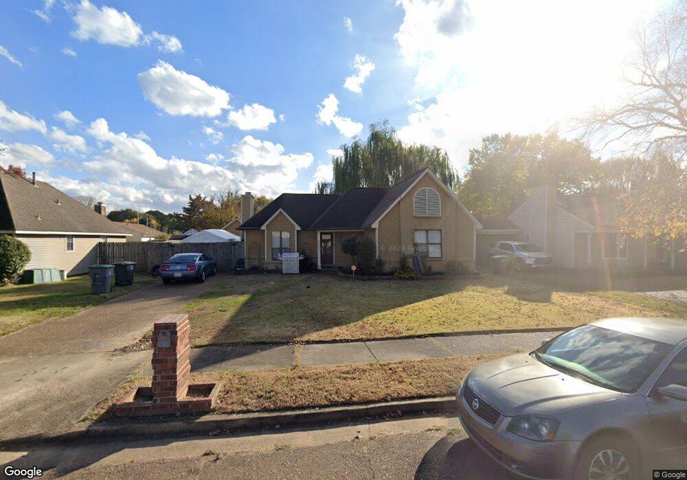
7215 Ransdorp Dr Memphis, TN 38133
Estimated Value: $183,000 - $212,000
3
Beds
2
Baths
1,284
Sq Ft
$156/Sq Ft
Est. Value
About This Home
This home is located at 7215 Ransdorp Dr, Memphis, TN 38133 and is currently estimated at $200,240, approximately $155 per square foot. 7215 Ransdorp Dr is a home located in Shelby County with nearby schools including Kate Bond Elementary School, Kate Bond Middle School, and Cordova High School.
Ownership History
Date
Name
Owned For
Owner Type
Purchase Details
Closed on
Sep 14, 2001
Sold by
Boyd V Wayne and Boyd Sherry W
Bought by
Brown Jason L and Brown Buffy N
Current Estimated Value
Home Financials for this Owner
Home Financials are based on the most recent Mortgage that was taken out on this home.
Original Mortgage
$93,263
Interest Rate
6.89%
Mortgage Type
FHA
Purchase Details
Closed on
Nov 30, 2000
Sold by
Cox Steven L and Cox Kathy J
Bought by
Boyd V Wayne and Boyd Sherry W
Create a Home Valuation Report for This Property
The Home Valuation Report is an in-depth analysis detailing your home's value as well as a comparison with similar homes in the area
Home Values in the Area
Average Home Value in this Area
Purchase History
| Date | Buyer | Sale Price | Title Company |
|---|---|---|---|
| Brown Jason L | $94,000 | -- | |
| Boyd V Wayne | $59,325 | -- |
Source: Public Records
Mortgage History
| Date | Status | Borrower | Loan Amount |
|---|---|---|---|
| Previous Owner | Brown Jason L | $93,263 |
Source: Public Records
Tax History
| Year | Tax Paid | Tax Assessment Tax Assessment Total Assessment is a certain percentage of the fair market value that is determined by local assessors to be the total taxable value of land and additions on the property. | Land | Improvement |
|---|---|---|---|---|
| 2025 | $1,174 | $49,325 | $7,500 | $41,825 |
| 2024 | $1,174 | $34,625 | $5,200 | $29,425 |
| 2023 | $2,109 | $34,625 | $5,200 | $29,425 |
| 2022 | $2,109 | $34,625 | $5,200 | $29,425 |
| 2021 | $2,134 | $34,625 | $5,200 | $29,425 |
| 2020 | $1,574 | $21,725 | $5,200 | $16,525 |
| 2019 | $1,574 | $21,725 | $5,200 | $16,525 |
| 2018 | $1,574 | $21,725 | $5,200 | $16,525 |
| 2017 | $893 | $21,725 | $5,200 | $16,525 |
| 2016 | $874 | $20,000 | $0 | $0 |
| 2014 | $874 | $20,000 | $0 | $0 |
Source: Public Records
Map
Nearby Homes
- 2675 Van Leer Dr
- 7214 Country Side Rd
- 7065 Petten Dr
- 2739 Lakeside Dr
- 3053 Lauren Dr
- 6965 Debra Cove W
- 2595 Reese Point Dr
- 0 Appling Rd Unit 10214193
- 0 Appling Rd Unit 10214089
- 2547 Reese Lake Cir
- 3075 Tyler Cove
- 2495 Country Trail Dr
- 7551 Meadowland Dr
- 7503 Appling Estate Dr
- 6893 Talcott Ln
- 6918 Talcott Ln
- 2648 Appling Crest Dr
- 6884 Johnstown Ln
- 3180 Hedgemore Cove
- 3255 Oak Cove
- 7205 Ransdorp Dr
- 7221 Ransdorp Dr
- 2799 Dromedary Dr
- 7212 Volendam Cove
- 7204 Volendam Cove
- 7197 Ransdorp Dr
- 2793 Dromedary Dr
- 7212 Ransdorp Dr
- 7198 Volendam Cove
- 7206 Ransdorp Dr
- 7220 Ransdorp Dr
- 7196 Ransdorp Dr
- 7192 Volendam Cove
- 7190 Ransdorp Dr
- 7213 Volendam Cove
- 7221 Volendam Cove
- 7205 Volendam Cove
- 7184 Volendam Cove
- 7197 Volendam Cove