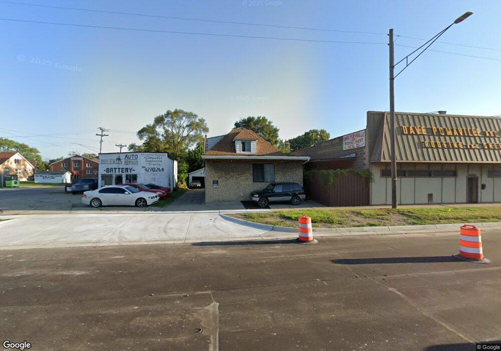
7217 E 8 Mile Rd Warren, MI 48091
Southwest Warren NeighborhoodEstimated Value: $140,000 - $189,000
Studio
2
Baths
1,682
Sq Ft
$92/Sq Ft
Est. Value
About This Home
This home is located at 7217 E 8 Mile Rd, Warren, MI 48091 and is currently estimated at $154,539, approximately $91 per square foot. 7217 E 8 Mile Rd is a home located in Macomb County with nearby schools including Lincoln Middle School, Lincoln High School, and Cornerstone Jefferson-Douglass Academy.
Ownership History
Date
Name
Owned For
Owner Type
Purchase Details
Closed on
May 30, 2023
Sold by
Squires Mary Lou
Bought by
Squires Matthew A and Squires Melissa
Current Estimated Value
Purchase Details
Closed on
Mar 15, 2016
Sold by
Squires Cornelius A and Squires Mary Lou
Bought by
Squires Cornelius A and Squires Mary Lou
Purchase Details
Closed on
Feb 4, 2016
Sold by
Squires Carolyn Gall and Kelly Aric Squires Trust
Bought by
Squires Cornelius A
Purchase Details
Closed on
Oct 14, 2015
Sold by
Squires Carolyn G
Bought by
Squires Corneluis A
Create a Home Valuation Report for This Property
The Home Valuation Report is an in-depth analysis detailing your home's value as well as a comparison with similar homes in the area
Home Values in the Area
Average Home Value in this Area
Purchase History
| Date | Buyer | Sale Price | Title Company |
|---|---|---|---|
| Squires Matthew A | -- | None Listed On Document | |
| Squires Matthew A | -- | None Listed On Document | |
| Squires Cornelius A | -- | Attorney | |
| Squires Cornelius A | -- | Attorney | |
| Squires Corneluis A | -- | None Available |
Source: Public Records
Tax History
| Year | Tax Paid | Tax Assessment Tax Assessment Total Assessment is a certain percentage of the fair market value that is determined by local assessors to be the total taxable value of land and additions on the property. | Land | Improvement |
|---|---|---|---|---|
| 2025 | $3,166 | $67,650 | $0 | $0 |
| 2024 | $42 | $59,360 | $0 | $0 |
| 2023 | $1,670 | $47,010 | $0 | $0 |
| 2022 | $1,636 | $42,110 | $0 | $0 |
| 2021 | $1,598 | $39,660 | $0 | $0 |
| 2020 | $1,562 | $35,890 | $0 | $0 |
| 2019 | $1,521 | $28,040 | $0 | $0 |
| 2018 | $1,502 | $20,550 | $0 | $0 |
| 2017 | $1,487 | $20,080 | $2,020 | $18,060 |
| 2016 | $1,475 | $20,080 | $0 | $0 |
| 2015 | -- | $20,100 | $0 | $0 |
| 2012 | -- | $19,080 | $0 | $0 |
Source: Public Records
Map
Nearby Homes
- 7084 Rivard Ave
- 20495 Packard St
- 7052 Rivard Ave
- 7244 Fisher Ave
- 7003 Rivard Ave
- 7029 Jackson Ave
- 20466 Spencer St
- 7643 Rivard Ave
- 20400 Packard St
- 20485 Helen St
- 7645 Fisher Ave
- 7624 Yacht Ave
- 7044 Westminster Ave
- 7560 Prospect Ave
- 20464 Bramford St
- 8101 Rivard Ave
- 20161 Helen St
- 20124 Spencer St
- 8128 Jackson Ave
- 20264 Bramford St
- 7210 Rivard Ave
- 7255 E 8 Mile Rd
- 7116 Rivard Ave
- 7112 Rivard Ave
- 0 Rivard Ave Unit 5629645
- 0 Rivard Ave Unit 5629211
- 0 Rivard Ave Unit 5606509
- 0 Rivard Ave Unit 5606420
- 0 Rivard Ave Unit 217066022
- 0 Rivard Ave Unit 217066380
- 0 Rivard Ave Unit 217052100
- 0 Rivard Ave Unit R217052092
- 0 Rivard Ave Unit R219001142
- 0 Rivard Ave Unit R219001112
- 0 Rivard Ave Unit R219001683
- 7504 Rivard Ave
- 7102 Rivard Ave
- 20530 Rogge St
- 7221 Rivard Ave
- 7211 Rivard Ave