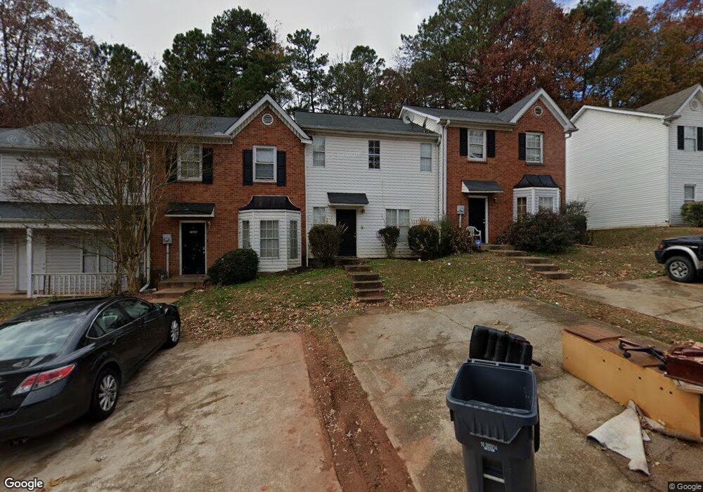
7218 Crestside Dr Unit 1 Austell, GA 30168
Estimated Value: $146,467 - $164,000
2
Beds
3
Baths
1,280
Sq Ft
$123/Sq Ft
Est. Value
About This Home
This home is located at 7218 Crestside Dr Unit 1, Austell, GA 30168 and is currently estimated at $157,617, approximately $123 per square foot. 7218 Crestside Dr Unit 1 is a home located in Cobb County with nearby schools including Bryant Elementary School, Lindley Middle School, and Pebblebrook High School.
Ownership History
Date
Name
Owned For
Owner Type
Purchase Details
Closed on
Apr 9, 2004
Sold by
Vines Denny M and Vines Brenda
Bought by
Mitchell Charles and Mitchell Lillian
Current Estimated Value
Home Financials for this Owner
Home Financials are based on the most recent Mortgage that was taken out on this home.
Original Mortgage
$81,700
Outstanding Balance
$43,604
Interest Rate
7.74%
Mortgage Type
New Conventional
Estimated Equity
$114,014
Purchase Details
Closed on
Dec 6, 2002
Sold by
Vines Brenda
Bought by
Vines Denny M and Vines Brenda
Create a Home Valuation Report for This Property
The Home Valuation Report is an in-depth analysis detailing your home's value as well as a comparison with similar homes in the area
Home Values in the Area
Average Home Value in this Area
Purchase History
| Date | Buyer | Sale Price | Title Company |
|---|---|---|---|
| Mitchell Charles | $86,000 | -- | |
| Vines Denny M | -- | -- |
Source: Public Records
Mortgage History
| Date | Status | Borrower | Loan Amount |
|---|---|---|---|
| Open | Mitchell Charles | $81,700 |
Source: Public Records
Tax History
| Year | Tax Paid | Tax Assessment Tax Assessment Total Assessment is a certain percentage of the fair market value that is determined by local assessors to be the total taxable value of land and additions on the property. | Land | Improvement |
|---|---|---|---|---|
| 2025 | $1,472 | $48,840 | $11,200 | $37,640 |
| 2024 | $1,679 | $55,700 | $11,200 | $44,500 |
| 2023 | $1,375 | $45,596 | $6,000 | $39,596 |
Source: Public Records
Map
Nearby Homes
- 7224 Crestside Dr Unit 1
- 776 Crestside Ct
- 7238 Crestside Dr Unit 79
- 6964 Chasewater Ln
- 7244 Rockhouse Rd Unit 7
- 1173 Summerstone Trace
- 760 Wade Farm Dr
- 7254 Silverton Trail
- 1195 Park Center Cir
- 1090 Blair Bridge Rd
- 1273 Summerstone Trace
- 1194 Park Center Cir
- 1190 Park Center Cir
- 0 Hembree Ln Unit 10633605
- 00 Hembree Ln
- 1163 Park Center Cir
- 6794 Hembree Dr
- 1329 Ling Dr
- 6938 Oakhill Cir
- 1334 Ambercrest Way
- 7220 Crestside Dr Unit 7220
- 7222 Crestside Dr
- 7222 Crestside Dr Unit 1
- 7222 Crestside Dr Unit 7222
- 7224 Crestside Dr Unit 36485990
- 7224 Crestside Dr Unit 36444056
- 7216 Crestside Dr Unit 1
- 0 Drive Unit 7690883
- 7226 Crestside Dr Unit 1
- 7214 Crestside Dr Unit 7214
- 7214 Crestside Dr
- 7214 Crestside Dr Unit .
- 7212 Crestside Dr Unit 1
- 7228 Crestside Dr
- 7230 Crestside Dr
- 7230 Crestside Dr Unit 7230
- 7210 Crestside Dr
- 7210 Crestside Dr Unit 7210
- 7208 Crestside Dr
- 7232 Crestside Dr Unit 1
Your Personal Tour Guide
Ask me questions while you tour the home.