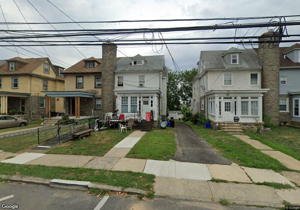
7219 Hazel Ave Upper Darby, PA 19082
Estimated Value: $187,000 - $301,000
4
Beds
2
Baths
1,746
Sq Ft
$145/Sq Ft
Est. Value
About This Home
This home is located at 7219 Hazel Ave, Upper Darby, PA 19082 and is currently estimated at $253,216, approximately $145 per square foot. 7219 Hazel Ave is a home located in Delaware County with nearby schools including Upper Darby Kdg Center, Drexel Hill Middle School, and Upper Darby High School.
Ownership History
Date
Name
Owned For
Owner Type
Purchase Details
Closed on
Feb 12, 2021
Sold by
Odonnell Ruth Ann
Bought by
Akter Shirin and Bashar Abul
Current Estimated Value
Home Financials for this Owner
Home Financials are based on the most recent Mortgage that was taken out on this home.
Original Mortgage
$108,007
Interest Rate
2.9%
Mortgage Type
New Conventional
Purchase Details
Closed on
Sep 5, 1969
Bought by
Odonnell John F
Create a Home Valuation Report for This Property
The Home Valuation Report is an in-depth analysis detailing your home's value as well as a comparison with similar homes in the area
Home Values in the Area
Average Home Value in this Area
Purchase History
| Date | Buyer | Sale Price | Title Company |
|---|---|---|---|
| Akter Shirin | $110,000 | Ntc Key West | |
| Odonnell John F | -- | -- |
Source: Public Records
Mortgage History
| Date | Status | Borrower | Loan Amount |
|---|---|---|---|
| Previous Owner | Akter Shirin | $108,007 |
Source: Public Records
Tax History
| Year | Tax Paid | Tax Assessment Tax Assessment Total Assessment is a certain percentage of the fair market value that is determined by local assessors to be the total taxable value of land and additions on the property. | Land | Improvement |
|---|---|---|---|---|
| 2025 | $5,250 | $124,150 | $39,490 | $84,660 |
| 2024 | $5,250 | $124,150 | $39,490 | $84,660 |
| 2023 | $5,201 | $124,150 | $39,490 | $84,660 |
| 2022 | $5,061 | $124,150 | $39,490 | $84,660 |
| 2021 | $6,824 | $124,150 | $39,490 | $84,660 |
| 2020 | $6,006 | $92,850 | $28,380 | $64,470 |
| 2019 | $5,901 | $92,850 | $28,380 | $64,470 |
| 2018 | $5,833 | $92,850 | $0 | $0 |
| 2017 | $5,681 | $92,850 | $0 | $0 |
| 2016 | $510 | $92,850 | $0 | $0 |
| 2015 | $510 | $92,850 | $0 | $0 |
| 2014 | $510 | $92,850 | $0 | $0 |
Source: Public Records
Map
Nearby Homes
- 7124 Pennsylvania Ave
- 122 Crestview Rd
- 7425 Rogers Ave
- 207 Berbro Ave
- 7920 W Chester Pike
- 7603 W Chester Pike
- 129 S Keystone Ave
- 537 Elm Ave
- 1434 Bywood Ave
- 306 S State Rd
- 367 Margate Rd
- 107 S Keystone Ave
- 15 Kenmore Rd
- 7800 Beverly Blvd
- 100 Englewood Rd
- 512 Fairfield Ave
- 101 N Pennock Ave
- 329 Sanford Rd
- 35 N State Rd
- 332 Springton Rd
- 7217 Hazel Ave
- 7221 Hazel Ave
- 7215 Hazel Ave
- 7223 Hazel Ave
- 7225 Hazel Ave
- 7213 Hazel Ave
- 7227 Hazel Ave
- 7211 Hazel Ave
- 7220 Penarth Ave
- 7229 Hazel Ave
- 7218 Penarth Ave
- 7222 Penarth Ave
- 7224 Penarth Ave
- 7214 Penarth Ave
- 7231 Hazel Ave
- 7212 Penarth Ave
- 7207 Hazel Ave
- 7228 Penarth Ave
- 7216 Hazel Ave
- 7218 Hazel Ave
Your Personal Tour Guide
Ask me questions while you tour the home.