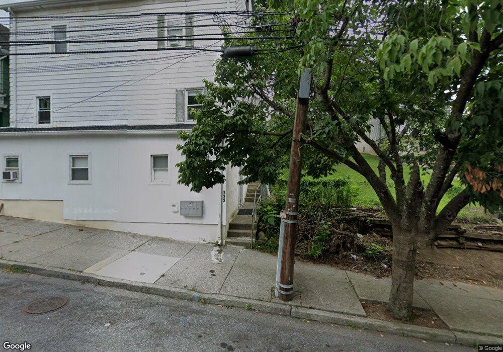
722 Atlantic St Bethlehem, PA 18015
Downtown Bethlehem NeighborhoodEstimated Value: $377,000 - $664,000
4
Beds
4
Baths
2,448
Sq Ft
$217/Sq Ft
Est. Value
About This Home
This home is located at 722 Atlantic St, Bethlehem, PA 18015 and is currently estimated at $530,522, approximately $216 per square foot. 722 Atlantic St is a home located in Northampton County with nearby schools including Donegan Elementary School, Broughal Middle School, and Freedom High School.
Ownership History
Date
Name
Owned For
Owner Type
Purchase Details
Closed on
Oct 18, 2021
Sold by
Danubio Steven J
Bought by
Airx Llc
Current Estimated Value
Home Financials for this Owner
Home Financials are based on the most recent Mortgage that was taken out on this home.
Original Mortgage
$303,000
Outstanding Balance
$276,308
Interest Rate
2.8%
Mortgage Type
Commercial
Estimated Equity
$254,214
Purchase Details
Closed on
Apr 4, 2003
Sold by
Miller Ryan
Bought by
Danubio Steven
Home Financials for this Owner
Home Financials are based on the most recent Mortgage that was taken out on this home.
Original Mortgage
$87,500
Interest Rate
5.88%
Mortgage Type
Commercial
Purchase Details
Closed on
Jun 1, 1999
Bought by
Miller Ryan
Create a Home Valuation Report for This Property
The Home Valuation Report is an in-depth analysis detailing your home's value as well as a comparison with similar homes in the area
Home Values in the Area
Average Home Value in this Area
Purchase History
| Date | Buyer | Sale Price | Title Company |
|---|---|---|---|
| Airx Llc | $420,000 | Parkland Abstract Corp | |
| Danubio Steven | $125,000 | -- | |
| Miller Ryan | $105,000 | -- |
Source: Public Records
Mortgage History
| Date | Status | Borrower | Loan Amount |
|---|---|---|---|
| Open | Airx Llc | $303,000 | |
| Previous Owner | Danubio Steven | $87,500 |
Source: Public Records
Tax History
| Year | Tax Paid | Tax Assessment Tax Assessment Total Assessment is a certain percentage of the fair market value that is determined by local assessors to be the total taxable value of land and additions on the property. | Land | Improvement |
|---|---|---|---|---|
| 2025 | $378 | $35,000 | $10,500 | $24,500 |
| 2024 | $3,094 | $35,000 | $10,500 | $24,500 |
| 2023 | $3,094 | $35,000 | $10,500 | $24,500 |
| 2022 | $3,070 | $35,000 | $10,500 | $24,500 |
| 2021 | $3,049 | $35,000 | $10,500 | $24,500 |
| 2020 | $3,020 | $35,000 | $10,500 | $24,500 |
| 2019 | $3,010 | $35,000 | $10,500 | $24,500 |
| 2018 | $2,937 | $35,000 | $10,500 | $24,500 |
| 2017 | $2,902 | $35,000 | $10,500 | $24,500 |
| 2016 | -- | $35,000 | $10,500 | $24,500 |
| 2015 | -- | $35,000 | $10,500 | $24,500 |
| 2014 | -- | $35,000 | $10,500 | $24,500 |
Source: Public Records
Map
Nearby Homes
- 415 Stoneman St
- 639 Buchanan St
- 649 Shields St
- 614 Buchanan St
- 539 Atlantic St
- 517 Thomas St
- 515 Thomas St
- 740 Laufer St
- 705 E 6th St
- 737 Laufer St
- 612 E 5th St
- 412 Atlantic St
- 4311 Stonebridge Dr
- 1183 Mechanic St
- 1330 E 6th St
- 1416 E 5th St
- 644 William St
- 305 W 8th St
- 463 Montclair Ave
- 11 W 2nd St Unit 139
- 722 Atlantic St Unit 3
- 722 Atlantic St Unit 2
- 722 Atlantic St Unit 1
- 722 Atlantic St Unit 4
- 724 Atlantic St Unit 5
- 720 Atlantic St
- 726 Atlantic St
- 718 Atlantic St
- 718 Atlantic St Unit 2
- 730 Atlantic St
- 714 Atlantic St
- 734 Atlantic St
- 712 Atlantic St
- 710 Atlantic St
- 708 Atlantic St
- 720 Lamb St
- 719 Atlantic St
- 738 Atlantic St
- 706 Atlantic St
- 715 Atlantic St
Your Personal Tour Guide
Ask me questions while you tour the home.