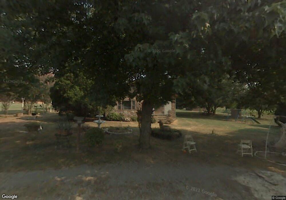
722 Dorothy St Rossville, GA 30741
Estimated Value: $201,439 - $237,000
--
Bed
1
Bath
1,292
Sq Ft
$165/Sq Ft
Est. Value
About This Home
This home is located at 722 Dorothy St, Rossville, GA 30741 and is currently estimated at $213,610, approximately $165 per square foot. 722 Dorothy St is a home located in Walker County with nearby schools including Stone Creek Elementary School, Rossville Middle School, and Ridgeland High School.
Ownership History
Date
Name
Owned For
Owner Type
Purchase Details
Closed on
Jan 10, 2020
Sold by
Brock William K
Bought by
Barclay Gary M
Current Estimated Value
Home Financials for this Owner
Home Financials are based on the most recent Mortgage that was taken out on this home.
Original Mortgage
$93,769
Outstanding Balance
$84,078
Interest Rate
4.4%
Mortgage Type
FHA
Estimated Equity
$129,532
Purchase Details
Closed on
Jul 28, 2015
Sold by
Brock Tava Lee
Bought by
Brock William K
Purchase Details
Closed on
Jan 1, 1972
Bought by
Brock William K
Create a Home Valuation Report for This Property
The Home Valuation Report is an in-depth analysis detailing your home's value as well as a comparison with similar homes in the area
Home Values in the Area
Average Home Value in this Area
Purchase History
| Date | Buyer | Sale Price | Title Company |
|---|---|---|---|
| Barclay Gary M | $95,500 | -- | |
| Brock William K | $72,000 | -- | |
| Brock William K | -- | -- |
Source: Public Records
Mortgage History
| Date | Status | Borrower | Loan Amount |
|---|---|---|---|
| Open | Barclay Gary M | $93,769 |
Source: Public Records
Tax History Compared to Growth
Tax History
| Year | Tax Paid | Tax Assessment Tax Assessment Total Assessment is a certain percentage of the fair market value that is determined by local assessors to be the total taxable value of land and additions on the property. | Land | Improvement |
|---|---|---|---|---|
| 2024 | $1,621 | $70,895 | $10,400 | $60,495 |
| 2023 | $1,583 | $67,686 | $10,400 | $57,286 |
| 2022 | $1,513 | $59,478 | $10,400 | $49,078 |
| 2021 | $1,113 | $40,636 | $7,344 | $33,292 |
| 2020 | $878 | $27,984 | $7,344 | $20,640 |
| 2019 | $893 | $27,984 | $7,344 | $20,640 |
| 2018 | $740 | $27,984 | $7,344 | $20,640 |
| 2017 | $933 | $26,760 | $6,120 | $20,640 |
| 2016 | $785 | $26,760 | $6,120 | $20,640 |
| 2015 | $302 | $23,978 | $3,348 | $20,630 |
| 2014 | $219 | $23,978 | $3,348 | $20,630 |
| 2013 | -- | $23,977 | $3,348 | $20,629 |
Source: Public Records
Map
Nearby Homes
- 719 Dorothy St
- 726 Dorothy St
- 715 Dorothy St
- 719 Mary Agnes Dr
- 1533 Myrt St
- 718 Salem Rd
- 1531 Myrt St
- 721 Mary Agnes Dr
- 717 Mary Agnes Dr
- 1535 Myrt St
- 1529 Myrt St
- 723 Mary Agnes Dr
- 715 Mary Agnes Dr
- 1537 Myrt St
- 716 Salem Rd
- 1527 Myrt St
- 751 Salem Rd
- 725 Mary Agnes Dr
- 1539 Myrt St Unit 26
- 713 Mary Agnes Dr