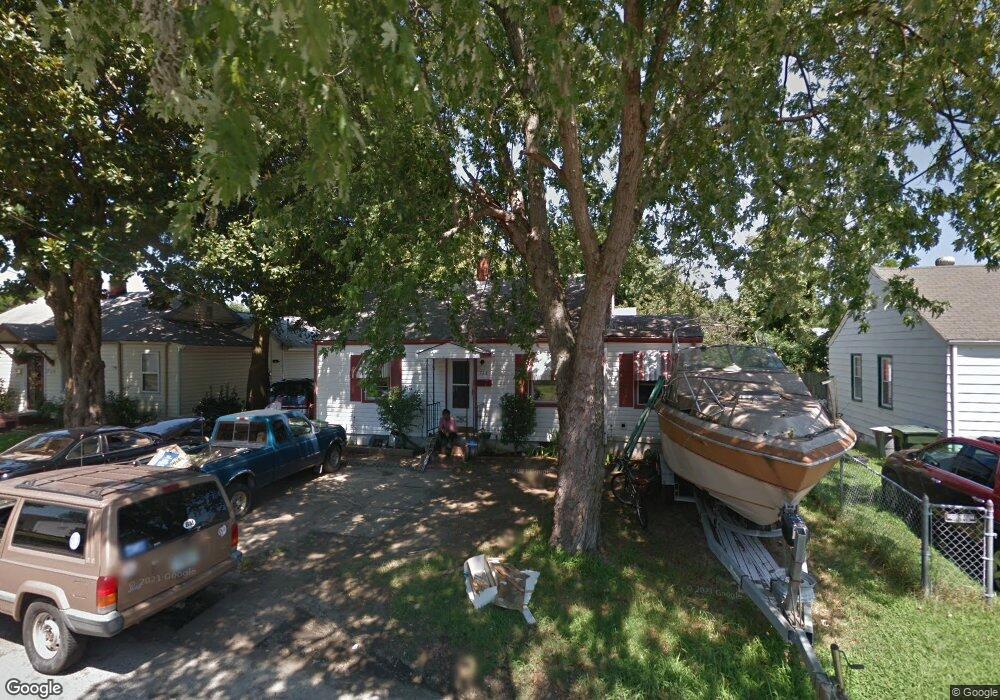
722 Grove St Hampton, VA 23664
Buckroe Beach NeighborhoodEstimated Value: $206,000 - $255,512
2
Beds
2
Baths
862
Sq Ft
$261/Sq Ft
Est. Value
About This Home
This home is located at 722 Grove St, Hampton, VA 23664 and is currently estimated at $224,628, approximately $260 per square foot. 722 Grove St is a home located in Hampton City with nearby schools including Jane H. Bryan Elementary School, Benjamin Syms Middle School, and Phoebus High School.
Ownership History
Date
Name
Owned For
Owner Type
Purchase Details
Closed on
Jun 4, 2020
Sold by
Dunn Brian G
Bought by
Carver Catherine L
Current Estimated Value
Home Financials for this Owner
Home Financials are based on the most recent Mortgage that was taken out on this home.
Original Mortgage
$138,446
Outstanding Balance
$122,722
Interest Rate
3.2%
Mortgage Type
FHA
Estimated Equity
$101,906
Purchase Details
Closed on
Jul 31, 2018
Sold by
Holmes Carolyn A
Bought by
Dunn Brian G
Create a Home Valuation Report for This Property
The Home Valuation Report is an in-depth analysis detailing your home's value as well as a comparison with similar homes in the area
Home Values in the Area
Average Home Value in this Area
Purchase History
| Date | Buyer | Sale Price | Title Company |
|---|---|---|---|
| Carver Catherine L | $141,000 | Attorney | |
| Dunn Brian G | $55,000 | Attorney |
Source: Public Records
Mortgage History
| Date | Status | Borrower | Loan Amount |
|---|---|---|---|
| Open | Carver Catherine L | $138,446 |
Source: Public Records
Tax History
| Year | Tax Paid | Tax Assessment Tax Assessment Total Assessment is a certain percentage of the fair market value that is determined by local assessors to be the total taxable value of land and additions on the property. | Land | Improvement |
|---|---|---|---|---|
| 2025 | $2,601 | $230,300 | $65,000 | $165,300 |
| 2024 | $2,280 | $198,300 | $65,000 | $133,300 |
| 2023 | $2,185 | $188,400 | $50,000 | $138,400 |
| 2022 | $2,065 | $175,000 | $45,000 | $130,000 |
| 2021 | $1,927 | $144,900 | $40,000 | $104,900 |
| 2020 | $1,772 | $142,900 | $31,800 | $111,100 |
| 2019 | $1,131 | $91,200 | $31,800 | $59,400 |
| 2018 | $1,225 | $91,200 | $31,800 | $59,400 |
| 2017 | $1,225 | $0 | $0 | $0 |
| 2016 | $1,225 | $91,200 | $0 | $0 |
| 2015 | $1,225 | $0 | $0 | $0 |
| 2014 | $1,215 | $91,200 | $31,800 | $59,400 |
Source: Public Records
Map
Nearby Homes
- 2112 E Pembroke Ave
- 714 Grove St
- 2051 Richard Ave
- 1527 Grove St
- 9 Bayview Ct
- 515 Buckroe Ave
- 1622 Old Buckroe Rd
- 123 N Sixth St
- 1642 N Mallory St
- 1510 Denton Dr
- 17 Seaview Dr
- 2013 N Mallory St
- 1642 Old Buckroe Rd
- 604 Old Buckroe Rd
- 1904 Nickerson Blvd
- 108 N First St
- 13 Cantamar Ct
- 128 N First St
- 9 Cantamar Ct
- 214 N First St
- 720 Grove St
- 724 Grove St
- 2110 E Pembroke Ave
- 2108 E Pembroke Ave
- 718 Grove St
- 726 Grove St
- 2106 E Pembroke Ave
- 721 Grove St
- 723 Grove St
- 716 Grove St
- 728 Grove St
- 2114 E Pembroke Ave
- 2104 E Pembroke Ave
- 719 Grove St
- 725 Grove St
- 717 Grove St
- 727 Grove St
- 2116 E Pembroke Ave
- 2102 E Pembroke Ave
- 730 Grove St
Your Personal Tour Guide
Ask me questions while you tour the home.