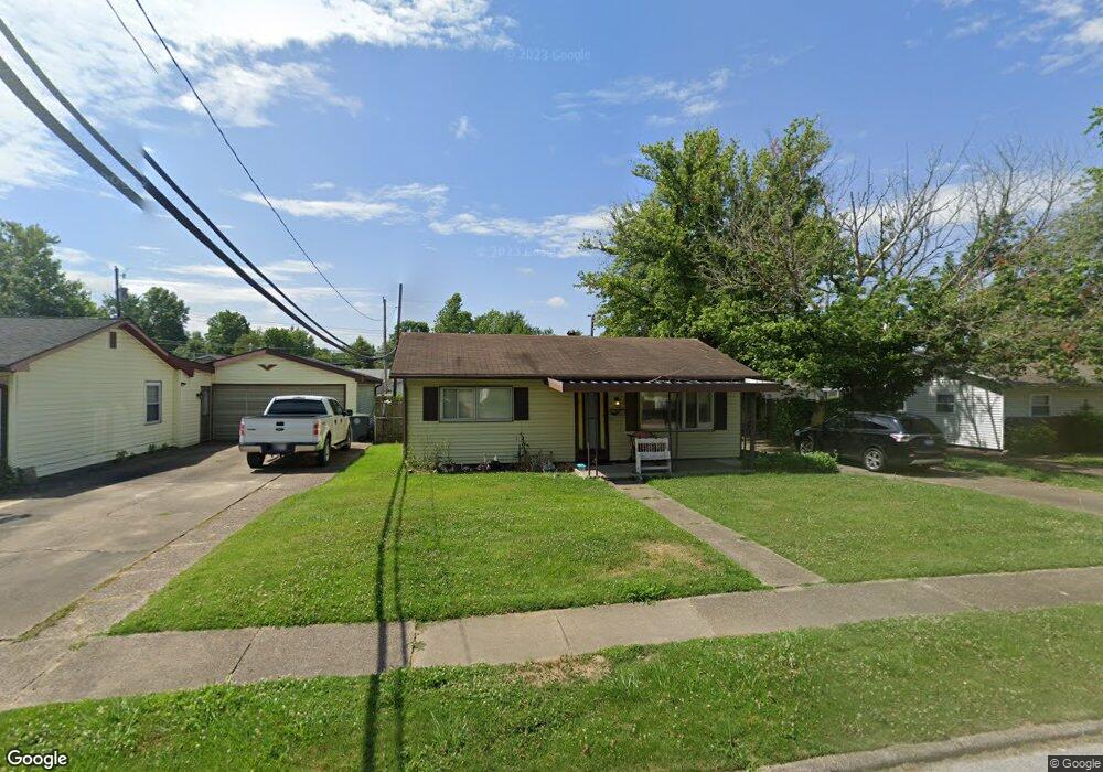
722 Hanover Rd Evansville, IN 47710
North Country Club NeighborhoodEstimated Value: $131,000 - $184,000
2
Beds
1
Bath
825
Sq Ft
$189/Sq Ft
Est. Value
About This Home
This home is located at 722 Hanover Rd, Evansville, IN 47710 and is currently estimated at $156,192, approximately $189 per square foot. 722 Hanover Rd is a home located in Vanderburgh County with nearby schools including Highland Elementary School, Thompkins Middle School, and Central High School.
Ownership History
Date
Name
Owned For
Owner Type
Purchase Details
Closed on
Sep 6, 2017
Sold by
Anderson Brenda A
Bought by
Gross Dennis and Gross Diana
Current Estimated Value
Home Financials for this Owner
Home Financials are based on the most recent Mortgage that was taken out on this home.
Original Mortgage
$50,000
Outstanding Balance
$41,754
Interest Rate
3.9%
Mortgage Type
New Conventional
Estimated Equity
$114,438
Purchase Details
Closed on
Jul 29, 2011
Sold by
Newman Anita A and Mattingly Linda G
Bought by
Anderson Brenda A
Create a Home Valuation Report for This Property
The Home Valuation Report is an in-depth analysis detailing your home's value as well as a comparison with similar homes in the area
Home Values in the Area
Average Home Value in this Area
Purchase History
| Date | Buyer | Sale Price | Title Company |
|---|---|---|---|
| Gross Dennis | -- | None Available | |
| Anderson Brenda A | -- | None Available |
Source: Public Records
Mortgage History
| Date | Status | Borrower | Loan Amount |
|---|---|---|---|
| Open | Gross Dennis | $50,000 |
Source: Public Records
Tax History Compared to Growth
Tax History
| Year | Tax Paid | Tax Assessment Tax Assessment Total Assessment is a certain percentage of the fair market value that is determined by local assessors to be the total taxable value of land and additions on the property. | Land | Improvement |
|---|---|---|---|---|
| 2024 | $2,709 | $125,200 | $12,500 | $112,700 |
| 2023 | $2,476 | $113,200 | $11,200 | $102,000 |
| 2022 | $1,830 | $83,000 | $11,200 | $71,800 |
| 2021 | $1,512 | $67,300 | $11,200 | $56,100 |
| 2020 | $1,484 | $67,600 | $11,200 | $56,400 |
| 2019 | $1,476 | $67,600 | $11,200 | $56,400 |
| 2018 | $1,481 | $67,600 | $11,200 | $56,400 |
| 2017 | $1,475 | $66,900 | $11,200 | $55,700 |
| 2016 | $1,481 | $67,100 | $11,200 | $55,900 |
| 2014 | $1,482 | $67,100 | $11,200 | $55,900 |
| 2013 | -- | $67,600 | $11,200 | $56,400 |
Source: Public Records
Map
Nearby Homes
- 5218 Sherbrooke Rd
- 5304 Warren Dr
- 5317 Warren Dr
- 5217 Sherbrooke Rd
- 5706 Foxboro Ln
- 300 Springhaven Dr
- 5815 Ashbrooke Rd
- 117 Springhaven Dr
- 913 Sheffield Dr
- 6013 Whitethorne Dr
- 5716 Berry Ln
- 1318 Timberlake Rd
- 6001 Berry Ln
- 5900 Berry Ln
- 6124 Ashbrooke Rd
- 1145 W Heerdink Ave
- 5321 Dauby Dr Unit A
- 5724 Stringtown Rd
- 1500 Kennel Dr
- 1313 Woodbine Ln
- 718 Hanover Rd
- 726 Hanover Rd
- 714 Hanover Rd
- 721 W Berkeley Ave
- 725 W Berkeley Ave
- 717 W Berkeley Ave
- 721 Hanover Rd
- 713 W Berkeley Ave
- 717 Hanover Rd
- 725 Hanover Rd
- 710 Hanover Rd
- 713 Hanover Rd
- 709 W Berkeley Ave
- 706 Hanover Rd
- 709 Hanover Rd
- 705 W Berkeley Ave
- 722 Thornberry Dr
- 718 Thornberry Dr
- 726 Thornberry Dr
- 705 Hanover Rd