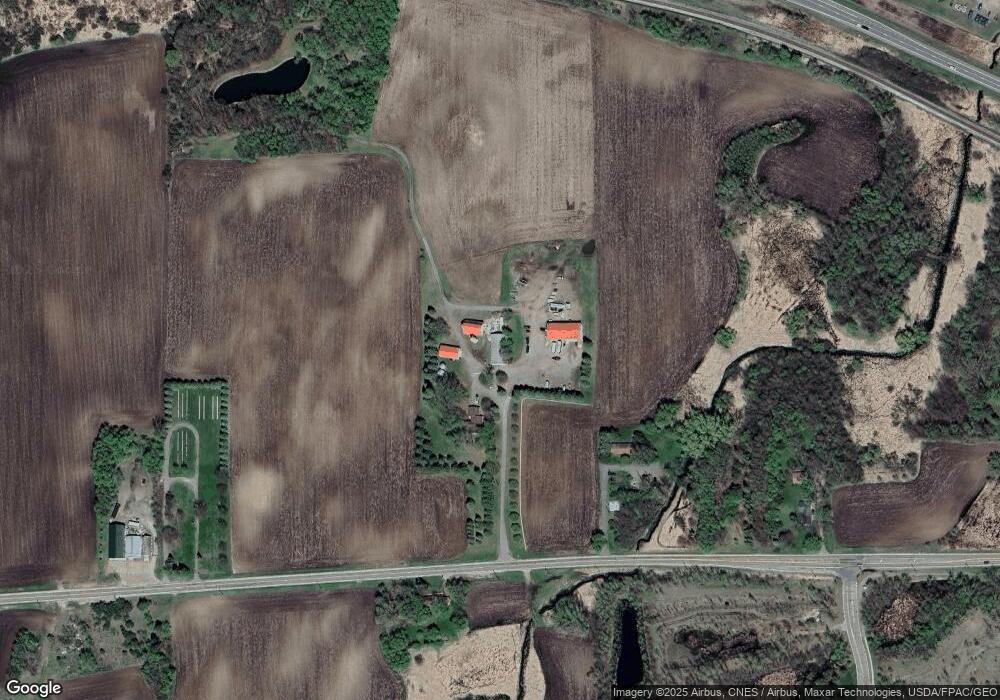
722 Harrison St W Annandale, MN 55302
Estimated Value: $724,000 - $1,039,000
3
Beds
2
Baths
2,805
Sq Ft
$326/Sq Ft
Est. Value
About This Home
This home is located at 722 Harrison St W, Annandale, MN 55302 and is currently estimated at $915,518, approximately $326 per square foot. 722 Harrison St W is a home located in Wright County with nearby schools including Annandale Elementary School, Annandale Middle School, and Annandale Senior High School.
Ownership History
Date
Name
Owned For
Owner Type
Purchase Details
Closed on
Aug 10, 2022
Sold by
Pitzl Robert and Pitzl Denise
Bought by
Fiedler Michael and Fiedler Susan
Current Estimated Value
Home Financials for this Owner
Home Financials are based on the most recent Mortgage that was taken out on this home.
Original Mortgage
$385,565
Outstanding Balance
$369,169
Interest Rate
5.7%
Mortgage Type
New Conventional
Estimated Equity
$546,349
Purchase Details
Closed on
Nov 3, 1997
Sold by
Latour Cletus J
Bought by
Pitzl Robert L and Pitzl Denise J
Create a Home Valuation Report for This Property
The Home Valuation Report is an in-depth analysis detailing your home's value as well as a comparison with similar homes in the area
Home Values in the Area
Average Home Value in this Area
Purchase History
| Date | Buyer | Sale Price | Title Company |
|---|---|---|---|
| Fiedler Michael | $800,000 | -- | |
| Pitzl Robert L | $165,000 | -- |
Source: Public Records
Mortgage History
| Date | Status | Borrower | Loan Amount |
|---|---|---|---|
| Open | Fiedler Michael | $385,565 |
Source: Public Records
Tax History Compared to Growth
Tax History
| Year | Tax Paid | Tax Assessment Tax Assessment Total Assessment is a certain percentage of the fair market value that is determined by local assessors to be the total taxable value of land and additions on the property. | Land | Improvement |
|---|---|---|---|---|
| 2025 | $3,258 | $1,009,900 | $584,000 | $425,900 |
| 2024 | $3,172 | $937,000 | $503,500 | $433,500 |
| 2023 | $2,964 | $924,300 | $485,900 | $438,400 |
| 2022 | $2,740 | $795,800 | $402,600 | $393,200 |
| 2021 | $2,720 | $565,400 | $268,700 | $296,700 |
| 2020 | $2,702 | $546,300 | $259,600 | $286,700 |
| 2019 | $2,576 | $237,000 | $0 | $0 |
| 2018 | $2,112 | $23,300 | $0 | $0 |
| 2017 | $1,730 | $398,200 | $0 | $0 |
| 2016 | $1,706 | $0 | $0 | $0 |
| 2015 | $1,634 | $0 | $0 | $0 |
| 2014 | -- | $0 | $0 | $0 |
Source: Public Records
Map
Nearby Homes
- 350 Harrison St W
- TBD Harrison St W
- 180 Brown Ave S
- 70 Excelsior Ave N
- 330 Florence Ave S
- 320 Florence Ave S
- 310 Florence Ave S
- 340 Florence Ave S
- 350 Florence Ave S
- 360 Florence Ave S
- 370 Florence Ave S
- Olson Plan at Triplett Farms
- Lincoln Plan at Triplett Farms
- Goodhue Plan at Triplett Farms
- Henderson Plan at Triplett Farms
- Hancock Plan at Triplett Farms
- Floyd Plan at Triplett Farms
- Hennepin II Plan at Triplett Farms
- Madden Plan at Triplett Farms
- Rachel Plan at Triplett Farms
- 640 Harrison St W
- 610 Harrison St W
- 721 Harrison St W
- 140 Douglas Dr S
- 460 Harrison St W
- 150 Douglas Dr S
- 160 Douglas Dr S
- 160 Brookdale Blvd
- 170 Douglas Dr S
- 200 Douglas Dr S
- 440 Harrison St W
- 550 Highland St W
- 550 Highland St W
- 210 Douglas Dr S
- 52xx Quimby Ave NW
- 91XX Keats Ave NW
- xxx 17th St NW
- xx Norway Dr
- 540 Highland St W
- 220 Douglas Dr S
