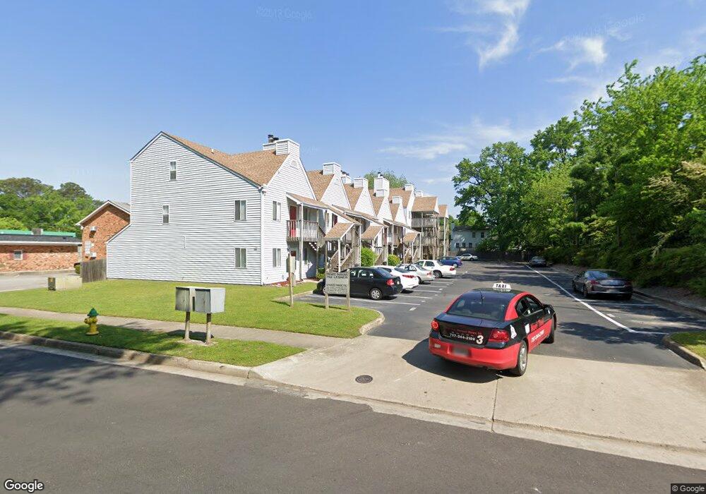
722 Lesner Ave Unit 2 Norfolk, VA 23518
Colonial Heights NeighborhoodEstimated Value: $146,000 - $205,000
2
Beds
2
Baths
1,250
Sq Ft
$137/Sq Ft
Est. Value
About This Home
This home is located at 722 Lesner Ave Unit 2, Norfolk, VA 23518 and is currently estimated at $170,646, approximately $136 per square foot. 722 Lesner Ave Unit 2 is a home located in Norfolk City with nearby schools including Crossroads School, Norview Middle School, and Norview High School.
Ownership History
Date
Name
Owned For
Owner Type
Purchase Details
Closed on
Feb 14, 2017
Sold by
Federal Home Loan Mortgage Corporation
Bought by
Huovinen Mathieu W
Current Estimated Value
Create a Home Valuation Report for This Property
The Home Valuation Report is an in-depth analysis detailing your home's value as well as a comparison with similar homes in the area
Home Values in the Area
Average Home Value in this Area
Purchase History
| Date | Buyer | Sale Price | Title Company |
|---|---|---|---|
| Huovinen Mathieu W | $54,000 | Servicelink Llc |
Source: Public Records
Tax History
| Year | Tax Paid | Tax Assessment Tax Assessment Total Assessment is a certain percentage of the fair market value that is determined by local assessors to be the total taxable value of land and additions on the property. | Land | Improvement |
|---|---|---|---|---|
| 2025 | $1,996 | $159,700 | $21,300 | $138,400 |
| 2024 | $1,873 | $152,300 | $21,300 | $131,000 |
| 2023 | $1,839 | $147,100 | $21,300 | $125,800 |
| 2022 | $1,904 | $152,300 | $21,300 | $131,000 |
| 2021 | $1,549 | $123,900 | $21,300 | $102,600 |
| 2020 | $1,393 | $111,400 | $8,800 | $102,600 |
| 2019 | $1,355 | $108,400 | $8,800 | $99,600 |
| 2018 | $1,306 | $104,500 | $8,800 | $95,700 |
| 2017 | $1,333 | $115,900 | $8,800 | $107,100 |
| 2016 | $1,493 | $126,300 | $8,600 | $117,700 |
| 2015 | $1,459 | $126,300 | $8,600 | $117,700 |
| 2014 | $1,459 | $126,300 | $8,600 | $117,700 |
Source: Public Records
Map
Nearby Homes
- 725 Mayfield Ave
- 729 Mayfield Ave
- 777 Marvin Ave
- 8210 Tidewater Dr
- 805 Norman Ave
- 8227 Andrew Ln
- 600 Burksdale Rd
- 8211 Gygax Rd
- 8113 Colin Dr
- 928 Sheppard Ave
- 8216 Old Ocean View Rd
- 8208 Edwin Dr
- 948 Newell Ave
- 8228 Edwin Dr
- 8483 Old Ocean View Rd
- 8115 Merritt St
- 8550 Tidewater Dr Unit A1
- 8238 Chesapeake Blvd
- 8249 Simons Dr
- 7927 Harold St
- 722 Lesner Ave Unit 107
- 722 Lesner Ave Unit 6
- 722 Lesner Ave Unit 9
- 722 Lesner Ave Unit 13
- 722 Lesner Ave Unit 16
- 722 Lesner Ave Unit 15
- 722 Lesner Ave Unit 14
- 722 Lesner Ave Unit 18
- 722 Lesner Ave Unit 17
- 722 Lesner Ave Unit 12
- 722 Lesner Ave Unit 11
- 722 Lesner Ave Unit 10
- 722 Lesner Ave Unit 8
- 722 Lesner Ave Unit 4
- 722 Lesner Ave Unit 7
- 722 Lesner Ave Unit 5
- 722 Lesner Ave Unit 3
- 722 Lesner Ave Unit 1
- 722 Lesner Ave
- 722 Lesner Ave Unit 201
Your Personal Tour Guide
Ask me questions while you tour the home.