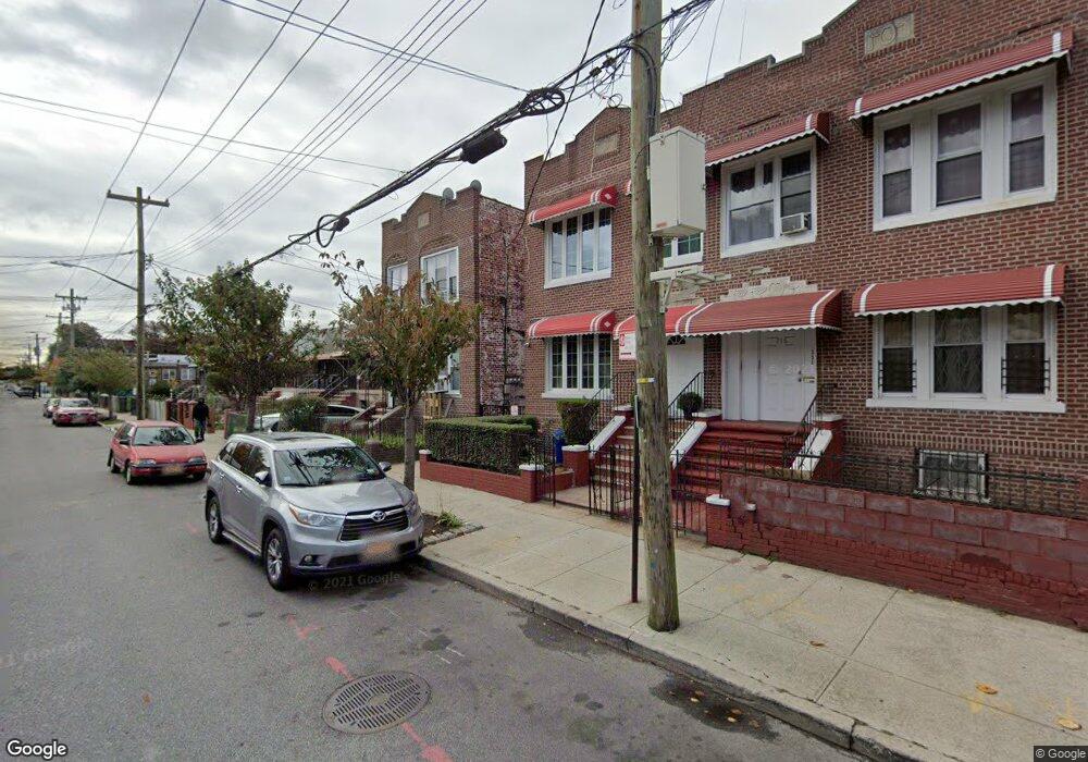
722 Logan St Unit 722A Brooklyn, NY 11208
East New York NeighborhoodEstimated Value: $676,000 - $1,010,000
Studio
--
Bath
1,542
Sq Ft
$525/Sq Ft
Est. Value
About This Home
This home is located at 722 Logan St Unit 722A, Brooklyn, NY 11208 and is currently estimated at $809,491, approximately $524 per square foot. 722 Logan St Unit 722A is a home located in Kings County with nearby schools including P.S. 202 Ernest S Jenkyns, Our World Neighborhood Charter School 2, and Brownsville Collegiate Charter School.
Ownership History
Date
Name
Owned For
Owner Type
Purchase Details
Closed on
Jan 9, 1999
Sold by
Oringer Marc
Bought by
Thompson Brenda V and Fowlin Dunstan C
Current Estimated Value
Home Financials for this Owner
Home Financials are based on the most recent Mortgage that was taken out on this home.
Original Mortgage
$266,800
Interest Rate
7.02%
Mortgage Type
FHA
Purchase Details
Closed on
Aug 10, 1998
Sold by
Joseph Michael R and Joseph Satwaty S
Bought by
Oringer Marc
Create a Home Valuation Report for This Property
The Home Valuation Report is an in-depth analysis detailing your home's value as well as a comparison with similar homes in the area
Home Values in the Area
Average Home Value in this Area
Purchase History
| Date | Buyer | Sale Price | Title Company |
|---|---|---|---|
| Thompson Brenda V | $269,000 | -- | |
| Oringer Marc | $157,000 | -- |
Source: Public Records
Mortgage History
| Date | Status | Borrower | Loan Amount |
|---|---|---|---|
| Previous Owner | Thompson Brenda V | $266,800 |
Source: Public Records
Tax History
| Year | Tax Paid | Tax Assessment Tax Assessment Total Assessment is a certain percentage of the fair market value that is determined by local assessors to be the total taxable value of land and additions on the property. | Land | Improvement |
|---|---|---|---|---|
| 2025 | $4,836 | $48,720 | $10,080 | $38,640 |
| 2024 | $4,836 | $42,360 | $10,080 | $32,280 |
| 2023 | $4,890 | $46,800 | $10,080 | $36,720 |
| 2022 | $4,557 | $39,780 | $10,080 | $29,700 |
| 2021 | $4,521 | $41,820 | $10,080 | $31,740 |
| 2019 | $4,149 | $37,440 | $10,080 | $27,360 |
| 2018 | $4,031 | $21,232 | $6,392 | $14,840 |
| 2017 | $3,822 | $20,220 | $9,596 | $10,624 |
| 2016 | $3,504 | $19,076 | $7,704 | $11,372 |
| 2015 | $1,812 | $18,753 | $7,083 | $11,670 |
| 2014 | $1,812 | $17,694 | $6,951 | $10,743 |
Source: Public Records
Map
Nearby Homes
- 461 Milford St
- 479 Milford St
- 477 Milford St
- 517 Milford St
- 393 Montauk Ave
- 378 Montauk Ave
- 459 Berriman St
- 963 Hegeman Ave
- 1116 Blake Ave
- 372 Atkins Ave
- 1371-1373 Dumont Ave
- 727 Euclid Ave
- 1094 Blake Ave
- 1109 Blake Ave
- 369 Berriman St
- 738 Shepherd Ave
- 321 Milford St
- 747 Essex St
- 661 Euclid Ave
- 577 Logan St
- 722A Logan St
- 722-722A Logan St
- 720 Logan St
- 724 Logan St
- 716 Logan St
- 726 Logan St
- 714 Logan St
- 714 Logan St Unit 2
- 730 Logan St
- 710 Logan St
- 449 Milford St
- 447 Milford St
- 732 Logan St
- 445 Milford St
- 445 Milford St Unit 4457/0058
- 455 Milford St
- 443 Milford St
- 708 Logan St
- 453 Milford St
- 453 Milford St Unit 2
Your Personal Tour Guide
Ask me questions while you tour the home.