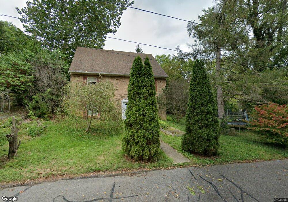
722 Maple Ave Waynesboro, VA 22980
Estimated Value: $426,000 - $532,000
5
Beds
4
Baths
3,350
Sq Ft
$139/Sq Ft
Est. Value
About This Home
This home is located at 722 Maple Ave, Waynesboro, VA 22980 and is currently estimated at $464,232, approximately $138 per square foot. 722 Maple Ave is a home located in Waynesboro City with nearby schools including Berkeley Glenn Elementary School, Kate Collins Middle School, and Waynesboro High School.
Ownership History
Date
Name
Owned For
Owner Type
Purchase Details
Closed on
May 25, 2017
Sold by
Schlappi Aaron
Bought by
Hamilton Troy B
Current Estimated Value
Home Financials for this Owner
Home Financials are based on the most recent Mortgage that was taken out on this home.
Original Mortgage
$235,653
Interest Rate
5.5%
Mortgage Type
FHA
Purchase Details
Closed on
Dec 11, 2009
Sold by
Federal National Mortgage Association
Bought by
Schlappi Aaron
Purchase Details
Closed on
Jul 13, 2009
Sold by
Ulrich Anisa M
Bought by
Fed Ntl Mort Assn
Create a Home Valuation Report for This Property
The Home Valuation Report is an in-depth analysis detailing your home's value as well as a comparison with similar homes in the area
Home Values in the Area
Average Home Value in this Area
Purchase History
| Date | Buyer | Sale Price | Title Company |
|---|---|---|---|
| Hamilton Troy B | $240,000 | Shenandoah Settlement | |
| Schlappi Aaron | $165,000 | -- | |
| Fed Ntl Mort Assn | $199,164 | -- |
Source: Public Records
Mortgage History
| Date | Status | Borrower | Loan Amount |
|---|---|---|---|
| Previous Owner | Hamilton Troy B | $235,653 |
Source: Public Records
Tax History Compared to Growth
Tax History
| Year | Tax Paid | Tax Assessment Tax Assessment Total Assessment is a certain percentage of the fair market value that is determined by local assessors to be the total taxable value of land and additions on the property. | Land | Improvement |
|---|---|---|---|---|
| 2025 | $3,154 | $384,600 | $60,000 | $324,600 |
| 2024 | $2,679 | $347,900 | $57,500 | $290,400 |
| 2023 | $2,679 | $347,900 | $57,500 | $290,400 |
| 2022 | $2,373 | $263,700 | $55,000 | $208,700 |
| 2021 | $2,373 | $263,700 | $55,000 | $208,700 |
| 2020 | $2,241 | $249,000 | $55,000 | $194,000 |
| 2019 | $2,241 | $249,000 | $55,000 | $194,000 |
| 2018 | $1,844 | $204,900 | $55,000 | $149,900 |
| 2017 | $1,783 | $204,900 | $55,000 | $149,900 |
| 2016 | $1,581 | $197,600 | $55,000 | $142,600 |
| 2015 | $1,581 | $197,600 | $55,000 | $142,600 |
| 2014 | -- | $189,100 | $55,000 | $134,100 |
| 2013 | -- | $0 | $0 | $0 |
Source: Public Records
Map
Nearby Homes
- 645 Maple Ave
- 842 Maple Ave
- 548 Pine Ave
- 844 Lyndhurst Rd
- 833 Jefferson Ave
- 477 Chestnut Ave
- 705 Oak Ave
- 314 13th St
- 528 Arch Ave
- 1215 W 12th St
- 1305 13th St
- 529 S Linden Ave
- 373 S Magnolia Ave
- 701 Western Rd
- 1013 Ohio St
- 407 Crompton Rd
- 106 Henry Ave
- 636 Rosser Ave
- 252 Port Republic Rd
- 1637 Mulberry St