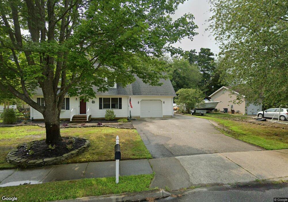
722 Maple Rd Lanoka Harbor, NJ 08734
Estimated Value: $486,200 - $592,000
4
Beds
2
Baths
2,004
Sq Ft
$266/Sq Ft
Est. Value
About This Home
This home is located at 722 Maple Rd, Lanoka Harbor, NJ 08734 and is currently estimated at $532,300, approximately $265 per square foot. 722 Maple Rd is a home located in Ocean County with nearby schools including Lacey Township High School.
Ownership History
Date
Name
Owned For
Owner Type
Purchase Details
Closed on
Mar 4, 1994
Sold by
Enderson John
Bought by
Endreson John and Endreson Pamela
Current Estimated Value
Home Financials for this Owner
Home Financials are based on the most recent Mortgage that was taken out on this home.
Original Mortgage
$85,000
Interest Rate
7.01%
Create a Home Valuation Report for This Property
The Home Valuation Report is an in-depth analysis detailing your home's value as well as a comparison with similar homes in the area
Home Values in the Area
Average Home Value in this Area
Purchase History
| Date | Buyer | Sale Price | Title Company |
|---|---|---|---|
| Endreson John | $110,000 | -- |
Source: Public Records
Mortgage History
| Date | Status | Borrower | Loan Amount |
|---|---|---|---|
| Closed | Endreson John | $85,000 |
Source: Public Records
Tax History
| Year | Tax Paid | Tax Assessment Tax Assessment Total Assessment is a certain percentage of the fair market value that is determined by local assessors to be the total taxable value of land and additions on the property. | Land | Improvement |
|---|---|---|---|---|
| 2025 | $6,976 | $275,300 | $113,000 | $162,300 |
| 2024 | $6,522 | $275,300 | $113,000 | $162,300 |
Source: Public Records
Map
Nearby Homes
- 118 Hemlock Dr
- 109 Laurel Blvd
- 301 Chestnut Dr
- 320 Cedar Dr
- 502 Teakwood Dr
- 202 Lawrence Dr
- 309 Lawrence Dr
- 416 Chestnut Dr
- 405 Decker Ct
- 330 Riviera Dr
- 26 Jacqueline Ct
- 606 Bowsprit Point
- 422 Drew Ave
- 605 Sinclair Ave
- 0 Drew Ave Unit 11585060
- 602 Drew Ave
- 7 Albatross Point
- 308 Pine Forest Ln
- 619 Clairmore Ave
- 3 Easy St