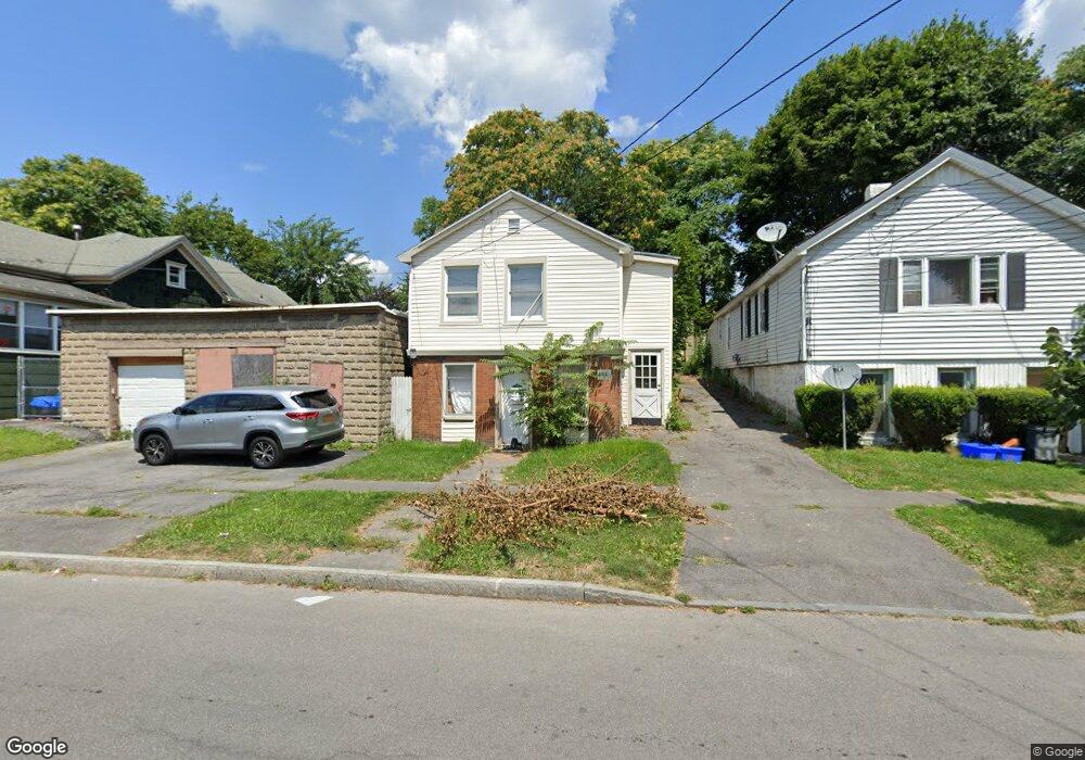
722 N Alvord St Syracuse, NY 13208
Northside NeighborhoodEstimated Value: $88,000 - $125,000
4
Beds
2
Baths
2,272
Sq Ft
$47/Sq Ft
Est. Value
About This Home
This home is located at 722 N Alvord St, Syracuse, NY 13208 and is currently estimated at $107,649, approximately $47 per square foot. 722 N Alvord St is a home located in Onondaga County with nearby schools including Franklin Elementary School, Grant Middle School, and Corcoran High School.
Ownership History
Date
Name
Owned For
Owner Type
Purchase Details
Closed on
May 14, 2021
Sold by
Greater Syracuse Prop Dev
Bought by
Hopeprint Next Initia Llc
Current Estimated Value
Home Financials for this Owner
Home Financials are based on the most recent Mortgage that was taken out on this home.
Original Mortgage
$70,000
Outstanding Balance
$63,338
Interest Rate
3%
Mortgage Type
Purchase Money Mortgage
Estimated Equity
$44,311
Create a Home Valuation Report for This Property
The Home Valuation Report is an in-depth analysis detailing your home's value as well as a comparison with similar homes in the area
Home Values in the Area
Average Home Value in this Area
Purchase History
| Date | Buyer | Sale Price | Title Company |
|---|---|---|---|
| Hopeprint Next Initia Llc | $1,000 | None Available | |
| Hopeprint Next Initia Llc | $1,000 | None Available |
Source: Public Records
Mortgage History
| Date | Status | Borrower | Loan Amount |
|---|---|---|---|
| Open | Hopeprint Next Initia Llc | $70,000 | |
| Closed | Hopeprint Next Initia Llc | $70,000 |
Source: Public Records
Tax History Compared to Growth
Tax History
| Year | Tax Paid | Tax Assessment Tax Assessment Total Assessment is a certain percentage of the fair market value that is determined by local assessors to be the total taxable value of land and additions on the property. | Land | Improvement |
|---|---|---|---|---|
| 2024 | -- | $45,000 | $6,400 | $38,600 |
| 2023 | $1,175 | $45,000 | $6,400 | $38,600 |
| 2022 | $1,038 | $30,000 | $6,400 | $23,600 |
| 2021 | $1,038 | $30,000 | $6,400 | $23,600 |
| 2020 | $4,367 | $30,000 | $6,400 | $23,600 |
| 2019 | $4,367 | $30,000 | $6,400 | $23,600 |
| 2018 | $4,367 | $58,500 | $6,400 | $52,100 |
| 2017 | $1,333 | $58,500 | $6,400 | $52,100 |
| 2016 | $1,351 | $58,500 | $6,400 | $52,100 |
| 2015 | -- | $58,500 | $6,400 | $52,100 |
| 2014 | -- | $58,500 | $6,400 | $52,100 |
Source: Public Records
Map
Nearby Homes
- 132 Steuben St
- 106 Steuben St
- 147 Steuben St
- 121 Pond St
- 2023 Lodi St
- 417 Kirkpatrick St
- 602 Kirkpatrick St
- 1808 Lodi St
- 900 N Alvord St
- 517 Carbon St
- 1807 Lodi St
- 1213 N State St
- 505 Carbon St
- 1021 N Townsend St
- 700 Danforth St
- 110 Herbert St
- 613 E Division St
- 702 Danforth St
- 117 Lawrence St
- 111 Lawrence St
- 720 N Alvord St
- 726 N Alvord St
- 718 N Alvord St
- 121 Steuben St
- 728 N Alvord St
- 716 N Alvord St
- 119 Steuben St
- 123 Steuben St
- 117 Steuben St
- 125 Steuben St
- 714 N Alvord St
- 115 Steuben St
- 127 Steuben St
- 113 Steuben St
- 723 N Alvord St
- 129 Steuben St
- 725 N Alvord St
- 712 N Alvord St
- 732 N Alvord St
- 727 N Alvord St