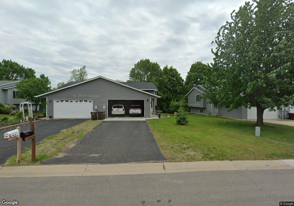
722 Reo Rd Watertown, MN 55388
Estimated Value: $212,953 - $263,000
2
Beds
1
Bath
938
Sq Ft
$263/Sq Ft
Est. Value
About This Home
This home is located at 722 Reo Rd, Watertown, MN 55388 and is currently estimated at $246,238, approximately $262 per square foot. 722 Reo Rd is a home located in Carver County with nearby schools including Watertown-Mayer Elementary School, Watertown-Mayer Middle School, and Watertown Mayer High School.
Ownership History
Date
Name
Owned For
Owner Type
Purchase Details
Closed on
Nov 28, 2018
Sold by
Fannie Mae
Bought by
Miller Douglas
Current Estimated Value
Home Financials for this Owner
Home Financials are based on the most recent Mortgage that was taken out on this home.
Original Mortgage
$132,600
Outstanding Balance
$116,823
Interest Rate
4.8%
Mortgage Type
New Conventional
Estimated Equity
$129,415
Purchase Details
Closed on
Apr 25, 2018
Sold by
Ditech Financial Llc
Bought by
Federal National Mortgage Association
Purchase Details
Closed on
Oct 13, 2017
Sold by
Mathews William M and Dennis Laurie K
Bought by
Ditech Financial Llc and Green Tree Servicing Llc
Purchase Details
Closed on
Mar 13, 2000
Sold by
Cir Homes Inc
Bought by
Mathews William M and Dennis Laurie K
Purchase Details
Closed on
Dec 16, 1999
Sold by
Jasper Development Corp Of Waconia
Bought by
C I R Homes Inc
Create a Home Valuation Report for This Property
The Home Valuation Report is an in-depth analysis detailing your home's value as well as a comparison with similar homes in the area
Home Values in the Area
Average Home Value in this Area
Purchase History
| Date | Buyer | Sale Price | Title Company |
|---|---|---|---|
| Miller Douglas | -- | Watermark Title Agency | |
| Federal National Mortgage Association | -- | None Available | |
| Ditech Financial Llc | $114,225 | Attorney | |
| Mathews William M | $120,000 | -- | |
| C I R Homes Inc | $51,000 | -- |
Source: Public Records
Mortgage History
| Date | Status | Borrower | Loan Amount |
|---|---|---|---|
| Open | Miller Douglas | $132,600 |
Source: Public Records
Tax History Compared to Growth
Tax History
| Year | Tax Paid | Tax Assessment Tax Assessment Total Assessment is a certain percentage of the fair market value that is determined by local assessors to be the total taxable value of land and additions on the property. | Land | Improvement |
|---|---|---|---|---|
| 2025 | $2,148 | $204,100 | $65,000 | $139,100 |
| 2024 | $2,172 | $195,100 | $45,000 | $150,100 |
| 2023 | $2,118 | $195,100 | $45,000 | $150,100 |
| 2022 | $2,016 | $193,900 | $40,600 | $153,300 |
| 2021 | $1,992 | $153,300 | $33,800 | $119,500 |
| 2020 | $1,916 | $147,500 | $33,800 | $113,700 |
| 2019 | $1,724 | $136,600 | $32,200 | $104,400 |
| 2018 | $1,572 | $136,600 | $32,200 | $104,400 |
| 2017 | $1,720 | $121,300 | $29,200 | $92,100 |
| 2016 | $1,662 | $99,600 | $0 | $0 |
| 2015 | $1,332 | $71,100 | $0 | $0 |
| 2014 | $1,332 | $70,600 | $0 | $0 |
Source: Public Records
Map
Nearby Homes
- 800 Reo Rd
- 600 Jefferson Ave SW
- 408 Franklin Ave SW
- xxx Stevens St SW
- 313 Angel Ave SW
- 1426 Riverpointe Rd
- 575 Industrial Blvd
- 555 Industrial Blvd
- 1290 Knight Ln
- 1201 Bishop Cir
- 536 Industrial Blvd
- 404 White St SE
- 1221 Bishop Cir
- XXX Newton Ave SE
- 516 Industrial Blvd
- 826 Southview St SE
- 865 Quail Ct
- 115 Riverside Terrace Dr Unit 115
- 417 Lewis Ave N
- 29 Riverside Terrace Dr Unit 29