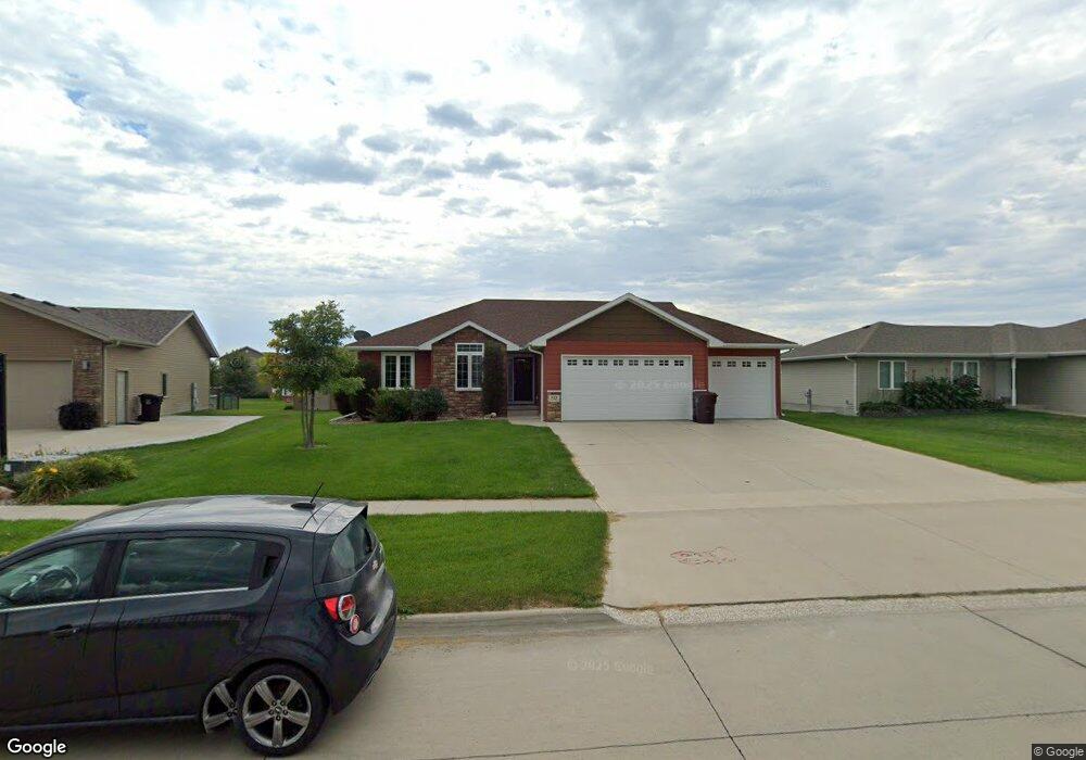
722 Stable Path Sergeant Bluff, IA 51054
Estimated Value: $304,000 - $463,000
5
Beds
4
Baths
1,456
Sq Ft
$279/Sq Ft
Est. Value
About This Home
This home is located at 722 Stable Path, Sergeant Bluff, IA 51054 and is currently estimated at $405,881, approximately $278 per square foot. 722 Stable Path is a home located in Woodbury County with nearby schools including Sergeant Bluff-Luton Primary School, Sergeant Bluff-Luton Elementary School, and Sergeant Bluff-Luton Middle School.
Ownership History
Date
Name
Owned For
Owner Type
Purchase Details
Closed on
Feb 1, 2022
Sold by
Marilyn Steichen Elizabeth
Bought by
Hadachek Jody and Hadachek Elizabeth M
Current Estimated Value
Purchase Details
Closed on
May 11, 2020
Sold by
Steichen Terry Michael
Bought by
Steichen Elizabeth Marilyn
Purchase Details
Closed on
Jul 23, 2019
Sold by
Garrett Willie and Garrett Aubra D
Bought by
Steichen Terry M and Steichen Elizabeth M
Purchase Details
Closed on
Sep 16, 2014
Sold by
Troy Griese Construction Inc
Bought by
Garrett Willie and Garrett Aubra D
Home Financials for this Owner
Home Financials are based on the most recent Mortgage that was taken out on this home.
Original Mortgage
$278,358
Interest Rate
4.15%
Mortgage Type
VA
Create a Home Valuation Report for This Property
The Home Valuation Report is an in-depth analysis detailing your home's value as well as a comparison with similar homes in the area
Home Values in the Area
Average Home Value in this Area
Purchase History
| Date | Buyer | Sale Price | Title Company |
|---|---|---|---|
| Hadachek Jody | -- | None Listed On Document | |
| Steichen Elizabeth Marilyn | -- | None Available | |
| Steichen Terry M | -- | -- | |
| Garrett Willie | $278,500 | None Available |
Source: Public Records
Mortgage History
| Date | Status | Borrower | Loan Amount |
|---|---|---|---|
| Previous Owner | Garrett Willie | $278,358 |
Source: Public Records
Tax History
| Year | Tax Paid | Tax Assessment Tax Assessment Total Assessment is a certain percentage of the fair market value that is determined by local assessors to be the total taxable value of land and additions on the property. | Land | Improvement |
|---|---|---|---|---|
| 2025 | $4,690 | $382,360 | $43,120 | $339,240 |
| 2024 | $45 | $314,290 | $34,990 | $279,300 |
| 2023 | $4,460 | $314,290 | $34,990 | $279,300 |
| 2022 | $4,422 | $262,720 | $34,990 | $227,730 |
| 2021 | $4,422 | $262,720 | $34,990 | $227,730 |
| 2020 | $2,940 | $182,660 | $37,440 | $145,220 |
| 2019 | $2,406 | $177,750 | $37,440 | $140,310 |
| 2018 | $1,964 | $145,370 | $37,440 | $107,930 |
| 2017 | $1,964 | $123,780 | $37,440 | $86,340 |
| 2016 | $1,332 | $102,200 | $0 | $0 |
| 2015 | $559 | $75,340 | $34,990 | $40,350 |
| 2014 | $1,056 | $27,990 | $27,990 | $0 |
Source: Public Records
Map
Nearby Homes
- 722 Stable Path
- 720 Stable Path
- 724 Stable Path
- 826 Cottonwood Trail
- 718 Stable Path
- 824 Cottonwood Trail
- 828 Cottonwood Trail
- 726 Stable Path
- 725 Stable Path
- 830 Cottonwood Trail
- 810 Coffie Farm Rd
- 723 Stable Path
- 822 Cottonwood Trail
- 716 Stable Path
- 832 Cottonwood Trail
- 832 Cottonwood Trail Unit 37388184
- 832 Cottonwood Trail Unit 37388181
- 832 Cottonwood Trail Unit 37388168
- 832 Cottonwood Trail Unit 37387701
- 832 Cottonwood Trail Unit 37387657
Your Personal Tour Guide
Ask me questions while you tour the home.