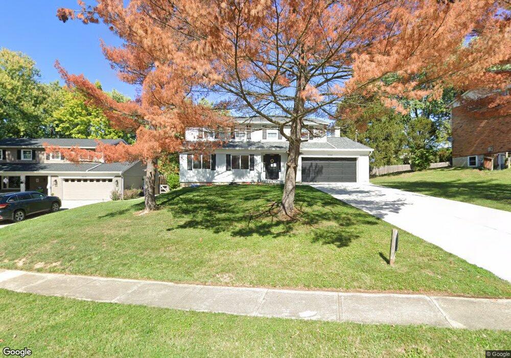
7220 Crinstead Ct Cincinnati, OH 45243
Estimated Value: $476,000 - $615,000
About This Home
This home is located at 7220 Crinstead Ct, Cincinnati, OH 45243 and is currently estimated at $541,248, approximately $262 per square foot. 7220 Crinstead Ct is a home located in Hamilton County with nearby schools including Indian Hill Primary School, Indian Hill Elementary School, and Indian Hill Middle School.
Ownership History
We collect this data history from publicly available records. To have your information removed, we recommend requesting removal directly through your county’s website.
Purchase Details
Purchase Details
Home Financials for this Owner
Home Financials are based on the most recent Mortgage that was taken out on this home.Purchase Details
Purchase Details
Home Financials for this Owner
Home Financials are based on the most recent Mortgage that was taken out on this home.Purchase Details
Purchase Details
Home Values in the Area
Average Home Value in this Area
Purchase History
We collect this data history from publicly available records. To have your information removed, we recommend requesting removal directly through your county’s website.
| Date | Buyer | Sale Price | Title Company |
|---|---|---|---|
| -- | None Listed On Document | ||
| $558,100 | None Listed On Document | ||
| $558,100 | None Listed On Document | ||
| -- | None Listed On Document | ||
| -- | None Listed On Document | ||
| -- | Rose Gordon L | ||
| -- | None Listed On Document | ||
| -- | None Available | ||
| -- | None Available |
Mortgage History
We collect this data history from publicly available records. To have your information removed, we recommend requesting removal directly through your county’s website.
| Date | Status | Borrower | Loan Amount |
|---|---|---|---|
| Previous Owner | $442,000 | ||
| Previous Owner | $320,400 |
Tax History
We collect this data history from publicly available records. To have your information removed, we recommend requesting removal directly through your county’s website.
| Year | Tax Paid | Tax Assessment Tax Assessment Total Assessment is a certain percentage of the fair market value that is determined by local assessors to be the total taxable value of land and additions on the property. | Land | Improvement |
|---|---|---|---|---|
| 2025 | $5,389 | $127,750 | $24,885 | $102,865 |
| 2024 | $5,242 | $127,750 | $24,885 | $102,865 |
| 2023 | $5,279 | $127,750 | $24,885 | $102,865 |
| 2022 | $4,076 | $91,960 | $18,582 | $73,378 |
| 2021 | $4,111 | $91,960 | $18,582 | $73,378 |
| 2020 | $3,554 | $91,960 | $18,582 | $73,378 |
| 2019 | $3,308 | $82,107 | $16,590 | $65,517 |
| 2018 | $3,314 | $82,107 | $16,590 | $65,517 |
| 2017 | $3,156 | $82,107 | $16,590 | $65,517 |
| 2016 | $2,891 | $76,024 | $15,967 | $60,057 |
| 2015 | $2,918 | $76,024 | $15,967 | $60,057 |
| 2014 | $2,901 | $76,024 | $15,967 | $60,057 |
| 2013 | $2,835 | $72,405 | $15,208 | $57,197 |
Map
- 6993 E Galbraith Rd
- 7280 E Galbraith Rd
- 7268 E Galbraith Rd
- 8305 Miami Rd
- 8343 Miami Rd
- 7807 Dee St
- 7401 N Timberlane Dr
- 7909 Locust Ln
- 7311 Miami Hills Dr
- 7451 Miami Hills Dr
- 7320 S Timberlane Dr
- 8709 Sturbridge Dr
- 7271 Thomas Dr
- 7326 Juler Ave
- 8740 Sturbridge Dr
- 5260 Autumnwood Dr
- 8452 Kenwood Rd
- 7327 Osceola Dr
- 8120 Maxfield Ln
- 7303 Iuka Ave
- 7226 Crinstead Ct
- 7111 E Galbraith Rd
- 7234 Crinstead Ct
- 7204 Crinstead Ct
- 7217 Crinstead Ct
- 7223 Crinstead Ct
- 6921 E Galbraith Rd
- 7203 Crinstead Ct
- 7229 Crinstead Ct
- 7242 Crinstead Ct
- 7237 Crinstead Ct
- 7274 Redondo Ct
- 7268 Redondo Ct
- 7280 Redondo Ct
- 7252 Redondo Ct
- 7245 Crinstead Ct
- 7248 Crinstead Ct
- 7187 E Galbraith Rd
- 7286 Redondo Ct
- 8173 Lancewood Ct
Ask me questions while you tour the home.