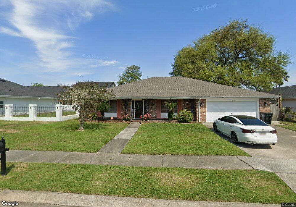
7221 Arbor Dr New Orleans, LA 70126
Little Woods NeighborhoodEstimated Value: $239,782 - $295,000
4
Beds
2
Baths
2,573
Sq Ft
$106/Sq Ft
Est. Value
About This Home
This home is located at 7221 Arbor Dr, New Orleans, LA 70126 and is currently estimated at $271,946, approximately $105 per square foot. 7221 Arbor Dr is a home located in Orleans Parish with nearby schools including KIPP East Community Primary, Robert Russa Moton Charter School, and Mary Bethune Elementary School.
Ownership History
Date
Name
Owned For
Owner Type
Purchase Details
Closed on
Feb 27, 2003
Sold by
Boutte Daryl
Bought by
Cade Sandy
Current Estimated Value
Home Financials for this Owner
Home Financials are based on the most recent Mortgage that was taken out on this home.
Original Mortgage
$210,000
Outstanding Balance
$90,608
Interest Rate
5.93%
Estimated Equity
$181,338
Create a Home Valuation Report for This Property
The Home Valuation Report is an in-depth analysis detailing your home's value as well as a comparison with similar homes in the area
Home Values in the Area
Average Home Value in this Area
Purchase History
| Date | Buyer | Sale Price | Title Company |
|---|---|---|---|
| Cade Sandy | $230,000 | -- |
Source: Public Records
Mortgage History
| Date | Status | Borrower | Loan Amount |
|---|---|---|---|
| Open | Cade Sandy | $210,000 |
Source: Public Records
Tax History Compared to Growth
Tax History
| Year | Tax Paid | Tax Assessment Tax Assessment Total Assessment is a certain percentage of the fair market value that is determined by local assessors to be the total taxable value of land and additions on the property. | Land | Improvement |
|---|---|---|---|---|
| 2025 | $2,324 | $22,940 | $4,740 | $18,200 |
| 2024 | $3,074 | $22,940 | $4,740 | $18,200 |
| 2023 | $1,941 | $20,000 | $3,550 | $16,450 |
| 2022 | $1,941 | $19,180 | $3,550 | $15,630 |
| 2021 | $2,097 | $20,000 | $3,550 | $16,450 |
| 2020 | $2,115 | $20,000 | $3,550 | $16,450 |
| 2019 | $2,186 | $20,000 | $4,740 | $15,260 |
| 2018 | $2,223 | $20,000 | $4,740 | $15,260 |
| 2017 | $2,118 | $20,000 | $4,740 | $15,260 |
| 2016 | $2,176 | $20,000 | $4,740 | $15,260 |
| 2015 | $2,705 | $23,820 | $4,740 | $19,080 |
| 2014 | -- | $23,820 | $4,740 | $19,080 |
| 2013 | -- | $23,820 | $4,740 | $19,080 |
Source: Public Records
Map
Nearby Homes
- 5654 Mayo Rd
- 40332 Morrison Rd
- 7301 Crestmont Rd
- 6841 Mayo Blvd
- 7331 Fieldston Rd
- 7631 Springlake Dr
- 6800 W Coronet Ct
- 5222 Lakeview Ct
- 7341 Edward St
- 7540 Fieldston Rd
- 5140 Bayouview Ct Unit 1
- 5600 Clements Dr
- 6701 Morrison Rd
- 6931 Coventry St
- 6906 Lake Willow Dr
- 7829 S Coronet Ct
- 41373 Curran Blvd