7226 Hwy 19 Springfield, WI 53597
Estimated Value: $304,000 - $395,094
3
Beds
2
Baths
1,352
Sq Ft
$270/Sq Ft
Est. Value
About This Home
This home is located at 7226 Hwy 19, Springfield, WI 53597 and is currently estimated at $365,274, approximately $270 per square foot. 7226 Hwy 19 is a home located in Dane County with nearby schools including Waunakee Prairie Elementary School, Waunakee Intermediate School, and Waunakee Community Middle School.
Ownership History
Date
Name
Owned For
Owner Type
Purchase Details
Closed on
Apr 18, 2011
Sold by
Ripp Thomas John and State Bank Of Cross Plains
Bought by
Gavinski Todd L
Current Estimated Value
Purchase Details
Closed on
Sep 26, 2007
Sold by
Ripp Thomas J and Estate Of Ann C Park
Bought by
Ripp Thomas J and Ripp Thomas John
Home Financials for this Owner
Home Financials are based on the most recent Mortgage that was taken out on this home.
Original Mortgage
$216,000
Interest Rate
6.38%
Mortgage Type
Purchase Money Mortgage
Purchase Details
Closed on
Sep 24, 2007
Sold by
Park James
Bought by
Ripp Thomas J
Home Financials for this Owner
Home Financials are based on the most recent Mortgage that was taken out on this home.
Original Mortgage
$216,000
Interest Rate
6.38%
Mortgage Type
Purchase Money Mortgage
Create a Home Valuation Report for This Property
The Home Valuation Report is an in-depth analysis detailing your home's value as well as a comparison with similar homes in the area
Purchase History
| Date | Buyer | Sale Price | Title Company |
|---|---|---|---|
| Gavinski Todd L | $130,500 | None Available | |
| Ripp Thomas J | $213,000 | None Available | |
| Ripp Thomas J | -- | None Available |
Source: Public Records
Mortgage History
| Date | Status | Borrower | Loan Amount |
|---|---|---|---|
| Previous Owner | Ripp Thomas J | $216,000 |
Source: Public Records
Tax History
| Year | Tax Paid | Tax Assessment Tax Assessment Total Assessment is a certain percentage of the fair market value that is determined by local assessors to be the total taxable value of land and additions on the property. | Land | Improvement |
|---|---|---|---|---|
| 2025 | $4,090 | $329,300 | $215,200 | $114,100 |
| 2023 | $3,514 | $174,300 | $114,200 | $60,100 |
| 2022 | $3,382 | $174,300 | $114,200 | $60,100 |
| 2021 | $3,368 | $174,300 | $114,200 | $60,100 |
| 2020 | $3,235 | $174,300 | $114,200 | $60,100 |
| 2019 | $2,978 | $174,300 | $114,200 | $60,100 |
| 2018 | $2,925 | $174,300 | $114,200 | $60,100 |
| 2017 | $2,973 | $174,300 | $114,200 | $60,100 |
| 2016 | $3,027 | $174,300 | $114,200 | $60,100 |
| 2015 | $2,945 | $174,300 | $114,200 | $60,100 |
| 2014 | $2,938 | $174,300 | $114,200 | $60,100 |
| 2013 | $3,047 | $174,300 | $114,200 | $60,100 |
Source: Public Records
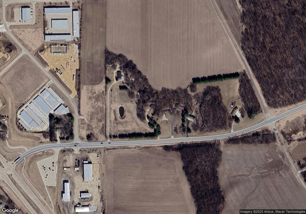
Map
Nearby Homes
- Lot 4 Hickory Run
- Lot 2 Lodi Springfield Rd
- Lot 1 Lodi Springfield Rd
- 5836 Golden Guernsey Ct
- 6387 Rimmel Ct
- L47 Valley Dr
- Lot 3 County Highway K
- 910 Westbridge
- 810 Lynn St
- 820 Lynn St
- 1408 Spahn Dr
- 822 Westbridge
- 1033 Kopp Rd
- L72 Kopp Rd
- 1323 Spahn Dr
- 809 Westbridge
- 805 Westbridge
- 803 Westbridge
- 1117 Kyron Dr
- 5228 County P Rd
- 7222 Hwy 19
- 7222 State Road 19
- 7222 State Road 19
- 7252 Hwy 19
- 7252 State Road 19
- 6072 Darlin Dr
- 7220 State Road 19
- 6072 Darlin Dr
- 7282 State Road 19
- 7212 State Road 19
- 7196 Hwy 19
- 7196 State Road 19
- 0 Hwy 19 Unit 1523889
- 0 Hwy 19 Unit 1566270
- 7306 State Road 19
- 6116 Darlin Dr
- 6116 Darlin Dr Unit 3,4
- 6040 Baltes Rd
- L9 Darlin Ct
- 6140 Lodi Springfield Rd
Your Personal Tour Guide
Ask me questions while you tour the home.