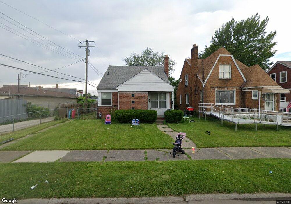
7227 Forrer St Detroit, MI 48228
Warren Avenue Community NeighborhoodEstimated Value: $82,000 - $128,000
--
Bed
1
Bath
1,190
Sq Ft
$86/Sq Ft
Est. Value
About This Home
This home is located at 7227 Forrer St, Detroit, MI 48228 and is currently estimated at $102,664, approximately $86 per square foot. 7227 Forrer St is a home located in Wayne County with nearby schools including Gardner Elementary School, Charles L. Spain Elementary-Middle School, and Edward 'Duke' Ellington Conservatory of Music and Art.
Ownership History
Date
Name
Owned For
Owner Type
Purchase Details
Closed on
Apr 15, 2022
Sold by
Hidais Abdo M
Bought by
Ace Homes Llc
Current Estimated Value
Purchase Details
Closed on
Apr 20, 2020
Sold by
Al Ashwal Mohammed A
Bought by
Hidais Abdo M
Purchase Details
Closed on
Oct 10, 2019
Sold by
County Of Wayne
Bought by
Al Ashwal Mohammed A
Create a Home Valuation Report for This Property
The Home Valuation Report is an in-depth analysis detailing your home's value as well as a comparison with similar homes in the area
Home Values in the Area
Average Home Value in this Area
Purchase History
| Date | Buyer | Sale Price | Title Company |
|---|---|---|---|
| Ace Homes Llc | -- | -- | |
| Ace Homes Llc | -- | None Listed On Document | |
| Hidais Abdo M | $15,000 | None Available | |
| Al Ashwal Mohammed A | $37,000 | None Available |
Source: Public Records
Tax History Compared to Growth
Tax History
| Year | Tax Paid | Tax Assessment Tax Assessment Total Assessment is a certain percentage of the fair market value that is determined by local assessors to be the total taxable value of land and additions on the property. | Land | Improvement |
|---|---|---|---|---|
| 2025 | $2,354 | $39,600 | $0 | $0 |
| 2024 | $2,354 | $33,200 | $0 | $0 |
| 2023 | $2,288 | $26,600 | $0 | $0 |
| 2022 | $1,757 | $22,400 | $0 | $0 |
| 2021 | $1,707 | $16,800 | $0 | $0 |
| 2020 | $1,236 | $14,700 | $0 | $0 |
| 2019 | $1,217 | $13,900 | $0 | $0 |
| 2018 | $1,110 | $14,800 | $0 | $0 |
| 2017 | $277 | $14,600 | $0 | $0 |
| 2016 | $1,344 | $18,400 | $0 | $0 |
| 2015 | $1,840 | $18,400 | $0 | $0 |
| 2013 | $2,333 | $25,875 | $0 | $0 |
| 2010 | -- | $37,074 | $874 | $36,200 |
Source: Public Records
Map
Nearby Homes
- 7337 Saint Marys St
- 7415 Mettetal St
- 6578 Montrose St
- 7019 Barrie St
- 6934 Coleman St
- 7519 Barrie St
- 7410 Barrie St
- 7309 Payne Ave
- 7115 Payne Ave
- 7776 Mettetal St
- 7768 Asbury Park
- 7801 Coleman St
- 9101 Forrer St
- 7800 Coleman St
- 7841 Barrie St
- 7115 Steadman St
- 7420 Memorial Ave
- 6932 Mead St
- 6320 Saint Marys St
- 7636 Mead St
- 7245 Forrer St
- 7235 Forrer St Unit Bldg-Unit
- 7235 Forrer St
- 15820 W Warren Ave
- 15830 W Warren Ave
- 15832 W Warren Ave
- 15752 W Warren Ave
- 7251 Forrer St
- 7228 Rutherford St
- 7232 Rutherford St
- 7244 Rutherford St
- 7228 Forrer St
- 7234 Forrer St Unit Bldg-Unit
- 7234 Forrer St
- 7261 Forrer St
- 7244 Forrer St
- 15827 Warren Ave
- 7250 Forrer St
- 7258 Rutherford St Unit Bldg-Unit
- 7258 Rutherford St