7228 Woodstock Dr Unit 19 Bloomington, MN 55438
West Bloomington NeighborhoodEstimated Value: $258,000 - $272,911
3
Beds
3
Baths
1,625
Sq Ft
$164/Sq Ft
Est. Value
About This Home
This home is located at 7228 Woodstock Dr Unit 19, Bloomington, MN 55438 and is currently estimated at $265,978, approximately $163 per square foot. 7228 Woodstock Dr Unit 19 is a home located in Hennepin County with nearby schools including Olson Elementary School, Olson Middle School, and Jefferson Senior High School.
Ownership History
Date
Name
Owned For
Owner Type
Purchase Details
Closed on
Nov 19, 2012
Sold by
Linder Carol C
Bought by
Peroutka Blain George
Current Estimated Value
Home Financials for this Owner
Home Financials are based on the most recent Mortgage that was taken out on this home.
Original Mortgage
$146,427
Outstanding Balance
$100,992
Interest Rate
3.35%
Mortgage Type
VA
Estimated Equity
$164,986
Purchase Details
Closed on
Mar 20, 1998
Sold by
Arbogast Connie L
Bought by
Linder Carol C
Create a Home Valuation Report for This Property
The Home Valuation Report is an in-depth analysis detailing your home's value as well as a comparison with similar homes in the area
Home Values in the Area
Average Home Value in this Area
Purchase History
| Date | Buyer | Sale Price | Title Company |
|---|---|---|---|
| Peroutka Blain George | $141,752 | Christensen Title Services L | |
| Linder Carol C | $116,900 | -- |
Source: Public Records
Mortgage History
| Date | Status | Borrower | Loan Amount |
|---|---|---|---|
| Open | Peroutka Blain George | $146,427 |
Source: Public Records
Tax History Compared to Growth
Tax History
| Year | Tax Paid | Tax Assessment Tax Assessment Total Assessment is a certain percentage of the fair market value that is determined by local assessors to be the total taxable value of land and additions on the property. | Land | Improvement |
|---|---|---|---|---|
| 2024 | $3,187 | $265,400 | $77,500 | $187,900 |
| 2023 | $3,010 | $261,800 | $77,500 | $184,300 |
| 2022 | $2,926 | $258,200 | $77,500 | $180,700 |
| 2021 | $2,831 | $241,900 | $71,600 | $170,300 |
| 2020 | $2,634 | $236,800 | $69,500 | $167,300 |
| 2019 | $2,407 | $217,000 | $68,500 | $148,500 |
| 2018 | $2,187 | $197,600 | $69,100 | $128,500 |
| 2017 | $1,836 | $155,300 | $59,200 | $96,100 |
| 2016 | $2,010 | $160,100 | $54,600 | $105,500 |
| 2015 | $1,904 | $148,300 | $52,500 | $95,800 |
| 2014 | -- | $134,900 | $50,900 | $84,000 |
Source: Public Records
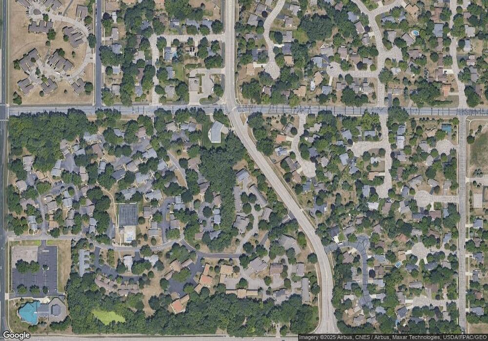
Map
Nearby Homes
- 7401 Landau Dr Unit 12
- 7256 Woodstock Dr
- 7321 Woodstock Curve
- 7534 Landau Dr
- 7433 W 105th St
- 10911 Rhode Island Ave S
- 10433 Utah Rd
- 7518 W 110th St
- 7471 W 110th St
- 7920 W 107th Street Cir
- 11058 Oregon Curve
- 11015 Oregon Curve
- 10707 Yukon Ave S
- 11048 Quebec Cir
- 10170 Utah Ave S
- 7019 W 110th Street Cir Unit 15
- 11073 Oregon Cir Unit 69
- 11159 Sumter Ave S
- 11275 Oregon Cir
- 7501 W 101st St Unit 310
- 7224 Woodstock Dr
- 7224 Woodstock Dr Unit CUR
- 7224 7224 Woodstock Dr
- 7228 7228 Woodstock-Drive-
- 7236 Woodstock Dr
- 7244 Woodstock Dr
- 7244 7244 Woodstock-Drive-
- 7236 7236 Woodstock Dr
- 7240 Woodstock Dr Unit CUR
- 7232 Woodstock Dr Unit CUR
- 7232 Woodstock Dr
- 7240 Woodstock Dr
- 7212 Woodstock Dr
- 7216 Woodstock Dr
- 7216 Woodstock Dr Unit CUR
- 7208 Woodstock Dr
- 7220 Woodstock Dr
- 7208 7208 Woodstock-Drive-
- 7212 7212 Woodstock-Drive-
- 7220 7220 Woodstock Dr