Estimated Value: $157,000 - $317,000
2
Beds
2
Baths
830
Sq Ft
$294/Sq Ft
Est. Value
About This Home
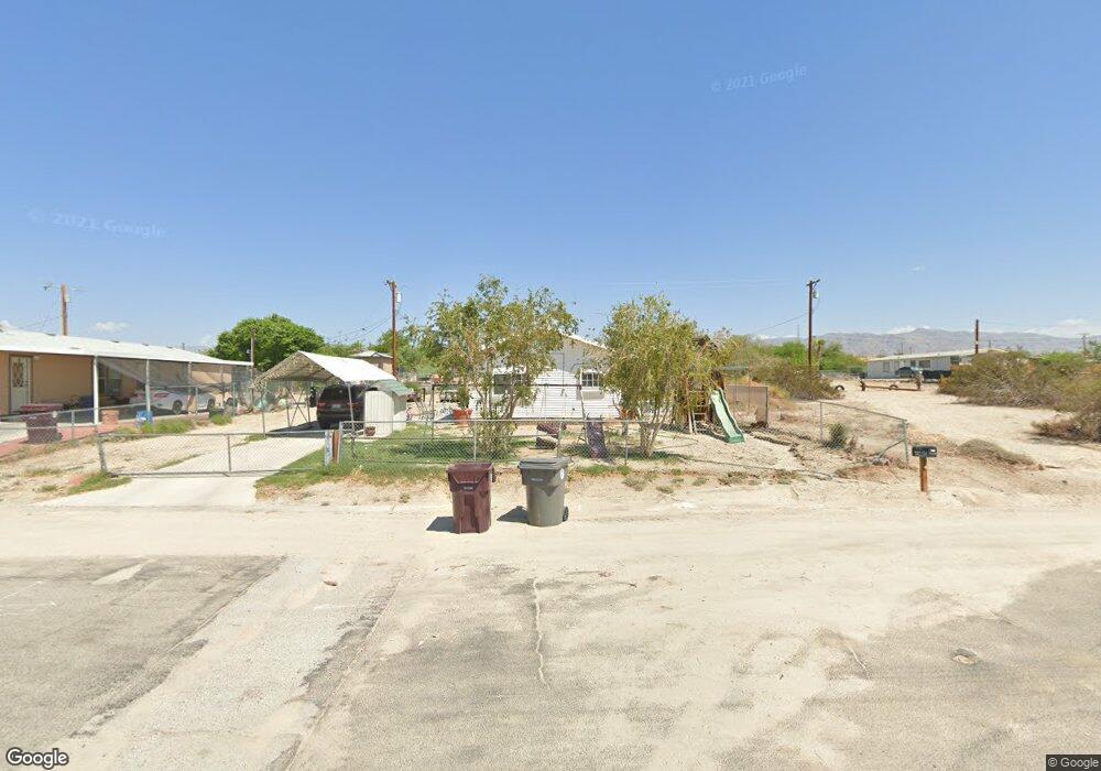
This home is located at 72280 Shell Dr, Mecca, CA 92254 and is currently estimated at $243,937, approximately $293 per square foot. 72280 Shell Dr is a home located in Riverside County with nearby schools including Saul Martinez Elementary School, Toro Canyon Middle School, and Desert Mirage High School.
Ownership History
Date
Name
Owned For
Owner Type
Purchase Details
Closed on
Mar 29, 2019
Sold by
Harmon Amos and Harmon Jeannie
Bought by
Araujo Ruben and Pantoja Maria Del Carmen
Current Estimated Value
Purchase Details
Closed on
Sep 21, 2010
Sold by
Araujo Ruben
Bought by
Harmon Amos and Harmon Jeannie
Purchase Details
Closed on
Sep 22, 2004
Sold by
Harmon Amos and Harmon Jeannie
Bought by
Araujo Ruben
Home Financials for this Owner
Home Financials are based on the most recent Mortgage that was taken out on this home.
Original Mortgage
$98,000
Interest Rate
5.67%
Mortgage Type
Seller Take Back
Purchase Details
Closed on
May 31, 1998
Sold by
Land Parcel Liquidators
Bought by
Harmon Amos and Harmon Jeannie
Create a Home Valuation Report for This Property
The Home Valuation Report is an in-depth analysis detailing your home's value as well as a comparison with similar homes in the area
Home Values in the Area
Average Home Value in this Area
Purchase History
| Date | Buyer | Sale Price | Title Company |
|---|---|---|---|
| Araujo Ruben | -- | Accommodation | |
| Harmon Amos | -- | None Available | |
| Araujo Ruben | $98,000 | Chicago Title Co | |
| Harmon Amos | $1,000 | -- |
Source: Public Records
Mortgage History
| Date | Status | Borrower | Loan Amount |
|---|---|---|---|
| Previous Owner | Araujo Ruben | $98,000 |
Source: Public Records
Tax History
| Year | Tax Paid | Tax Assessment Tax Assessment Total Assessment is a certain percentage of the fair market value that is determined by local assessors to be the total taxable value of land and additions on the property. | Land | Improvement |
|---|---|---|---|---|
| 2025 | $1,734 | $145,013 | $31,232 | $113,781 |
| 2023 | $1,734 | $139,383 | $30,020 | $109,363 |
| 2022 | $1,708 | $136,651 | $29,432 | $107,219 |
| 2021 | $1,657 | $133,972 | $28,855 | $105,117 |
| 2020 | $1,638 | $132,600 | $28,560 | $104,040 |
| 2019 | $645 | $48,227 | $12,627 | $35,600 |
| 2018 | $632 | $47,282 | $12,381 | $34,901 |
| 2017 | $630 | $46,356 | $12,139 | $34,217 |
| 2016 | $604 | $45,448 | $11,901 | $33,547 |
| 2015 | $577 | $44,767 | $11,723 | $33,044 |
| 2014 | $574 | $43,893 | $11,495 | $32,398 |
Source: Public Records
Map
Nearby Homes
- 0 Fantail Dr
- 007 Spar
- 72420 Windlass Dr
- 0 Daytona Ave
- 0 W Palm Ave Unit 219128554DA
- 0 NE Bay Dr Unit 219143511DA
- 0 W Access Rd Unit 219136598DA
- 00 Coral Reef Rd
- 00000 Corvina Dr
- 00 Vanderveer Dr
- 0 Lookout Dr Unit 219142390DA
- 0 Lookout Dr Unit 219143262DA
- 0 Power Line Rd Unit 219135381DA
- 0 Power Line Rd Unit 219135386DA
- 82250 64th Ave
- 98950 Surfside Ave
- 98920 Surfside Ave
- 101815 Sea Breeze Dr
- 1 Sea Scape Ave
- 69370 Beachcomber Dr
- 72260 Shell Dr
- 72220 Shell Dr
- 72303 Sunfish Ln
- 72270 Shoal Dr
- 72221 Shell Dr
- 72209 Shell Dr
- 0 Lot 289 Shoal Dr Unit 217015166DA
- 0 Lot 289 Shoal Dr Unit 216022848DA
- 0 Lot 289 Shoal Dr Unit 218027202DA
- 0 Lot 289 Shoal Dr Unit 216006142DA
- 0 Sunfish Ln Unit 21327074DA
- 0 Sunfish Ln Unit 219074627DA
- 0 Sunfish Ln Unit 219074625DA
- 0 Sunfish Ln Unit 217035458
- 0 Sunfish Ln Unit 219009315
- 0 Sunfish Ln
- 0 Seahorse Way
- 002 Shell Dr
- 2 Shell Dr
- 100275 Rocky Point Dr
Your Personal Tour Guide
Ask me questions while you tour the home.