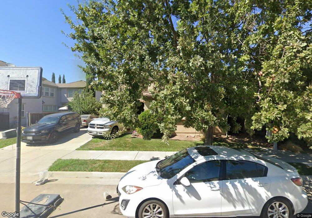
723 Brookhurst Blvd Lathrop, CA 95330
Estimated Value: $565,301 - $632,000
4
Beds
3
Baths
2,080
Sq Ft
$288/Sq Ft
Est. Value
About This Home
This home is located at 723 Brookhurst Blvd, Lathrop, CA 95330 and is currently estimated at $599,575, approximately $288 per square foot. 723 Brookhurst Blvd is a home located in San Joaquin County with nearby schools including Mossdale Elementary School, Lathrop High School, and River Island School of Technology.
Ownership History
Date
Name
Owned For
Owner Type
Purchase Details
Closed on
Apr 29, 2009
Sold by
Federal National Mortgage Association
Bought by
Bharti Gajender and Bharti Gurinder
Current Estimated Value
Home Financials for this Owner
Home Financials are based on the most recent Mortgage that was taken out on this home.
Original Mortgage
$123,750
Outstanding Balance
$77,977
Interest Rate
4.8%
Mortgage Type
Purchase Money Mortgage
Estimated Equity
$521,598
Purchase Details
Closed on
Feb 3, 2009
Sold by
Kimpo Janice and Kimpo Amado
Bought by
Federal National Mortgage Association
Purchase Details
Closed on
Mar 27, 2006
Sold by
Kb Home North Bay Inc
Bought by
Kimpo Amado and Kimpo Janice
Home Financials for this Owner
Home Financials are based on the most recent Mortgage that was taken out on this home.
Original Mortgage
$381,156
Interest Rate
6.87%
Mortgage Type
New Conventional
Create a Home Valuation Report for This Property
The Home Valuation Report is an in-depth analysis detailing your home's value as well as a comparison with similar homes in the area
Purchase History
| Date | Buyer | Sale Price | Title Company |
|---|---|---|---|
| Bharti Gajender | $165,000 | Stewart Title Of California | |
| Federal National Mortgage Association | $422,988 | Landsafe Title | |
| Kimpo Amado | $476,500 | First American Title Co |
Source: Public Records
Mortgage History
| Date | Status | Borrower | Loan Amount |
|---|---|---|---|
| Open | Bharti Gajender | $123,750 | |
| Previous Owner | Kimpo Amado | $381,156 |
Source: Public Records
Tax History
| Year | Tax Paid | Tax Assessment Tax Assessment Total Assessment is a certain percentage of the fair market value that is determined by local assessors to be the total taxable value of land and additions on the property. | Land | Improvement |
|---|---|---|---|---|
| 2025 | $5,209 | $212,464 | $52,792 | $159,672 |
| 2024 | $5,093 | $208,299 | $51,757 | $156,542 |
| 2023 | $4,953 | $204,216 | $50,743 | $153,473 |
| 2022 | $5,016 | $200,213 | $49,749 | $150,464 |
| 2021 | $4,903 | $196,288 | $48,774 | $147,514 |
| 2020 | $4,794 | $194,276 | $48,274 | $146,002 |
| 2019 | $4,731 | $190,468 | $47,328 | $143,140 |
| 2018 | $4,662 | $186,734 | $46,400 | $140,334 |
| 2017 | $4,594 | $183,074 | $45,491 | $137,583 |
| 2016 | $4,516 | $179,485 | $44,599 | $134,886 |
| 2014 | $4,351 | $173,330 | $43,070 | $130,260 |
Source: Public Records
Map
Nearby Homes
- 17753 Wheat Field St
- 660 Bramblewood Ave
- 17791 Farm House Rd
- 17837 Moonstone Way
- 17859 Moonstone Way
- 17881 Moonstone Way
- 17903 Moonstone Way
- 17925 Moonstone Way
- 329 Emory Oak Place
- 274 Crescent Moon Dr
- 17854 Moonstone Way
- 214 Apple Grove Ave
- 17898 Moonstone Way
- 17920 Moonstone Way
- 17942 Moonstone Way
- 17964 Moonstone Way
- 17359 Stone Celler Way
- 323 Autumn Rain Dr
- 523 Danbury Place
- 251 Soaring Dr
- 737 Brookhurst Blvd
- 17695 Wheat Field St
- 17679 Wheat Field St
- 17664 Red Barley Ct
- 749 Brookhurst Blvd
- 17665 Wheat Field St
- 757 Brookhurst Blvd
- 17708 Late Harvest Place
- 17643 Wheat Field St
- 17703 Wheat Field St
- 771 Brookhurst Blvd
- 17618 Red Barley Ct
- 17621 Wheat Field St
- 17667 Red Barley Ct
- 17686 Wheat Field St
- 17670 Wheat Field St
- 17727 Wheat Field St
- 17730 Late Harvest Place
- 758 Brookhurst Blvd
- 17650 Wheat Field St
Your Personal Tour Guide
Ask me questions while you tour the home.