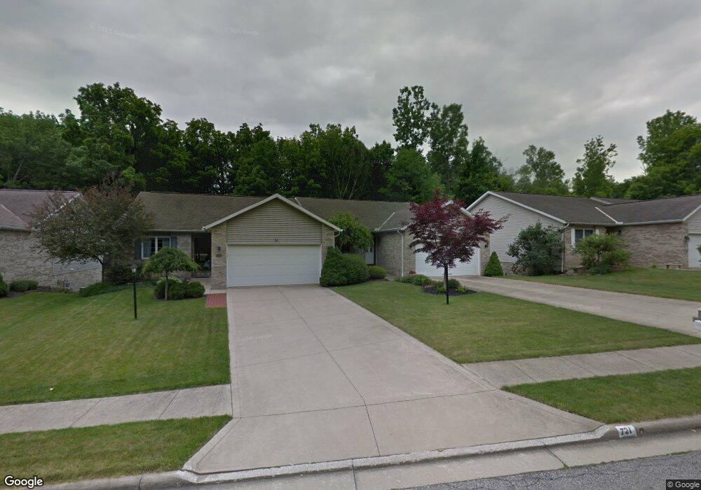
723 Deborah Ct Mansfield, OH 44904
Estimated Value: $257,406 - $305,000
2
Beds
2
Baths
1,876
Sq Ft
$154/Sq Ft
Est. Value
About This Home
This home is located at 723 Deborah Ct, Mansfield, OH 44904 and is currently estimated at $289,102, approximately $154 per square foot. 723 Deborah Ct is a home located in Richland County with nearby schools including Lexington High School, Mansfield Christian School, and Discovery School.
Ownership History
Date
Name
Owned For
Owner Type
Purchase Details
Closed on
May 30, 1997
Sold by
South Side Dev Co
Bought by
Howarth Joseph L and Howarth Harriet J
Current Estimated Value
Home Financials for this Owner
Home Financials are based on the most recent Mortgage that was taken out on this home.
Original Mortgage
$50,000
Interest Rate
7.84%
Mortgage Type
New Conventional
Create a Home Valuation Report for This Property
The Home Valuation Report is an in-depth analysis detailing your home's value as well as a comparison with similar homes in the area
Home Values in the Area
Average Home Value in this Area
Purchase History
| Date | Buyer | Sale Price | Title Company |
|---|---|---|---|
| Howarth Joseph L | $131,500 | -- |
Source: Public Records
Mortgage History
| Date | Status | Borrower | Loan Amount |
|---|---|---|---|
| Closed | Howarth Joseph L | $50,000 |
Source: Public Records
Tax History Compared to Growth
Tax History
| Year | Tax Paid | Tax Assessment Tax Assessment Total Assessment is a certain percentage of the fair market value that is determined by local assessors to be the total taxable value of land and additions on the property. | Land | Improvement |
|---|---|---|---|---|
| 2024 | $2,391 | $58,690 | $7,050 | $51,640 |
| 2023 | $2,391 | $58,690 | $7,050 | $51,640 |
| 2022 | $2,449 | $51,870 | $6,810 | $45,060 |
| 2021 | $2,458 | $51,870 | $6,810 | $45,060 |
| 2020 | $2,460 | $51,870 | $6,810 | $45,060 |
| 2019 | $2,177 | $43,950 | $5,770 | $38,180 |
| 2018 | $1,853 | $43,950 | $5,770 | $38,180 |
| 2017 | $1,897 | $43,950 | $5,770 | $38,180 |
| 2016 | $1,962 | $45,690 | $5,600 | $40,090 |
| 2015 | $1,960 | $45,690 | $5,600 | $40,090 |
| 2014 | $1,960 | $45,690 | $5,600 | $40,090 |
| 2012 | $959 | $47,090 | $5,770 | $41,320 |
Source: Public Records
Map
Nearby Homes
- 0 Rippling Brook Dr
- 1702 Middle Bellville Rd
- 710 Cloverleaf Ct
- 1720 Rippling Brook Dr
- 1689 Middle Bellville Rd
- 1690 Riva Ridge Dr Unit 1690
- 1696 Riva Ridge Dr
- 1790 Rippling Brook Dr
- 763 York St W
- 615 Bailey Dr
- 601 Karlson Dr
- 1809 Sawmill Place Unit 1811
- 646 Kennedy Dr
- 1840 Blue Cedar Dr
- 591 Straub Rd W
- 1915 Red Oak Dr
- 531 Sequoia Ln
- 1928 Middle Bellville Rd
- 1011 Princeton Trace
- 0 Banyan Ln
- 727 Deborah Ct
- 721 Deborah Ct
- 729 Deborah Ct
- 717 Deborah Ct
- 715 Deborah Ct
- 0 Deborah Ct Lot 22674
- 711 Deborah Ct
- 1708 Rocky Rill Ct
- 1707 Rocky Rill Ct
- 709 Deborah Ct
- 0 Deborah Ct Lot 22665
- 0 Deborah Ct Lot 22666
- 1669 Rippling Brook Dr (P)
- 1669 Rippling Brook Dr
- 0 Deborah Ct Lot 22660
- 1667 Rippling Brook Dr
- 704 Deborah Ct
- 1682 Rippling Brook Dr
- 1716 Rocky Rill Ct
- 1709 Rocky Rill Ct