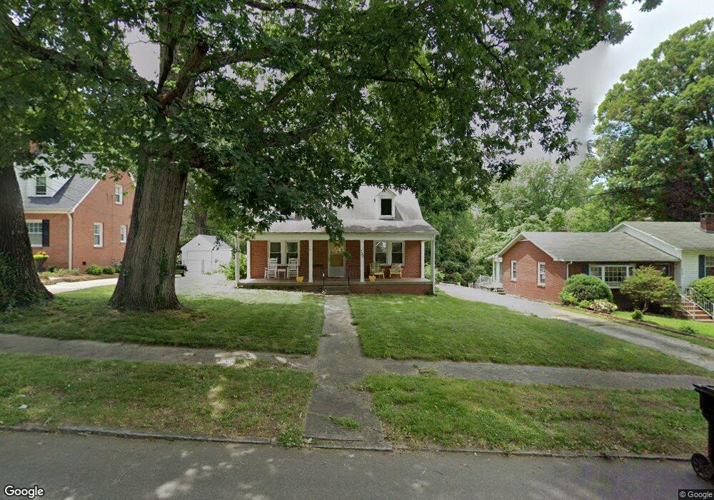
723 Forrest St High Point, NC 27262
Greater High Point NeighborhoodEstimated Value: $179,052 - $285,000
3
Beds
1
Bath
1,544
Sq Ft
$146/Sq Ft
Est. Value
About This Home
This home is located at 723 Forrest St, High Point, NC 27262 and is currently estimated at $226,013, approximately $146 per square foot. 723 Forrest St is a home located in Guilford County with nearby schools including Kirkman Park Elementary School, Penn-Griffin School for the Arts, and T.W. Andrews High School.
Ownership History
Date
Name
Owned For
Owner Type
Purchase Details
Closed on
Apr 12, 2007
Sold by
Whiteman Kimberly
Bought by
Whiteman Robert
Current Estimated Value
Purchase Details
Closed on
Apr 12, 1999
Sold by
Smith Dorothy P
Bought by
Whiteman Robert and Whiteman Kimberly
Home Financials for this Owner
Home Financials are based on the most recent Mortgage that was taken out on this home.
Original Mortgage
$83,640
Interest Rate
6.85%
Mortgage Type
VA
Create a Home Valuation Report for This Property
The Home Valuation Report is an in-depth analysis detailing your home's value as well as a comparison with similar homes in the area
Home Values in the Area
Average Home Value in this Area
Purchase History
| Date | Buyer | Sale Price | Title Company |
|---|---|---|---|
| Whiteman Robert | -- | None Available | |
| Whiteman Robert | $82,000 | -- |
Source: Public Records
Mortgage History
| Date | Status | Borrower | Loan Amount |
|---|---|---|---|
| Previous Owner | Whiteman Robert | $83,640 |
Source: Public Records
Tax History
| Year | Tax Paid | Tax Assessment Tax Assessment Total Assessment is a certain percentage of the fair market value that is determined by local assessors to be the total taxable value of land and additions on the property. | Land | Improvement |
|---|---|---|---|---|
| 2025 | $1,746 | $126,700 | $14,000 | $112,700 |
| 2024 | $1,746 | $126,700 | $14,000 | $112,700 |
| 2023 | $1,746 | $126,700 | $14,000 | $112,700 |
| 2022 | $1,708 | $126,700 | $14,000 | $112,700 |
| 2021 | $1,485 | $107,800 | $16,800 | $91,000 |
| 2020 | $1,485 | $107,800 | $16,800 | $91,000 |
| 2019 | $1,485 | $107,800 | $0 | $0 |
| 2018 | $1,478 | $107,800 | $0 | $0 |
| 2017 | $1,485 | $107,800 | $0 | $0 |
| 2016 | $1,424 | $101,500 | $0 | $0 |
| 2015 | $1,431 | $101,500 | $0 | $0 |
| 2014 | $1,456 | $101,500 | $0 | $0 |
Source: Public Records
Map
Nearby Homes
- 719 Forrest St
- 721 Forrest St
- 509 Woodrow Ave
- 304 Louise Ave
- 910 E Dayton Ave
- 905 Mint Ave
- 837 Willow Place
- 1310 Madison St
- 1108 Forrest St
- 1110 Forrest St
- 844 Willow Place
- 1428 Futrelle Dr
- 513 Saunders Place Unit A & B
- 511 Saunders Place Unit A & B
- 613 Woodridge Ln
- 1433 Larkin St
- 1518 Johnson St
- 1308 Boundary Ave
- 207 Hillcrest Dr
- 1507 Larkin St
- 727 Forrest St
- 720 Brookside Dr
- 717 Forrest St
- 720 Forrest St
- 722 Forrest St
- 718 Forrest St
- 724 Forrest St
- 718 Brookside Dr
- 546 E Farriss Ave
- 726 Forrest St
- 715 Forrest St
- 401 North Ave
- 716 Brookside Dr
- 544 E Farriss Ave
- 728 Forrest St
- 713 Forrest St
- 405 North Ave
- 542 E Farriss Ave
- 909 Denny St
- 907 Denny St
Your Personal Tour Guide
Ask me questions while you tour the home.