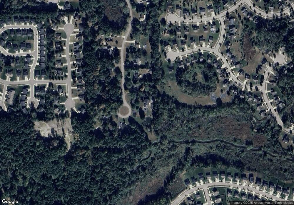
723 Foxfire Dr Unit Bldg-Unit Howell, MI 48843
Estimated Value: $423,000 - $571,000
4
Beds
4
Baths
3,127
Sq Ft
$154/Sq Ft
Est. Value
About This Home
This home is located at 723 Foxfire Dr Unit Bldg-Unit, Howell, MI 48843 and is currently estimated at $480,661, approximately $153 per square foot. 723 Foxfire Dr Unit Bldg-Unit is a home located in Livingston County with nearby schools including Southwest Elementary School, Parker Middle School, and Howell High School.
Ownership History
Date
Name
Owned For
Owner Type
Purchase Details
Closed on
Apr 20, 2018
Sold by
Cheney Daniel R
Bought by
Cassatt Leah and Cassatt Harry
Current Estimated Value
Purchase Details
Closed on
Jul 29, 2011
Sold by
Fannie Mae
Bought by
Cheney Daniel R
Purchase Details
Closed on
Sep 15, 2010
Sold by
Stombaugh Beverly A and Stombaugh Thomas E
Bought by
Federal National Mortgage Association
Purchase Details
Closed on
May 14, 2002
Sold by
Bank One Na
Bought by
Hardy Beverly A
Home Financials for this Owner
Home Financials are based on the most recent Mortgage that was taken out on this home.
Original Mortgage
$148,500
Interest Rate
7.07%
Mortgage Type
Purchase Money Mortgage
Purchase Details
Closed on
Jul 11, 2001
Sold by
Johnson Michael T
Bought by
Bank One Na
Purchase Details
Closed on
Apr 25, 1998
Sold by
Johnson Kenneth B and Rose Ruth
Bought by
Johnson Michael T
Create a Home Valuation Report for This Property
The Home Valuation Report is an in-depth analysis detailing your home's value as well as a comparison with similar homes in the area
Home Values in the Area
Average Home Value in this Area
Purchase History
| Date | Buyer | Sale Price | Title Company |
|---|---|---|---|
| Cassatt Leah | $238,900 | -- | |
| Cheney Daniel R | $136,000 | -- | |
| Federal National Mortgage Association | $238,052 | -- | |
| Hardy Beverly A | $165,000 | -- | |
| Bank One Na | $141,191 | -- | |
| Johnson Michael T | $140,000 | Lawyers Title Insurance Corp |
Source: Public Records
Mortgage History
| Date | Status | Borrower | Loan Amount |
|---|---|---|---|
| Previous Owner | Hardy Beverly A | $148,500 |
Source: Public Records
Tax History
| Year | Tax Paid | Tax Assessment Tax Assessment Total Assessment is a certain percentage of the fair market value that is determined by local assessors to be the total taxable value of land and additions on the property. | Land | Improvement |
|---|---|---|---|---|
| 2025 | $2,750 | $214,600 | $0 | $0 |
| 2024 | $2,671 | $220,800 | $0 | $0 |
| 2023 | $2,552 | $207,700 | $0 | $0 |
| 2022 | $3,470 | $171,300 | $0 | $0 |
| 2021 | $3,345 | $171,300 | $0 | $0 |
| 2020 | $3,409 | $154,900 | $0 | $0 |
| 2019 | $6,031 | $147,000 | $0 | $0 |
| 2018 | $4,435 | $150,400 | $0 | $0 |
| 2017 | $4,363 | $153,100 | $0 | $0 |
| 2016 | $4,332 | $158,400 | $0 | $0 |
| 2014 | $4,022 | $123,500 | $0 | $0 |
| 2012 | $4,022 | $100,100 | $0 | $0 |
Source: Public Records
Map
Nearby Homes
- 1031 Kemperwood Ct
- 2226 Wood Ln
- 552 Hewitt St
- 1177 Lockes St
- 1201 Lockes St
- 1189 Lockes St
- 11 W Legrand St
- 1040 Spirea Unit 56
- 457 Hosta
- 909 S Michigan Ave
- 210 Canyon Creek Ct Unit 2
- 1012 Camellia Cir Unit 48
- 1034 Camellia Cir Unit 46
- 1054 Camellia Cir Unit 44
- 1025 Camellia Cir Unit 41
- 1031 Camellia Cir Unit 40
- 522 Fleming St
- 1200 Portsmouth Dr
- 88 Champlain Blvd
- 1234 Hudson Dr Unit 49
- 723 Foxfire Dr
- 699 Foxfire Dr
- 21 Foxfire Dr
- 665 Foxfire Dr
- 776 Foxfire Dr
- 857 Dewars St Unit 30
- 623 Foxfire Dr
- 726 Foxfire Dr
- 758 Foxfire Dr
- 845 Dewars St
- 638 Foxfire Dr
- 833 Dewars St
- 581 Foxfire Dr
- 858 Dewars St
- 594 Foxfire Dr
- 821 Dewars St Unit 33
- 297 Crystal Ct Unit 18
- 846 Dewars St
- 281 Crystal Ct
- 273 Crystal Ct Unit 15
