Estimated Value: $354,464 - $592,000
Studio
--
Bath
1,531
Sq Ft
$346/Sq Ft
Est. Value
About This Home
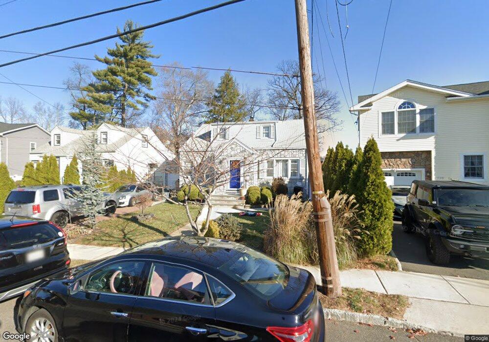
This home is located at 723 Palisade Rd, Union, NJ 07083 and is currently estimated at $529,616, approximately $345 per square foot. 723 Palisade Rd is a home located in Union County with nearby schools including Washington Elementary School, Union High School, and Jewish Educational Center Lower School.
Ownership History
Date
Name
Owned For
Owner Type
Purchase Details
Closed on
Dec 22, 2020
Sold by
Arias Ronny and Benamburg Gisele Arguello
Bought by
Salas Sharon and Salas Ulises A
Current Estimated Value
Home Financials for this Owner
Home Financials are based on the most recent Mortgage that was taken out on this home.
Original Mortgage
$255,000
Interest Rate
2.6%
Mortgage Type
New Conventional
Purchase Details
Closed on
Jun 9, 2006
Sold by
Catalano Donna
Bought by
Arias Ronny
Home Financials for this Owner
Home Financials are based on the most recent Mortgage that was taken out on this home.
Original Mortgage
$51,750
Interest Rate
6.6%
Mortgage Type
Stand Alone Second
Purchase Details
Closed on
Jul 21, 1995
Sold by
Stotzer Albert and Stotzer Christine
Bought by
Stotzer Albert J and Catalano Donna
Create a Home Valuation Report for This Property
The Home Valuation Report is an in-depth analysis detailing your home's value as well as a comparison with similar homes in the area
Home Values in the Area
Average Home Value in this Area
Purchase History
| Date | Buyer | Sale Price | Title Company |
|---|---|---|---|
| Salas Sharon | $380,000 | Olde School Title Svcs Llc | |
| Arias Ronny | $345,000 | -- | |
| Stotzer Albert J | -- | -- |
Source: Public Records
Mortgage History
| Date | Status | Borrower | Loan Amount |
|---|---|---|---|
| Previous Owner | Salas Sharon | $255,000 | |
| Previous Owner | Arias Ronny | $51,750 | |
| Previous Owner | Arias Ronny | $276,000 |
Source: Public Records
Tax History
| Year | Tax Paid | Tax Assessment Tax Assessment Total Assessment is a certain percentage of the fair market value that is determined by local assessors to be the total taxable value of land and additions on the property. | Land | Improvement |
|---|---|---|---|---|
| 2025 | $9,946 | $44,500 | $20,000 | $24,500 |
| 2024 | $9,643 | $44,500 | $20,000 | $24,500 |
| 2023 | $9,643 | $44,500 | $20,000 | $24,500 |
| 2022 | $9,308 | $44,500 | $20,000 | $24,500 |
| 2021 | $9,082 | $44,500 | $20,000 | $24,500 |
| 2020 | $8,901 | $44,500 | $20,000 | $24,500 |
| 2019 | $8,781 | $44,500 | $20,000 | $24,500 |
| 2018 | $8,632 | $44,500 | $20,000 | $24,500 |
| 2017 | $8,504 | $44,500 | $20,000 | $24,500 |
| 2016 | $8,297 | $44,500 | $20,000 | $24,500 |
| 2015 | $8,159 | $44,500 | $20,000 | $24,500 |
| 2014 | $7,976 | $44,500 | $20,000 | $24,500 |
Source: Public Records
Map
Nearby Homes
- 925 Woodland Ave
- 662 Summit Rd
- 15 Donald Place
- 842 Travers St
- 757 Floral Ave Unit 59
- 833 Cleveland Ave Unit 835
- 760 Floral Ave Unit 62
- 305 Hillside Rd Unit 7
- 437 Durling Rd
- 736 Vivian Terrace
- 301 Hillside Rd
- 825 Bishop St
- 749 Cleveland Ave Unit 751
- 737 Bailey Ave Unit 39
- 241 Hillside Rd
- 40 Raymond Terrace Unit 42
- 795 Colonial Arms Rd
- 836 Livingston Rd Unit 838
- 157 Hillside Rd Unit 159
- 172 Glenwood Rd Unit 74
- 727 Palisade Rd
- 719 Palisade Rd
- 731 Palisade Rd
- 715 Palisade Rd
- 735 Palisade Rd
- 720 Palisade Rd
- 710 Palisade Rd
- 724 Palisade Rd
- 711 Palisade Rd
- 728 Palisade Rd
- 704 Palisade Rd
- 733 Summit Rd
- 709 Palisade Rd
- 700 Palisade Rd
- 731 Summit Rd
- 705 Palisade Rd
- 905 Woodland Ave
- 760 Summit Rd
- 741 Woodland Ave
- 725 Summit Rd
Your Personal Tour Guide
Ask me questions while you tour the home.