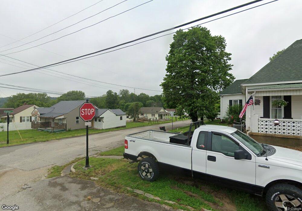
723 Upper Circle Dr Shoals, IN 47581
Estimated Value: $141,000 - $173,000
3
Beds
2
Baths
1,252
Sq Ft
$130/Sq Ft
Est. Value
About This Home
This home is located at 723 Upper Circle Dr, Shoals, IN 47581 and is currently estimated at $162,975, approximately $130 per square foot. 723 Upper Circle Dr is a home with nearby schools including Shoals Community Elementary School, Shoals Middle School, and Shoals Community Junior/Senior High School.
Ownership History
Date
Name
Owned For
Owner Type
Purchase Details
Closed on
Oct 30, 2015
Sold by
Spurgeon Robert L
Bought by
Howell Sherry I and Howell Terry L
Current Estimated Value
Home Financials for this Owner
Home Financials are based on the most recent Mortgage that was taken out on this home.
Original Mortgage
$68,000
Outstanding Balance
$25,864
Interest Rate
3.82%
Mortgage Type
New Conventional
Estimated Equity
$137,111
Create a Home Valuation Report for This Property
The Home Valuation Report is an in-depth analysis detailing your home's value as well as a comparison with similar homes in the area
Purchase History
| Date | Buyer | Sale Price | Title Company |
|---|---|---|---|
| Howell Sherry I | -- | None Available |
Source: Public Records
Mortgage History
| Date | Status | Borrower | Loan Amount |
|---|---|---|---|
| Open | Howell Sherry I | $68,000 |
Source: Public Records
Tax History
| Year | Tax Paid | Tax Assessment Tax Assessment Total Assessment is a certain percentage of the fair market value that is determined by local assessors to be the total taxable value of land and additions on the property. | Land | Improvement |
|---|---|---|---|---|
| 2025 | $1,249 | $159,500 | $18,400 | $141,100 |
| 2024 | $1,249 | $144,000 | $17,600 | $126,400 |
| 2023 | $1,249 | $134,600 | $16,700 | $117,900 |
| 2022 | $1,117 | $128,000 | $16,200 | $111,800 |
| 2021 | $987 | $111,900 | $14,400 | $97,500 |
| 2020 | $833 | $103,900 | $13,300 | $90,600 |
| 2019 | $730 | $97,800 | $12,600 | $85,200 |
| 2018 | $668 | $92,600 | $12,600 | $80,000 |
| 2017 | $589 | $89,000 | $12,600 | $76,400 |
| 2016 | $562 | $88,500 | $12,600 | $75,900 |
| 2014 | $153 | $5,200 | $3,900 | $1,300 |
| 2013 | -- | $5,200 | $3,700 | $1,500 |
Source: Public Records
Map
Nearby Homes
- 807 Upper Circle Dr
- 0 Lynwood St
- 524 High St
- 0 Hilltop Dr Unit 25 201822398
- 10559 Boyd Hollow Rd
- 0 Peggy Hollow Rd Unit 202530973
- 14619 N State Road 450
- 14619 Indiana 450
- 14716 McBride Bluff Rd
- 15850 Witt Rd
- 7862 Butler Bridge Rd
- 7862 Butler Ridge Rd
- 96.6 AC Reinhart Rd
- 1559 Scenic Hill Rd
- 1624 Reinhart Rd
- 102 Eastgate Ave
- 309 SE 1st St
- 0 Friends Creek Rd
- 207 Church St
- 205 S Oak St
- 421 Capital Ave
- 732 Upper Circle Dr
- 714 Capital Ave
- 331 Lynwood St
- 325 Lynwood St
- 409 Lynwood St
- 307 Lynwood St
- 306 Street No 1 St
- 726 Lower Circle Dr
- 327 Street No 1 St
- 421 Lynwood St
- 800 Upper Circle Dr
- 802 Lower Circle Dr
- 811 Upper Circle Dr
- 631 Capital Ave
- 630 Stephens St
- 731 Lower Circle Dr
- 814 Lower Circle Dr
- 414 Lynwood St
- 433 Lynwood St
Your Personal Tour Guide
Ask me questions while you tour the home.