Estimated Value: $428,728 - $531,000
4
Beds
3
Baths
2,416
Sq Ft
$199/Sq Ft
Est. Value
About This Home
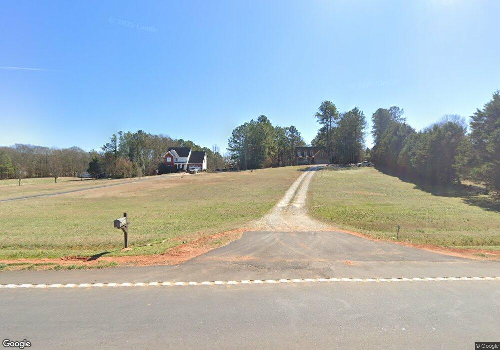
This home is located at 7230 Highway 172, Comer, GA 30629 and is currently estimated at $480,932, approximately $199 per square foot. 7230 Highway 172 is a home located in Madison County with nearby schools including Madison County High School.
Ownership History
Date
Name
Owned For
Owner Type
Purchase Details
Closed on
Mar 15, 2012
Bought by
Christian Cory R
Current Estimated Value
Home Financials for this Owner
Home Financials are based on the most recent Mortgage that was taken out on this home.
Original Mortgage
$189,050
Outstanding Balance
$129,048
Interest Rate
3.89%
Mortgage Type
New Conventional
Estimated Equity
$351,884
Create a Home Valuation Report for This Property
The Home Valuation Report is an in-depth analysis detailing your home's value as well as a comparison with similar homes in the area
Purchase History
| Date | Buyer | Sale Price | Title Company |
|---|---|---|---|
| Christian Cory R | $199,000 | -- | |
| Christian Cory R | $199,000 | -- | |
| Christian Cory R | $199,000 | -- |
Source: Public Records
Mortgage History
| Date | Status | Borrower | Loan Amount |
|---|---|---|---|
| Open | Christian Cory R | $189,050 |
Source: Public Records
Tax History
| Year | Tax Paid | Tax Assessment Tax Assessment Total Assessment is a certain percentage of the fair market value that is determined by local assessors to be the total taxable value of land and additions on the property. | Land | Improvement |
|---|---|---|---|---|
| 2025 | $4,152 | $163,394 | $22,182 | $141,212 |
| 2024 | $40 | $159,094 | $22,182 | $136,912 |
| 2023 | $4,481 | $146,797 | $18,485 | $128,312 |
| 2022 | $3,409 | $123,579 | $12,708 | $110,871 |
| 2021 | $2,873 | $94,126 | $12,708 | $81,418 |
| 2020 | $2,837 | $92,278 | $10,860 | $81,418 |
| 2019 | $2,815 | $90,518 | $10,860 | $79,658 |
| 2018 | $2,712 | $86,939 | $9,936 | $77,003 |
| 2017 | $2,526 | $87,712 | $9,242 | $78,470 |
| 2016 | $2,171 | $75,636 | $9,242 | $66,394 |
| 2015 | $2,172 | $75,636 | $9,242 | $66,394 |
| 2014 | $2,134 | $73,840 | $7,562 | $66,278 |
| 2013 | -- | $73,840 | $7,562 | $66,278 |
Source: Public Records
Map
Nearby Homes
- 3159 Vineyards Creek Church Rd
- 0 Paoli Rd Unit 23882833
- 0 Hwy 191 Unit CL350619
- 4115 Georgia 191
- 6356 Highway 191
- 6356 Georgia 191
- 1271 Della Slaton Rd
- 0 Poss Rd Unit 11540856
- 2285 Cherokee Rd
- 0 Lowe Rd Unit 10614126
- 760 Fortson Compton Rd
- 1350 C O Draper Rd
- 10 Shannons Ln
- 130 Shannons Place
- 2665 Paoli St Unit TRACT 3
- 2633 Paoli St Unit TRACT 1
- 52 Willow Oak Cir
- 640 Gholston St
- 116 Scarlett Oak Ln
- 0 Georgia 191
- 7230 Highway 172
- 7230 Highway 172
- 7240 Georgia 172
- 7360 Highway 172
- 7360 Georgia 172
- 7102 Highway 172
- 7102 Georgia 172
- 7319 Highway 172
- 7075 Highway 172
- 6974 Highway 172
- 0 Collins Brooks Rd Unit 10642235
- 0 Collins Brooks Rd Unit CL343375
- 0 Collins Brooks Rd Unit 981765
- 0 Collins Brooks Rd Unit 981489
- 0 Collins Brooks Rd Unit LOT 4 2919167
- 0 Collins Brooks Rd Unit 8977023
- 0 Collins Brooks Rd Unit 8576609
- 00 Duffell Martin Rd
- 0 Duffell Martin Rd Unit CM941836
- 0 Duffell Martin Rd Unit CM322847
Your Personal Tour Guide
Ask me questions while you tour the home.