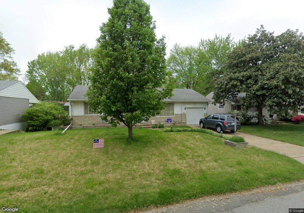
7231 General Sherman Ln Saint Louis, MO 63123
Estimated Value: $260,095 - $303,000
2
Beds
2
Baths
1,160
Sq Ft
$238/Sq Ft
Est. Value
About This Home
This home is located at 7231 General Sherman Ln, Saint Louis, MO 63123 and is currently estimated at $276,274, approximately $238 per square foot. 7231 General Sherman Ln is a home located in St. Louis County with nearby schools including Mesnier Primary School, Gotsch Intermediate School, and Rogers Middle School.
Ownership History
Date
Name
Owned For
Owner Type
Purchase Details
Closed on
Jun 29, 2005
Sold by
Bretscher David J
Bought by
Bretscher David J
Current Estimated Value
Purchase Details
Closed on
Oct 28, 2004
Sold by
Becnel Warren J and Becnel Elaine H
Bought by
Bretscher David J
Create a Home Valuation Report for This Property
The Home Valuation Report is an in-depth analysis detailing your home's value as well as a comparison with similar homes in the area
Home Values in the Area
Average Home Value in this Area
Purchase History
| Date | Buyer | Sale Price | Title Company |
|---|---|---|---|
| Bretscher David J | -- | -- | |
| Bretscher David J | $145,000 | -- |
Source: Public Records
Mortgage History
| Date | Status | Borrower | Loan Amount |
|---|---|---|---|
| Closed | Bretscher David J | -- |
Source: Public Records
Tax History Compared to Growth
Tax History
| Year | Tax Paid | Tax Assessment Tax Assessment Total Assessment is a certain percentage of the fair market value that is determined by local assessors to be the total taxable value of land and additions on the property. | Land | Improvement |
|---|---|---|---|---|
| 2025 | $3,149 | $46,140 | $15,260 | $30,880 |
| 2024 | $3,149 | $38,820 | $10,170 | $28,650 |
| 2023 | $3,045 | $38,820 | $10,170 | $28,650 |
| 2022 | $2,997 | $34,810 | $11,190 | $23,620 |
| 2021 | $2,928 | $34,810 | $11,190 | $23,620 |
| 2020 | $2,580 | $28,590 | $9,840 | $18,750 |
| 2019 | $2,559 | $28,590 | $9,840 | $18,750 |
| 2018 | $2,416 | $23,850 | $6,860 | $16,990 |
| 2017 | $2,401 | $23,850 | $6,860 | $16,990 |
| 2016 | $2,338 | $24,700 | $5,150 | $19,550 |
| 2015 | $2,345 | $24,700 | $5,150 | $19,550 |
| 2014 | $2,459 | $25,790 | $6,730 | $19,060 |
Source: Public Records
Map
Nearby Homes
- 7243 General Sherman Ln
- 7101 Fernbrook Dr
- 7123 Craighill Dr
- 8405 Rockhaven Ln
- 7452 Rockwood Dr
- 8415 Rockhaven Ln
- 1405 Culverhill Dr
- 1118 S Laclede Station Rd
- 7936 Radnor Dr
- 8261 Watson Rd
- 430 Cannonbury Dr
- 739 Hurstgreen Rd
- 8853 Raleigh Dr
- 6540 Lawnside Dr
- 8875 Rock Forest Dr
- 6843 Preservation Pkwy
- 6819 Preservation Pkwy
- 7369 Whitehaven Dr
- 6804 Snowy Owl Ln
- 6738 Snowy Owl Ln
- 7225 General Sherman Ln
- 7237 General Sherman Ln
- 7221 General Sherman Ln
- 8138 S Laclede Station Rd
- 8200 S Laclede Station Rd
- 7226 General Sherman Ln
- 8134 S Laclede Station Rd
- 7220 General Sherman Ln
- 7232 General Sherman Ln
- 8204 S Laclede Station Rd
- 7217 General Sherman Ln
- 7249 General Sherman Ln
- 7238 General Sherman Ln
- 7212 General Sherman Ln
- 8130 S Laclede Station Rd
- 7213 General Sherman Ln
- 8208 S Laclede Station Rd
- 7210 Shellburne Dr
- 7239 Marlton Ln
- 7244 General Sherman Ln