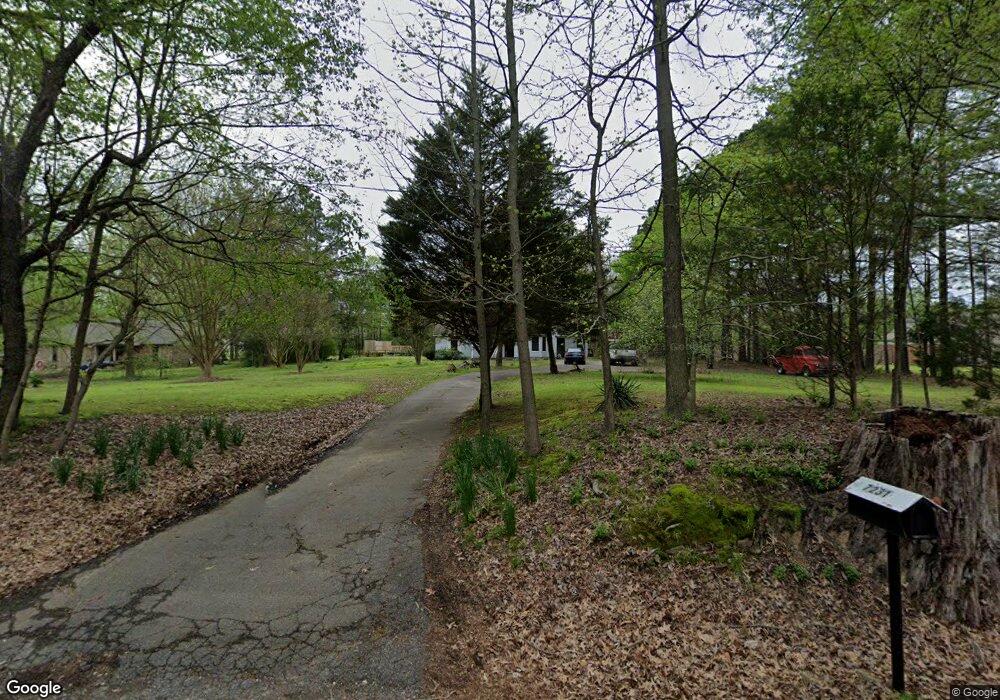
7231 Independence Rd Millington, TN 38053
Estimated Value: $225,000 - $294,767
4
Beds
2
Baths
2,725
Sq Ft
$101/Sq Ft
Est. Value
About This Home
This home is located at 7231 Independence Rd, Millington, TN 38053 and is currently estimated at $274,442, approximately $100 per square foot. 7231 Independence Rd is a home located in Shelby County with nearby schools including E.E. Jeter Elementary School and Trezevant High School.
Ownership History
Date
Name
Owned For
Owner Type
Purchase Details
Closed on
Jun 10, 2019
Sold by
Cox Eric S
Bought by
Cox Eric S and Cox Lisa C
Current Estimated Value
Purchase Details
Closed on
Sep 14, 2015
Sold by
Cox Kendra R
Bought by
Cox Eric S
Purchase Details
Closed on
Nov 30, 1998
Sold by
Nix Danny T and Nix Maryrose T
Bought by
Cox Eric S and Cox Kendra R
Home Financials for this Owner
Home Financials are based on the most recent Mortgage that was taken out on this home.
Original Mortgage
$138,500
Interest Rate
6.62%
Create a Home Valuation Report for This Property
The Home Valuation Report is an in-depth analysis detailing your home's value as well as a comparison with similar homes in the area
Home Values in the Area
Average Home Value in this Area
Purchase History
| Date | Buyer | Sale Price | Title Company |
|---|---|---|---|
| Cox Eric S | -- | None Available | |
| Cox Eric S | -- | Attorney | |
| Cox Eric S | $138,500 | -- |
Source: Public Records
Mortgage History
| Date | Status | Borrower | Loan Amount |
|---|---|---|---|
| Previous Owner | Cox Eric S | $138,500 |
Source: Public Records
Tax History Compared to Growth
Tax History
| Year | Tax Paid | Tax Assessment Tax Assessment Total Assessment is a certain percentage of the fair market value that is determined by local assessors to be the total taxable value of land and additions on the property. | Land | Improvement |
|---|---|---|---|---|
| 2025 | $1,576 | $61,975 | $7,100 | $54,875 |
| 2024 | $1,576 | $46,475 | $6,225 | $40,250 |
| 2023 | $1,576 | $46,475 | $6,225 | $40,250 |
| 2022 | $1,576 | $46,475 | $6,225 | $40,250 |
| 2021 | $1,603 | $46,475 | $6,225 | $40,250 |
| 2020 | $1,304 | $32,200 | $5,675 | $26,525 |
| 2019 | $1,304 | $32,200 | $5,675 | $26,525 |
| 2018 | $1,304 | $32,200 | $5,675 | $26,525 |
| 2017 | $1,323 | $32,200 | $5,675 | $26,525 |
| 2016 | $1,311 | $30,000 | $0 | $0 |
| 2014 | $1,311 | $30,000 | $0 | $0 |
Source: Public Records
Map
Nearby Homes
- 7265 Ward Rd
- 7550 Woodstock Cuba Rd
- 1907 Campbell Rd
- 1849 Campbell Rd
- 6770 Camp John Rd
- 7790 Deer Lake Dr
- 7441 Walsh Rd
- 2078 Russell Bond Rd
- 1 Walsh Rd
- 1435 Walsh Cove
- 6234 Woodstock Cuba Rd
- 6639 Old Millington Rd
- 0 N Watkins Unit 10203950
- 0 N Watkins Unit 10193620
- 6746 Old Millington Rd
- 8292 Rankin Branch Rd
- 7050 Locke Rd
- 1144 Locke Cuba Rd
- 2714 Moonview Rd
- 6525 N Watkins Rd
- 7215 Independence Rd
- 7245 Independence Rd
- 7240 Independence Rd
- 7191 Independence Rd
- 7260 Independence Rd
- 7275 Independence Rd
- 7182 Independence Rd
- 7200 Independence Rd
- 7280 Independence Rd
- 2331 Garnet Rd
- 7165 Independence Rd
- 2309 Garnet Rd
- 2295 Garnet Rd
- 7162 Independence Rd
- 2285 Garnet Rd
- 0 Independence Rd Unit 3180633
- 0 Independence Rd Unit 3194286
- 0 Independence Rd Unit 3234732
- 0 Independence Rd Unit 9930012
- 0 Independence Rd Unit 9947605