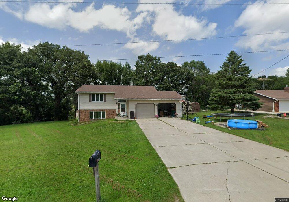
72332 197th St Albert Lea, MN 56007
Estimated Value: $214,000 - $280,000
3
Beds
2
Baths
1,720
Sq Ft
$143/Sq Ft
Est. Value
About This Home
This home is located at 72332 197th St, Albert Lea, MN 56007 and is currently estimated at $245,801, approximately $142 per square foot. 72332 197th St is a home located in Freeborn County with nearby schools including Sibley Elementary School, Southwest Middle School, and Albert Lea Senior High School.
Ownership History
Date
Name
Owned For
Owner Type
Purchase Details
Closed on
Jul 14, 2017
Sold by
Grund James A and Grund Yolanda
Bought by
Brooks Nicole and Brooks Joseph
Current Estimated Value
Create a Home Valuation Report for This Property
The Home Valuation Report is an in-depth analysis detailing your home's value as well as a comparison with similar homes in the area
Home Values in the Area
Average Home Value in this Area
Purchase History
| Date | Buyer | Sale Price | Title Company |
|---|---|---|---|
| Brooks Nicole | $148,900 | None Available |
Source: Public Records
Tax History
| Year | Tax Paid | Tax Assessment Tax Assessment Total Assessment is a certain percentage of the fair market value that is determined by local assessors to be the total taxable value of land and additions on the property. | Land | Improvement |
|---|---|---|---|---|
| 2025 | $1,730 | $209,100 | $39,400 | $169,700 |
| 2024 | $1,758 | $188,600 | $39,400 | $149,200 |
| 2023 | $1,654 | $181,500 | $39,400 | $142,100 |
| 2022 | $1,652 | $159,900 | $27,600 | $132,300 |
| 2021 | $1,640 | $147,100 | $27,600 | $119,500 |
| 2020 | $1,510 | $135,000 | $19,700 | $115,300 |
| 2019 | $1,444 | $135,000 | $19,700 | $115,300 |
| 2018 | $1,200 | $0 | $0 | $0 |
| 2016 | $830 | $0 | $0 | $0 |
| 2015 | $1,034 | $0 | $0 | $0 |
| 2014 | $1,070 | $0 | $0 | $0 |
| 2012 | $1,422 | $0 | $0 | $0 |
Source: Public Records
Map
Nearby Homes
- 2334 W 9th St
- 2330 W 9th St
- 2313 W 9th St
- 2418 W Main St
- 2200 W 9th St
- 2722 Campus Ln
- 1704 Plainview Ln
- 1020 Swanhill Dr
- 1429 31 Spartan Ave
- 1608 Plainview Ln
- 1614 Gateway Dr
- 1115 Swanhill Dr
- 1006 Maplehill Dr
- 809 Maplehill Dr Unit 5
- 1023 S 4th Ave
- 109 N 6th Ave
- 1507 Louis St
- 114 N 6th Ave
- 1629 Seath Dr
- 1314 Dunham St
- 72348 197th St
- XXXXX 197th St
- 72368 197th St
- 72319 197th St
- 72385 197th St
- 19720 724th Ave
- 19655 724th Ave
- 19696 724th Ave
- 19607 724th Ave
- TBD 724th Ave
- 19582 724th Ave
- 19578 724th Ave
- 19538 724th Ave
- 19503 724th Ave
- 19506 724th Ave
- 19475 724th Ave
- TBD 720th Ave
- 19436 724th Ave
- 19736 720th Ave
- 19738 720th Ave
Your Personal Tour Guide
Ask me questions while you tour the home.